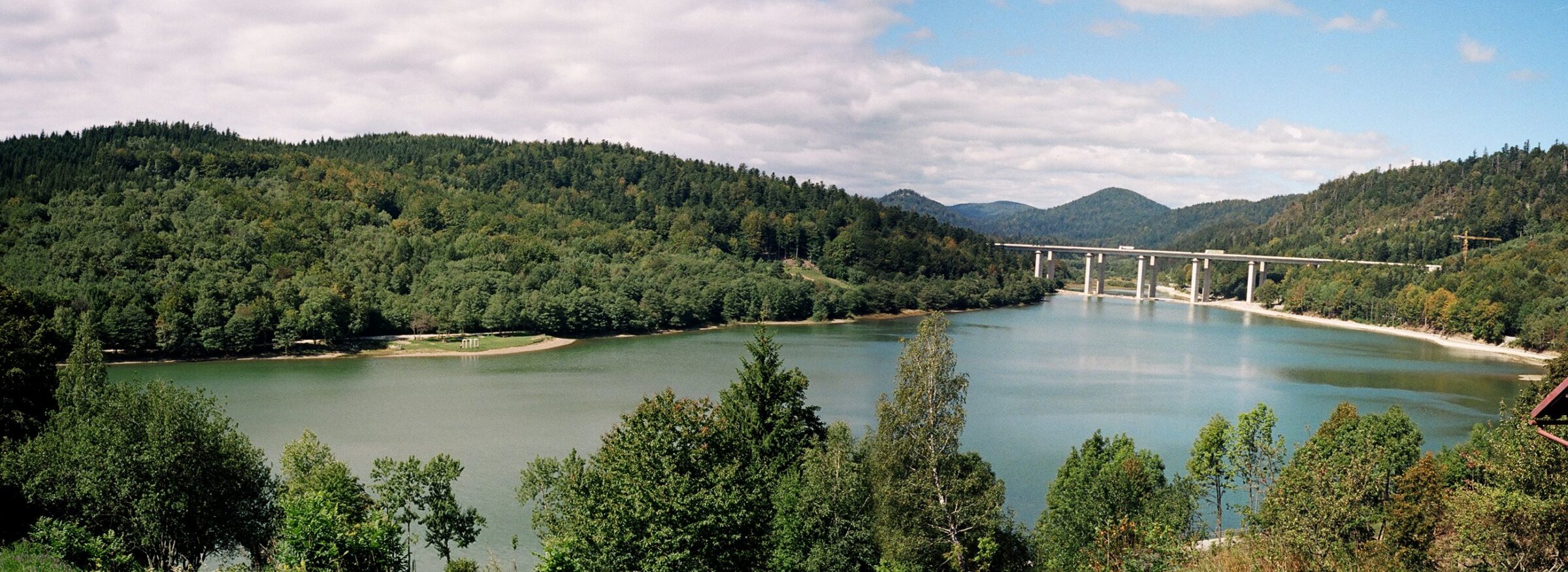
Bajer is an artificial reservoir created in 1952 by damming the Ličanka river near Fužine in Gorski Kotar. It was built for the Vinodol hydroelectric power plant but became a magnet for tourists and weekenders, with paths along the shore, boats to rent, fishing permits and the Vrelo cave, which was discovered in 1950 during construction and is now lit and accessible without steps. The name bajer means an artificial lake in some parts of Croatia.
How it formed
Bajer is a shallow reservoir in the valley of the Ličanka, right beside Fužine. It belongs to the Vinodol hydroelectric system, which collects the water of Gorski kotar’s lakes and rivers and drops it through tunnels and pipelines from more than 700 m above the sea to the power plant at Tribalj near the coast, one of the greatest heads in Europe.
History
The dam was built in 1952, making Bajer the oldest of the Fužine reservoirs; Lepenica and the small Potkoš followed later. While it was being built, in 1950, the workers broke into the Vrelo cave, which was reworked and lit in 1998 and has no steps, so children and wheelchair users can visit it too. Weekend houses, restaurants and rooms for rent soon gathered around the lake, and Fužine became a resort for summer and winter alike.
Nature
The lake is full of fish and is one of the most popular angling waters in Gorski kotar. The local angling club looks after the nearby Potkoš pond as a natural spawning ground for trout, which had been under pressure from pike.
Gallery
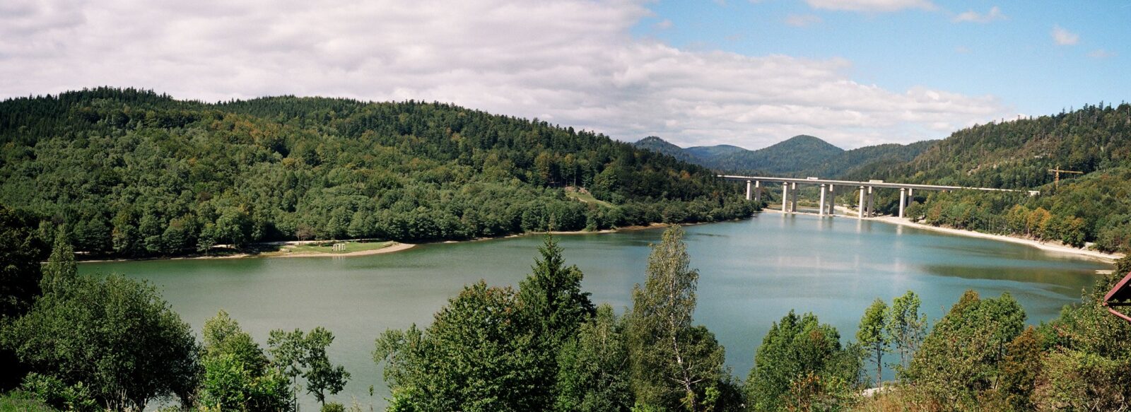
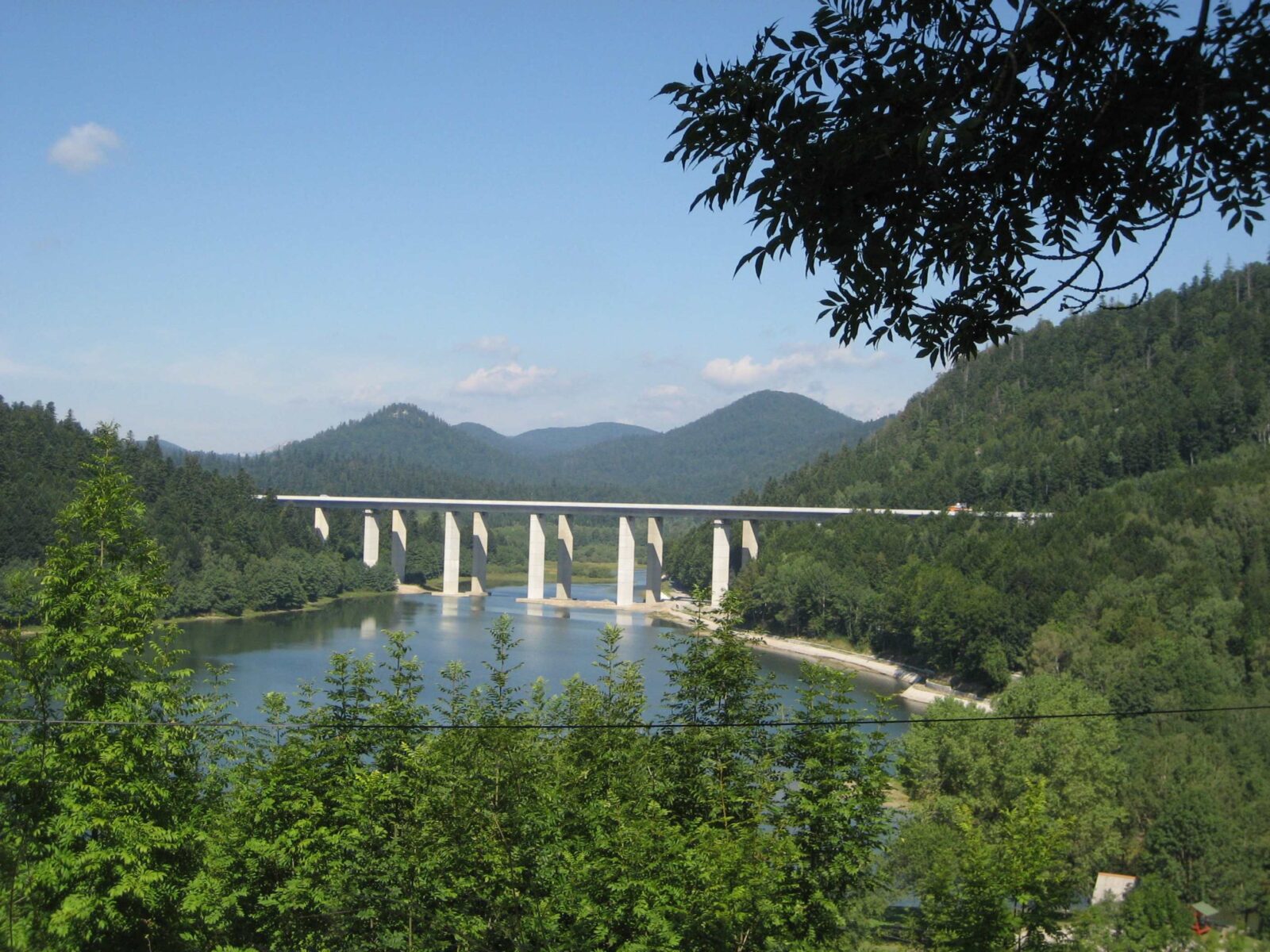 Photo: Modzzak · CC BY-SA 3.0
Visit
Getting there
Nearest settlement: Fužine
Swimming
No reliable information
Tips
Bajer, built in 1952 on the Ličanka near the centre of Fužine, is only 2 to 7 m deep. A scenic trail of about 7 km for walkers and cyclists wraps around it, and the little tourist train “Fužine Express” and a tourist boat add to the charm. It is one of the most popular fishing spots in Gorski Kotar. For a swim, go to nearby Lepenica.
The frequent wind makes Bajer good for small sailing boats, canoes, kayaks and paddleboards, and horse-drawn carriages also circle the lake. A flat path links Bajer with Lepenica, and the Preradović trail starts nearby; finish with the Vrelo cave, an easy underground walk on bridges and lit paths.
Nearby lakes
Show on map


Know Bajer well?
Suggest a beach, viewpoint, trail or amenity, or tell us if something has changed. We read every message.
Sources & data
- Statistički ljetopis Republike Hrvatske 2004, table 1-11 "Jezera / Lakes", Državni zavod za statistiku, 2004
- Croatia's 2022 Water Framework Directive reporting to the EEA: lake water bodies (SWB, category LW), field cArea, European Environment Agency (WISE WFD), reported by Croatia, 2022
- OpenStreetMap: Jezero Bajer (way 273496712), OpenStreetMap contributors
- Croatian Wikipedia: Bajer, Wikimedia Foundation
- Wikidata: Bajer (Q12627523), Wikimedia Foundation
- Bajer Lake, Gorski Kotar Bike
- Lakes of Gorski Kotar, Gorski Kotar Tourist Board