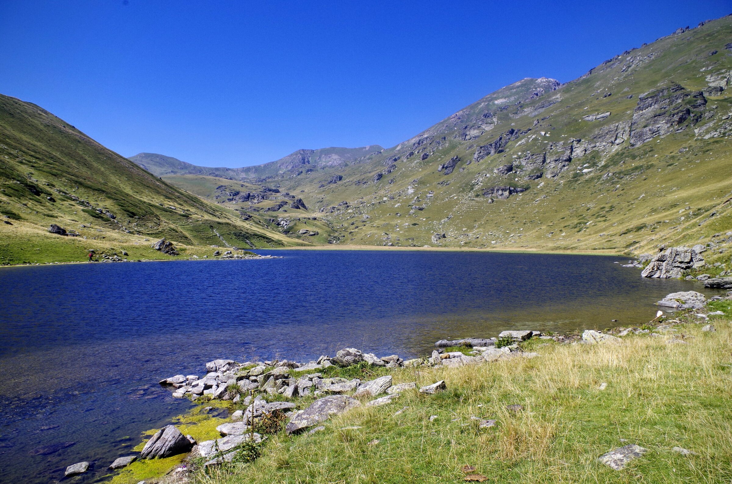
Photo: Македонец · CC BY-SA 4.0
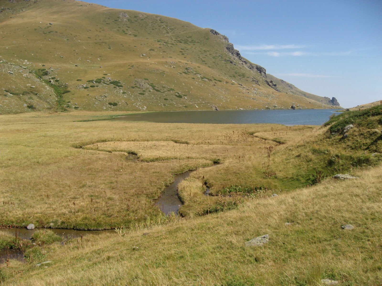
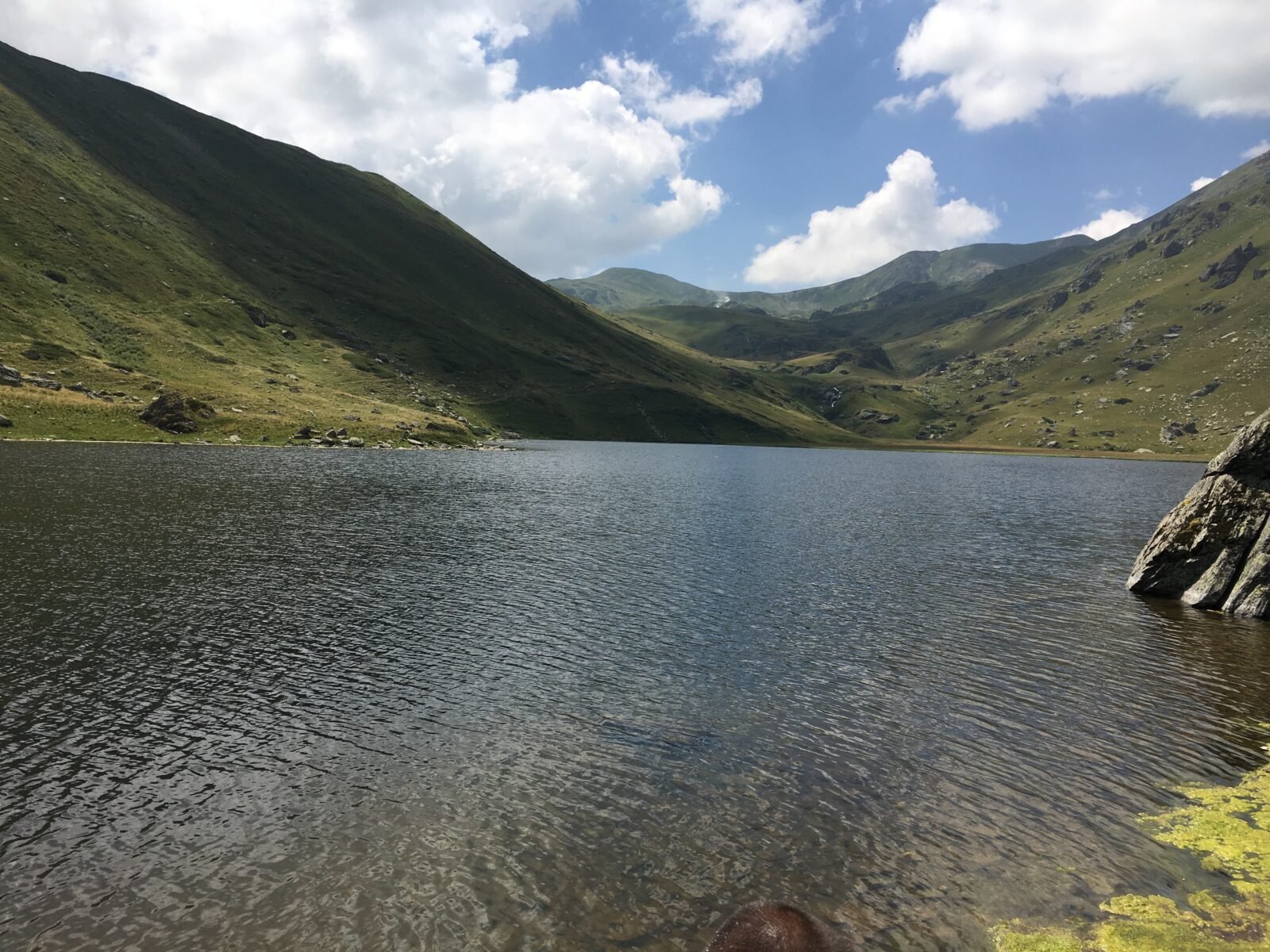
Bogovinje Lake, Liqeni i Bogovinës in Albanian, is a glacial lake on the northern side of the Brustovec range in the Šar Mountains, in the municipality of Bogovinje, south of Tetovo. One of some 39 lakes in the range and said to be the largest on the Macedonian side, it is protected as a monument of nature. The Bogovinska river flows out of it.
Gallery
Visit
Swimming
No reliable information
Tips
The lake is reached on foot from Novo Selo. A wide dirt jeep road runs for the first 3 km, and a forest trail then starts at the hydropower plant, climbing about 7 km to the high lakes.
The one-way three-lakes route also takes in Crno Ezero and Belo Ezero and has marked places for drinking water. The trails are poorly marked, so take a map or GPS track; the access road is rough and muddy in wet weather. Getting into the water is not recommended, because of fishing nets.
Nearby lakes
Show on map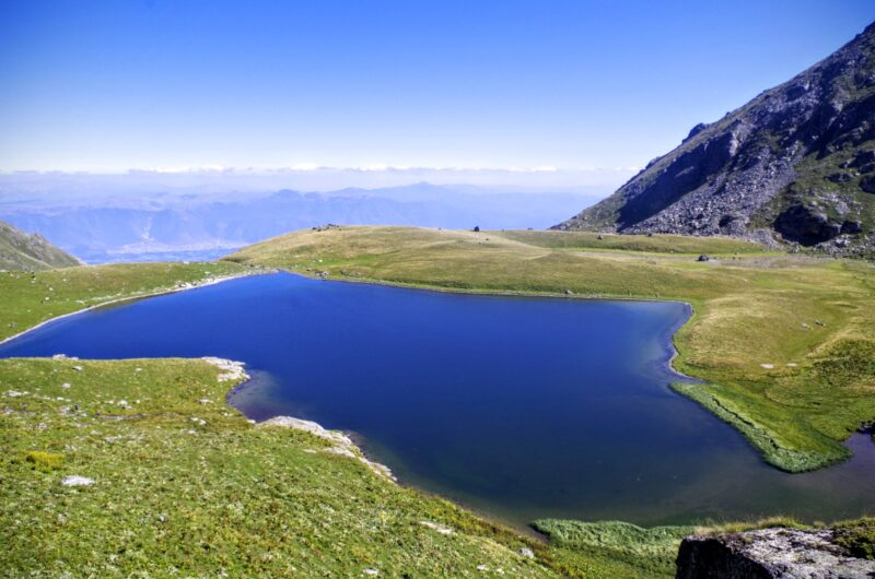


Know Bogovinje Lake well?
Suggest a beach, viewpoint, trail or amenity, or tell us if something has changed. We read every message.
Sources & data
- Wikidata: Bogovinje Lake (Q12273457), Wikimedia Foundation
- OpenStreetMap: Боговињско езеро (way 196279940), OpenStreetMap contributors
- English Wikipedia: Bogovinje Lake, Wikimedia Foundation
- Bogovinjsko Ezero – Trpeznica – Džinibeg, Loc.wiki
- Municipality of Bogovinje, Flags of the World
- Crno Ezero – Belo Ezero – Bogovinjsko Ezero, Wikiloc