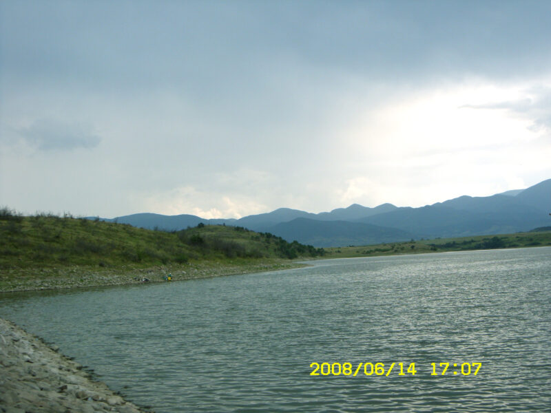
 Photo: Stela Zlatkova · CC BY-SA 3.0
The Ezerovo reservoir lies above the village of Ezerovo in Parvomay municipality, Plovdiv Province, at the northern edge of the Rhodopes and the foot of the Aida and Dragoyna hills. It is the second lake on the Kayaliyka river, after Bryagovo.
How it formed
Built in 1957, with an earth dam and clay core about 18 m high, it is used for irrigation and fish farming. The area was once the bed of a large prehistoric lake, and small freshwater fossils can be found near the “white stones” at Semer Dere. There is a small cave on the east bank.
History
In 1965, palaeontologists found an almost complete skeleton of the giant elephant relative Deinotherium giganteum near Ezerovo. The original is at the Sofia University museum, with a replica in Asenovgrad.
Visit
Swimming
No reliable information
Tips
Anglers can fish for a fee, for carp, bighead and silver carp, pike, catfish, rudd and chub. In the village, see the Church of St Nicholas of 1851 and the house-museum of the poet Vanya Petkova. The Chuchura mineral spring, with a fountain dated 1868, is about 3 km away. Parvomay is about 13 km to the north-west.
Nearby lakes
Show on map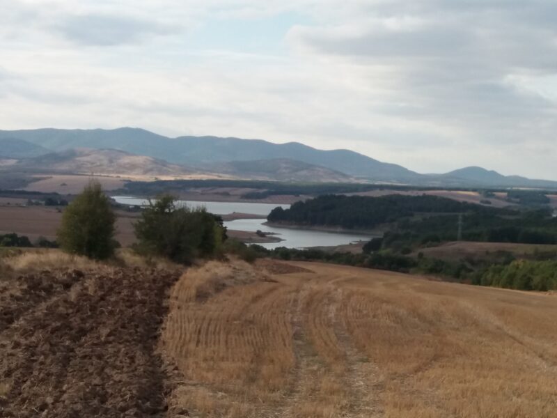


Know Ezerovo Reservoir well?
Suggest a beach, viewpoint, trail or amenity, or tell us if something has changed. We read every message.
Sources & data
- Bulgaria's 2022 Water Framework Directive reporting to the EEA: lake (LW) and transitional (TW) water bodies, field cArea, European Environment Agency (WISE WFD), reported by Bulgaria, 2022
- OpenStreetMap: яз. Езерово (way 506043365), OpenStreetMap contributors
- Bulgarian Wikipedia: Езерово (язовир), Wikimedia Foundation
- Wikidata: ezerovo-reservoir (Q12279550), Wikimedia Foundation
- Wikipedia: Ezerovo, Plovdiv Province, Wikimedia Foundation