
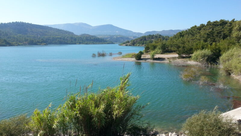
 Photo: Flingeflung · CC BY-SA 4.0
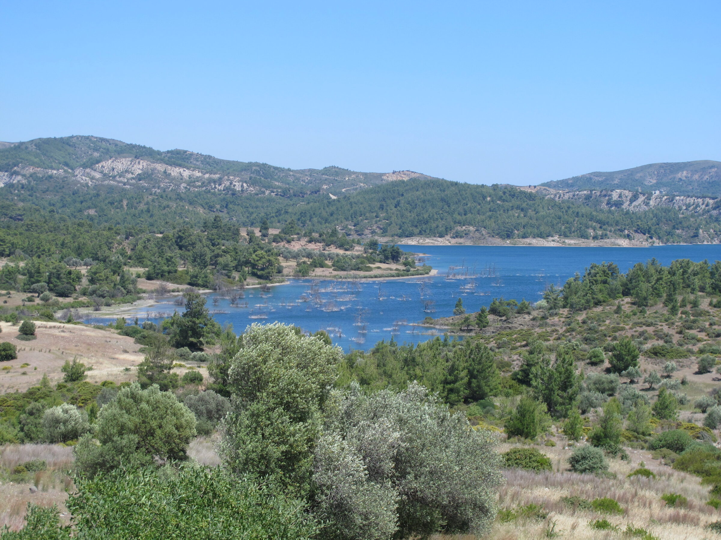
Photo: Kritzolina · CC BY-SA 4.0
The Gadouras reservoir is a large lake in the middle of Rhodes, on the Gadouras torrent near Laerma, among green hills, with Mount Attavyros on the skyline. It covers about 4 km².
How it formed
Before it was built, the island lived mostly on wells, and overuse had lowered the groundwater and let in brackish water. Work began in 2002, and the dam opened in 2014, supplying drinking water to the Rhodes urban area, the coastal villages and the islands of Halki, Symi and Kastellorizo.
Nature
Great crested and little grebes and little egrets live on the water, with bee-eaters, turtle doves, woodchat shrikes and warblers in the dry scrub of the surrounding hills.
Visit
Swimming
No reliable information
Tips
The reservoir is signposted off the Lardos–Laerma road, the easiest way by car, with a few parking places on the way to the dam. There is no public transport nearby. There is a fine view from the top of the dam, and a road runs along much of the lake. One approach from Massari has been signed as closed, so follow the signs.
The area is popular with walkers: one route of about 21 km runs from Massari over the dam to Lardos. There is nothing to eat or drink along the way, so carry plenty of water and food, and avoid walking in high summer.
Nearby lakes
Show on mapPhoto: Flingeflung · CC BY-SA 4.0
Know Gadouras Reservoir well?
Suggest a beach, viewpoint, trail or amenity, or tell us if something has changed. We read every message.
Sources & data
- Greece's 2022 Water Framework Directive reporting to the EEA: lake (LW) and transitional (TW) water bodies, field cArea, European Environment Agency (WISE WFD), reported by Greece, 2022
- OpenStreetMap: Τεχνητή Λίμνη Γαδουρά (relation 6157022), OpenStreetMap contributors
- Wikidata: Gadouras reservoir (Q122260722), Wikimedia Foundation
- Gadoura Dam, Greeka
- Gadoura reservoir, Birdingplaces
- Gadouras Dam, Rhodes Guide
- Expedition to the Gadoura dam and reservoir, Rhodes Walks