
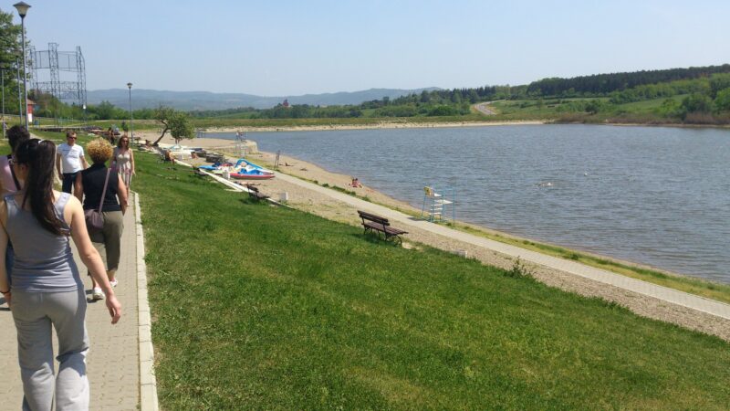
 Photo: Михаило Јовановић · CC BY 3.0
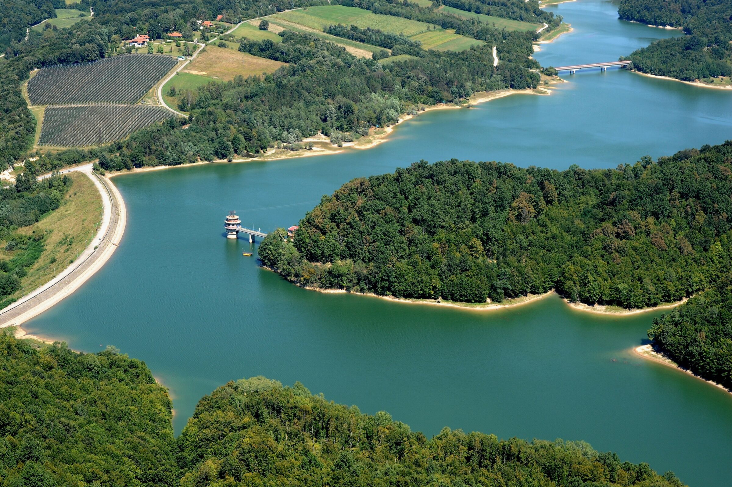
Photo: Foto Goran · CC BY-SA 4.0
Garaško jezero is a reservoir in the heart of Šumadija, on the slopes of Bukulja near Aranđelovac, built to supply the town and its surroundings with water. It spreads into three arms, Vrba, Lekić and Milićević, among meadows and woods that change colour with the seasons, and it is a favourite picnic place for people from Aranđelovac.
How it formed
The lake was made in the mid-1970s by damming a river, and it takes its name from the hamlet of Garaši, flooded when the dam was built.
Nature
Pike, pike-perch, catfish, silver bream, grass carp and chub live in the lake, which makes it popular with anglers.
Visit
Getting there
Nearest settlement: Aranđelovac
Swimming
No reliable information
Tips
Swimming is not allowed in the lake, but fishing is. Bukulja is about 80 km from Belgrade: leave the Belgrade–Niš motorway for Aranđelovac and follow the signs.
A circular hike of about 18 km, some six hours, starts at the mountain hut near the lookout on Bukulja’s summit and takes in both this lake and the smaller Bukulja Lake, returning up the gravel road from Garaši in about two hours. Follow the bicycle signposts and red-and-white marks, and expect overgrown stretches. Risovača Cave, a well-known Palaeolithic site, is close by.
Nearby lakes
Show on mapPhoto: Михаило Јовановић · CC BY 3.0
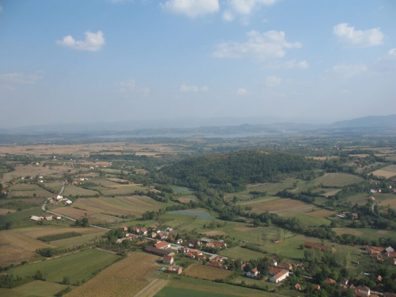 Photo: CrniBombarder!!! · CC BY-SA 3.0

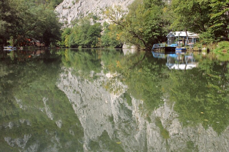 Photo: BrankaVV · CC BY-SA 4.0

Know Garaško jezero well?
Suggest a beach, viewpoint, trail or amenity, or tell us if something has changed. We read every message.
Sources & data
- Wikidata: Garaško Lake (Q853607), Wikimedia Foundation
- Serbian Wikipedia: Списак језера у Србији, Wikimedia Foundation
- OpenStreetMap: Гарашко језеро (way 48227489), OpenStreetMap contributors
- Serbian Wikipedia: Гарашко језеро, Wikimedia Foundation
- A blue jewel under Mt. Bukulja: Garaško Lake, Telegraf
- Bukulja (lakes Bukulja and Garaši), Planine.net