
 Photo: Atdhebuja · CC BY-SA 4.0

Albania · Albanian Alps · Northern Albania
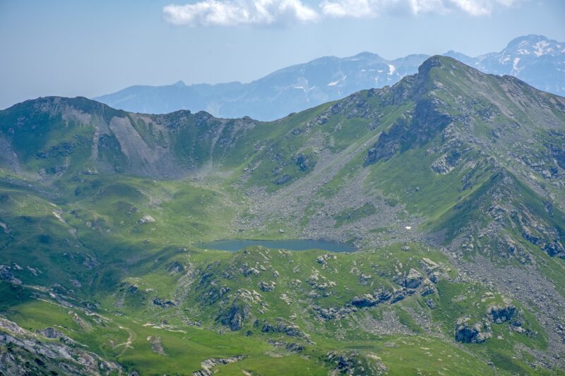
Lake Dashi
Glacial · natural
~4.8 kmaway
2,167 metreselevation
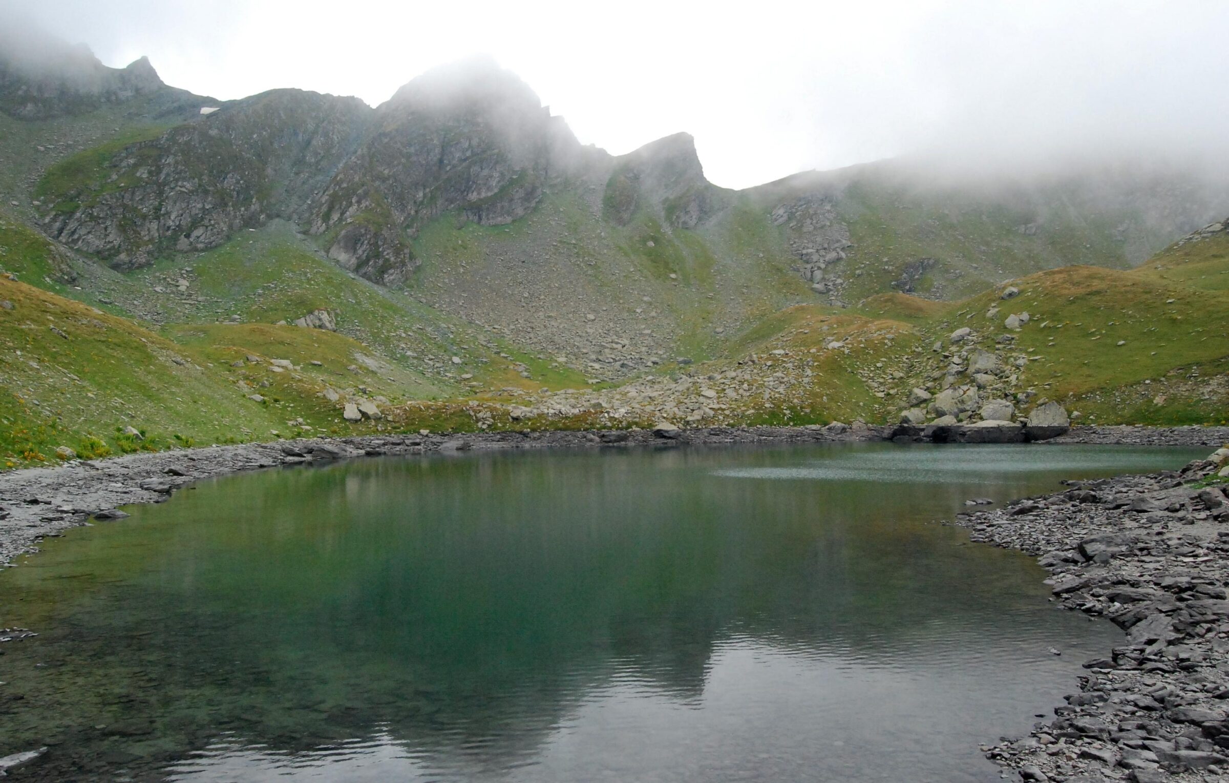
Photo: Fatos_Katallozi · CC BY-SA 3.0
Gjeravica Lake, Đeravičko jezero in Serbian, is a glacial lake just below the summit of Gjeravica, in the Prokletije of Kosovo. One of several lakes high on the mountain, it sits among meadows, with views over the ridges to Albania and Montenegro from the top above.
The lake is the source of the Erenik. Smaller glacial lakes lie nearby, among them Zemra, the Heart Lake.
The usual path follows an old trade route that once linked Albania with Istanbul. Today it is part of the Via Dinarica and the Peaks of the Balkans trail.
No reliable information
The main approaches need a 4×4: about 15 km of unpaved road from Junik to Gropa e Erenikut, or about 17 km through the Deçan valley, past the monastery, ending at mountain huts with free parking. From Gropa e Erenikut the summer loop to the summit passes the lake and takes 6–7 hours, about 13 km with nearly 1,000 m of climbing, so you need good fitness and a sure foot. Guided two-day trips are also offered, camping by the lake and swimming in its icy water.
May to October is the season. A winter ascent needs crampons, an ice axe and mountain experience. There are no cafés on the mountain, so bring food, water and warm layers; beds and meals are in Junik and the nearby villages. National park rules apply.
Photo: Atdhebuja · CC BY-SA 4.0Albania · Albanian Alps · Northern Albania
Glacial · natural
 Photo: Bruno Rijsman · CC BY 2.0
Montenegro · Northern Montenegro · Prokletije
Glacial · natural
 Photo: User:Chlämens · Public domain
Montenegro · Northern Montenegro · Prokletije
Glacial · natural
Suggest a beach, viewpoint, trail or amenity, or tell us if something has changed. We read every message.
Thank you. We read every suggestion.

