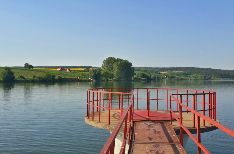
 Photo: Jovancavic · CC BY-SA 4.0
Grabovo is a reservoir south of Vukovar, between the villages of Čakovci, Mikluševci and Grabovo, which gave it its name. It lies in the Tompojevci marshes, a wetland in the Bosut and Sava basin a few kilometres south of the Danube.
How it formed
The lake was made in 1985 by damming the Savak stream, and today it is fed mainly by underground springs. Two earth dams hold it, one on the old Ilača–Vukovar railway embankment and the other on the road from Grabovo to Mikluševci, and its water is used to irrigate the fields around it.
Visit
Getting there
Nearest settlement: Grabovo
Swimming
No reliable information
Tips
The road between Grabovo and Mikluševci runs over one of the dams, so the lake is easy to see from it. It is an irrigation reservoir, so ask locally about fishing and access to the shore.
Nearby lakes
Show on map


Know Grabovo well?
Suggest a beach, viewpoint, trail or amenity, or tell us if something has changed. We read every message.
Sources & data
- Croatian Wikipedia: Grabovo (jezero), Wikimedia Foundation
- Croatia's 2022 Water Framework Directive reporting to the EEA: lake water bodies (SWB, category LW), field cArea, European Environment Agency (WISE WFD), reported by Croatia, 2022
- Wikidata: None (Q114851364), Wikimedia Foundation