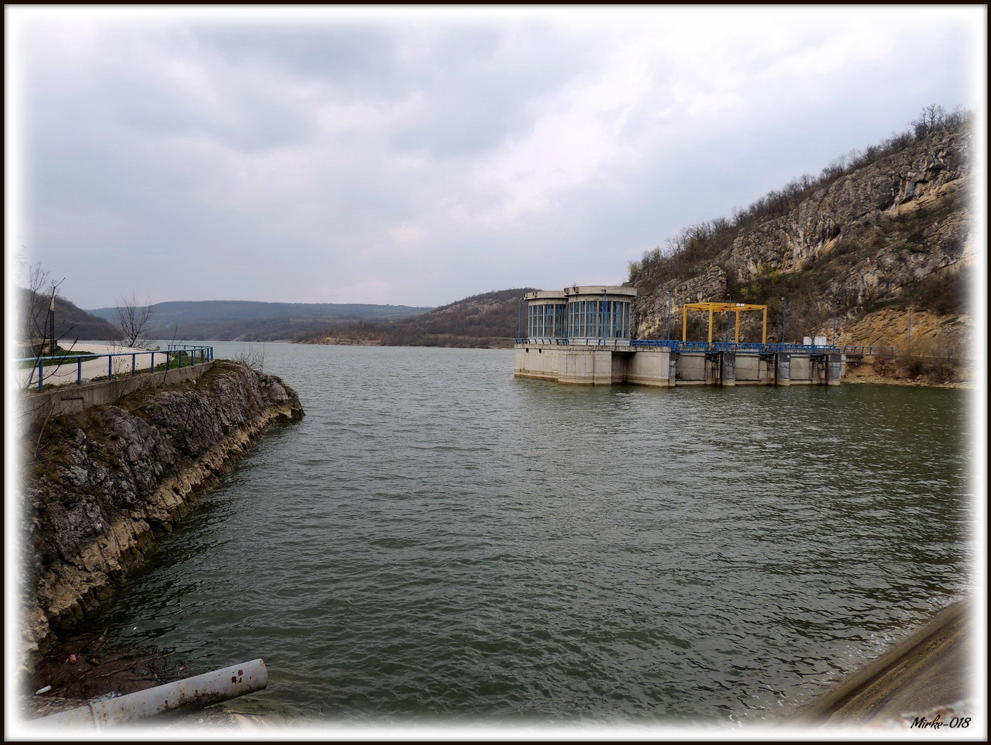
Photo: Mirke-018 · CC BY-SA 4.0
Grlište Lake is a reservoir in a valley between the villages of Grlište and Leskovac near Zaječar, in eastern Serbia, with conifer woods around its very clear water. It is a quiet place, visited mostly by anglers and nature lovers.
How it formed
A dam of about 30 m was built across the Grliška river in 1989, some 4.5 km above its meeting with the Beli Timok. The lake’s main purpose is drinking water for Zaječar; holding back silt and irrigation come second.
Nature
Bream, chub, carp, Prussian carp, rudd, nase and grass carp are among the fish in the lake.
Visit
Getting there
Nearest settlement: Zaječar
Swimming
No reliable information
Tips
The lake can be reached from Leskovac or Grlište. A paved road runs to the dam and then turns to dirt. Because it is a drinking-water source, boats are not allowed and there are no tourist facilities, though there are some small houses and places to camp. Fishing is possible.
The Monastery of the Holy Apostles Peter and Paul is nearby, close to Grlište village. Rgotsko and Slatinac lakes are also in the Zaječar area, and the Roman palace of Felix Romuliana at Gamzigrad, a UNESCO World Heritage Site, is about 10 km west of the town.
Nearby lakes
Show on map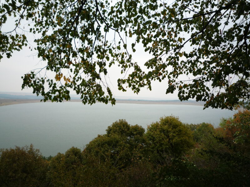
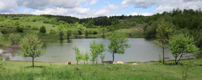


Know Grlište Lake well?
Suggest a beach, viewpoint, trail or amenity, or tell us if something has changed. We read every message.
Sources & data
- Wikidata: Grlište Lake (Q16084324), Wikimedia Foundation
- OpenStreetMap: Грлишко језеро (way 238260486), OpenStreetMap contributors
- Serbian Wikipedia: Грлишко језеро, Wikimedia Foundation
- Lake Grliško is a paradise for fishers, Telegraf
- Grlište Lake, Aroundus
- Wikipedia: Gamzigrad, Wikimedia Foundation