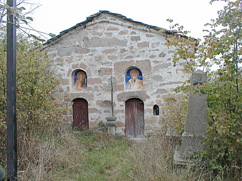
 Photo: Vitek · CC BY-SA 3.0
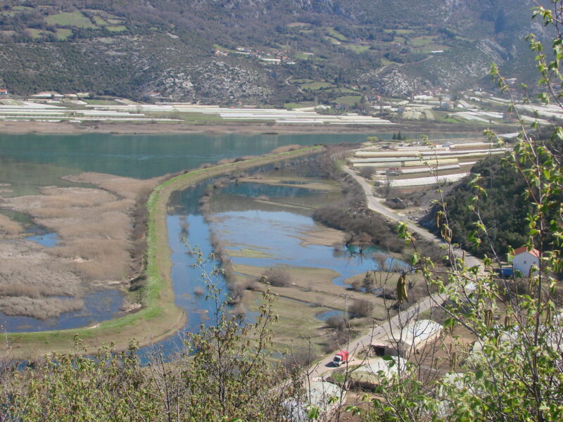
A lake of Hutovo Blato next to the much larger Deransko jezero; the lakes of the reserve are linked by canals and gorges.
How it formed
Jelim is one of the small lakes of the Upper Marsh linked to the Krupa, with Škrka, Deranja, Orah and Drijen. Karst springs feed the marsh through the limestone.
Nature
Hutovo Blato lies on the migration route from northern and central Europe to Asia and Africa, and it is one of Europe’s largest wintering grounds for birds, with tens of thousands gathering in winter. Pygmy cormorants, squacco, purple and night herons, ferruginous ducks, whiskered terns and white storks are among the birds to look for, and a trout, Salmo dentex, lives in the marshes and the Krupa.
Visit
Swimming
No reliable information
Tips
The lake is seen on the park’s boat safaris from the visitor centre at Karaotok; spring and autumn migration are the best times for birds.
From Sarajevo or Mostar, take a train or bus to Čapljina and a taxi to the park, or drive: it is signposted from the M-17 road. The park rents boats, canoes and bicycles and offers guided tours in English, and narrow, easy trails and at least one bird hide let you explore on foot. Bring binoculars; a telescope helps.
Nearby lakes
Show on mapPhoto: Vitek · CC BY-SA 3.0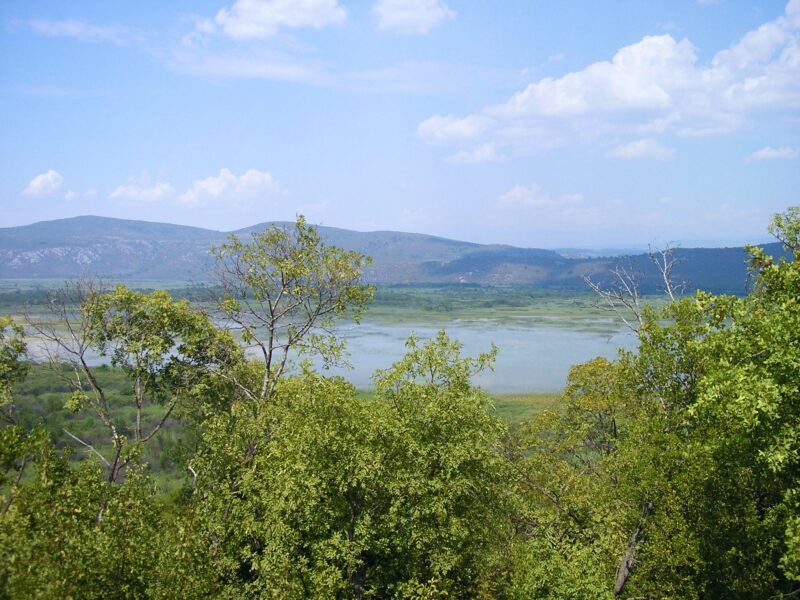


Know Jelim well?
Suggest a beach, viewpoint, trail or amenity, or tell us if something has changed. We read every message.
Sources & data
- OpenStreetMap: Jelim (way 39342714), OpenStreetMap contributors
- English Wikipedia: Jelim Lake, Wikimedia Foundation
- Wikidata: Jelim Lake (Q21728846), Wikimedia Foundation
- Ramsar Information Sheet: Hutovo Blato (BA1105), Ramsar Convention Secretariat (Ramsar Sites Information Service)
- English Wikipedia: Hutovo Blato, Wikimedia Foundation
- Hutovo Blato, Birdingplaces.eu