
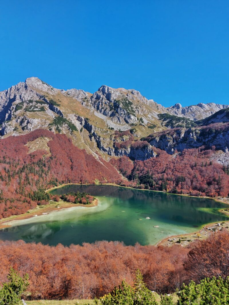
 Photo: Draganandj · CC BY-SA 4.0

Montenegro · Durmitor · Northern Montenegro
Trnovačko Lake
Glacial · natural
~14 kmaway
1,517 metreselevation
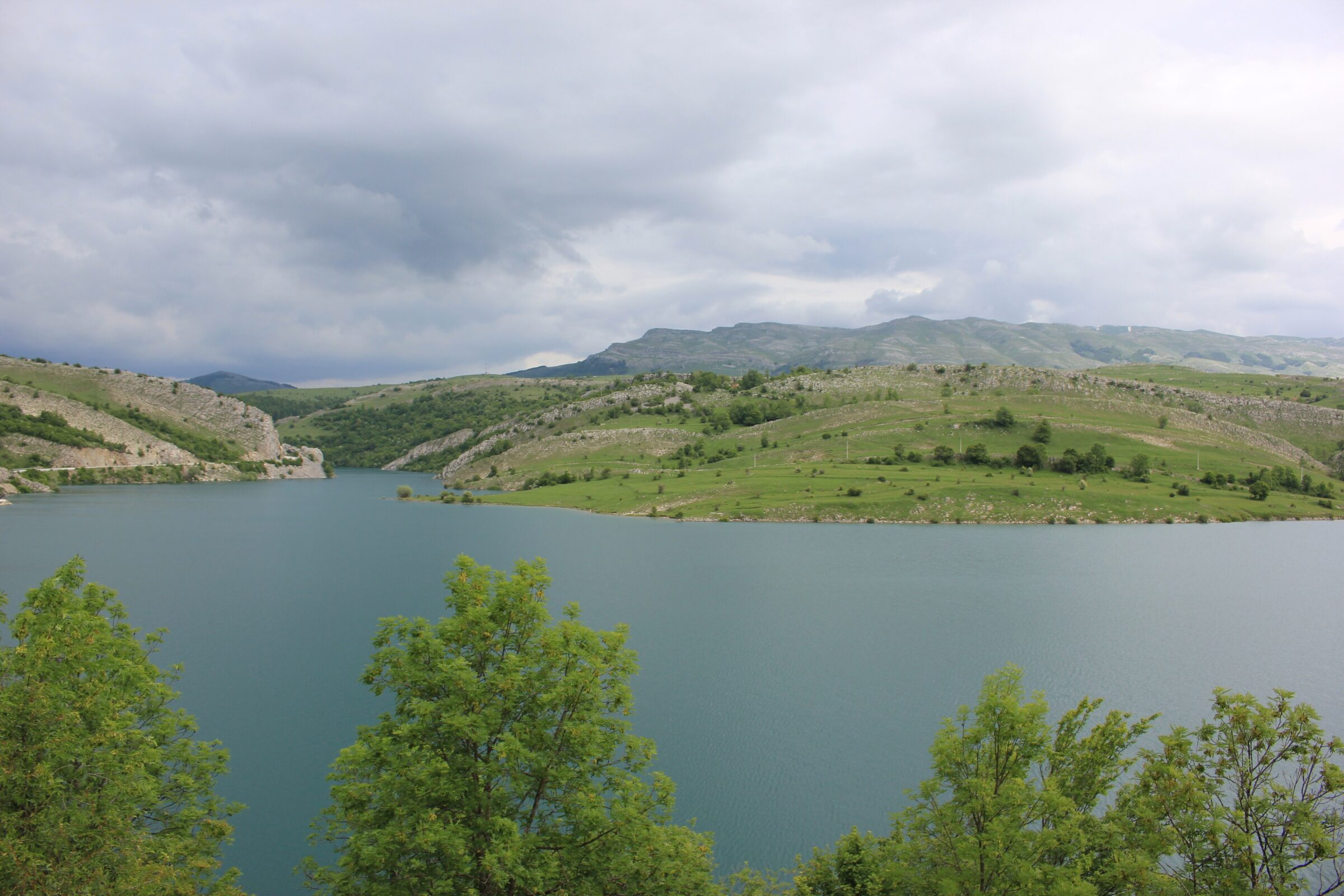
Photo: Julian Nyča · CC BY-SA 3.0
Klinje is a small old reservoir near Gacko in Herzegovina, below Mount Lebršnik, on the road between Gacko and Foča. Built under Austria-Hungary to water the Gacko field, it was the first reservoir in Bosnia and Herzegovina, and it is one of the highest. Locals call it Donje jezero, the Lower Lake.
The lake was built between 1891 and 1896. Its arched dam of Gacko stone, set with volcanic ash brought from Vesuvius, is called the oldest arch dam in the Balkans and is now a protected monument. The name comes from klin, a wedge, for the way the lake is wedged into the landscape.
Nearest settlement: Gacko
No reliable information
The lake is a favourite summer outing, with a well-kept beach, a floating dock, shaded picnic tables and fishing; in winter it freezes into a popular ice rink.
The lake lies on the Via Dinarica White Trail. Nearby, an 830 m via ferrata climbs Kuk on Lebršnik, best from July to October, and Sutjeska National Park with Maglić and the Perućica forest is close.
Photo: Draganandj · CC BY-SA 4.0Montenegro · Durmitor · Northern Montenegro
Glacial · natural
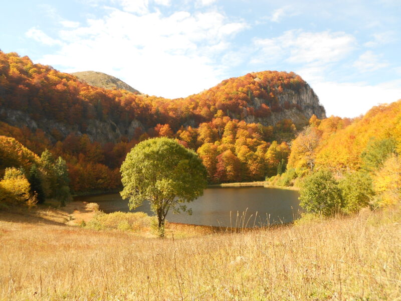 Photo: Vojkan wiki RS · CC BY-SA 4.0
Suggest a beach, viewpoint, trail or amenity, or tell us if something has changed. We read every message.
Thank you. We read every suggestion.
