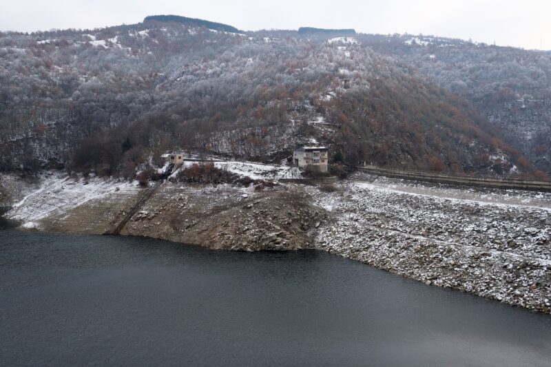
 Photo: kallerna · CC BY-SA 4.0
Kneževsko ezero is a reservoir on the upper Zletovica, about 80 km east of Skopje, near Kratovo and Probištip. It is the heart of the Zletovica regional water scheme.
How it formed
The Kneževo dam, a rock-fill dam about 75 m high, was built in the 2000s and 2010s with Japanese development funding, to end seasonal water shortages in the region. It supplies Kratovo, Probištip, Zletovo, Sveti Nikole, Lozovo, Karbinci and Štip.
Visit
Swimming
No reliable information
Tips
This is a working drinking-water reservoir, not a resort, so ask in Kratovo or Probištip about access to the shore before you go, and do not count on swimming or fishing.
Nearby lakes
Show on mapPhoto: kallerna · CC BY-SA 4.0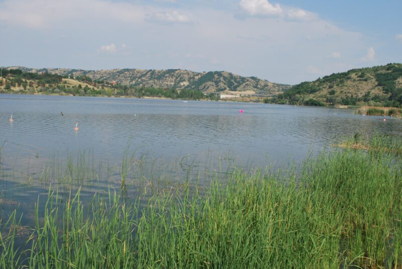


Know Kneževsko Ezero well?
Suggest a beach, viewpoint, trail or amenity, or tell us if something has changed. We read every message.
Sources & data
- OpenStreetMap: Кнежевско Езеро (way 182039253), OpenStreetMap contributors
- Securing water supply in Macedonia, OC Global