
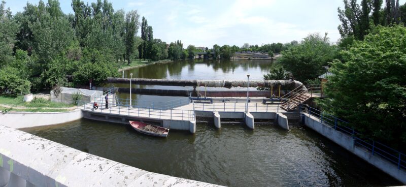
 Photo: Miehs at Romanian Wikipedia · Public domain
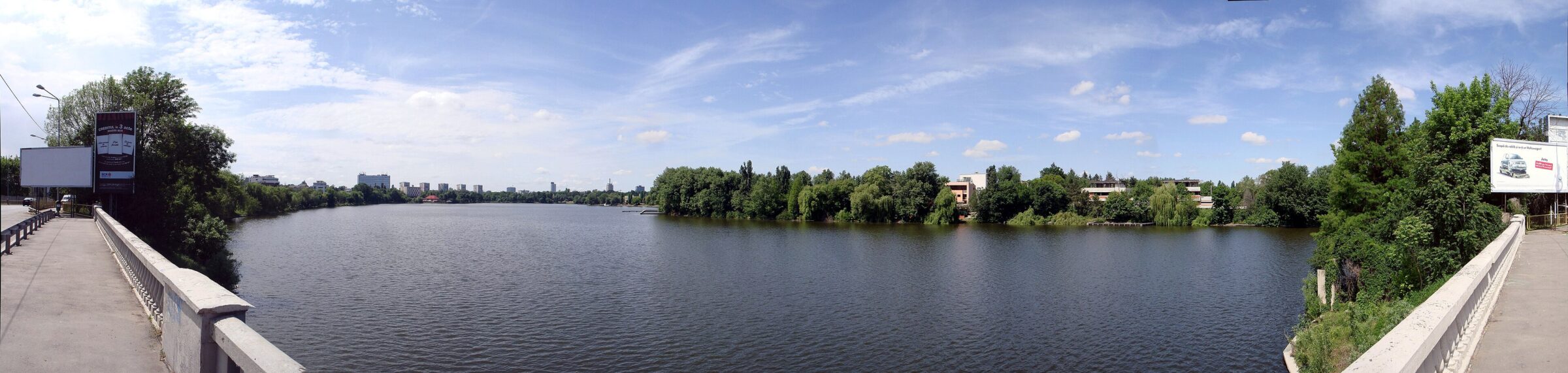
Photo: Miehs at Romanian Wikipedia · Public domain
An artificial lake in northern Bucharest on the Colentina, between Herăstrău upstream and Tei downstream.
How it formed
The lake was created by the Colentina works of 1932–1937, under King Carol II and the engineer Nicolae Caranfil, which also made Băneasa and Herăstrău. It is about 3 km long and 100–800 m wide, and shallow, at 1–5 m. A lock links it upstream to Herăstrău, and a dam separates it from Tei downstream.
History
Eight old lidos stand abandoned along its shores, more than on any other lake of the Colentina chain.
Visit
Getting there
Nearest settlement: Bucharest
Swimming
No reliable information
Tips
Floreasca is quieter than Herăstrău. There is no regular boat hire, and water activities appear only occasionally, with operators or events. The Herăstrău promenade links with it, and the Calea Floreasca bridge gives a view over the lake. Fishing rights are held in two sections, so ask before you fish.
Nearby lakes
Show on mapPhoto: Miehs at Romanian Wikipedia · Public domain
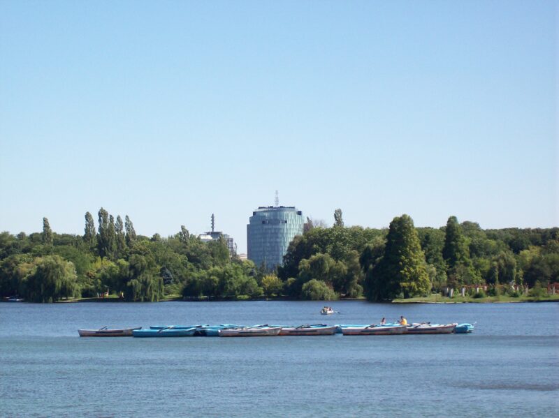 Photo: Al at Dutch Wikipedia · Public domain

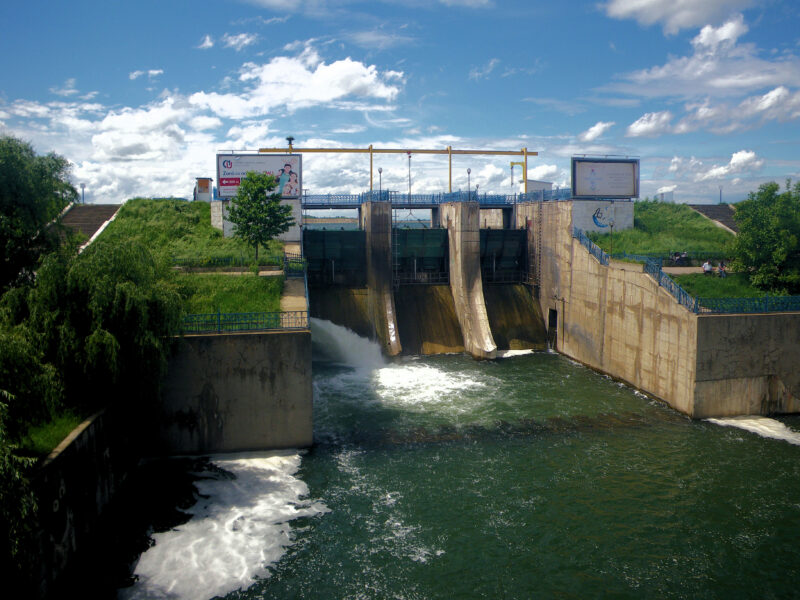 Photo: CristianChirita · CC BY-SA 3.0

Know Lacul Floreasca well?
Suggest a beach, viewpoint, trail or amenity, or tell us if something has changed. We read every message.
Sources & data
- Bucharest city council documents on Herăstrău (77 ha at normal retention level) and Floreasca (70 ha), Primăria Municipiului București
- OpenStreetMap: Lacul Floreasca (way 983903953), OpenStreetMap contributors
- Wikidata: Lake Floreasca (Q3214882), Wikimedia Foundation
- English Wikipedia: Lake Floreasca, Wikimedia Foundation
- Romanian Wikipedia: Lacul Floreasca, Wikimedia Foundation
- Where you can go boating in Bucharest, Bucharest City Hall