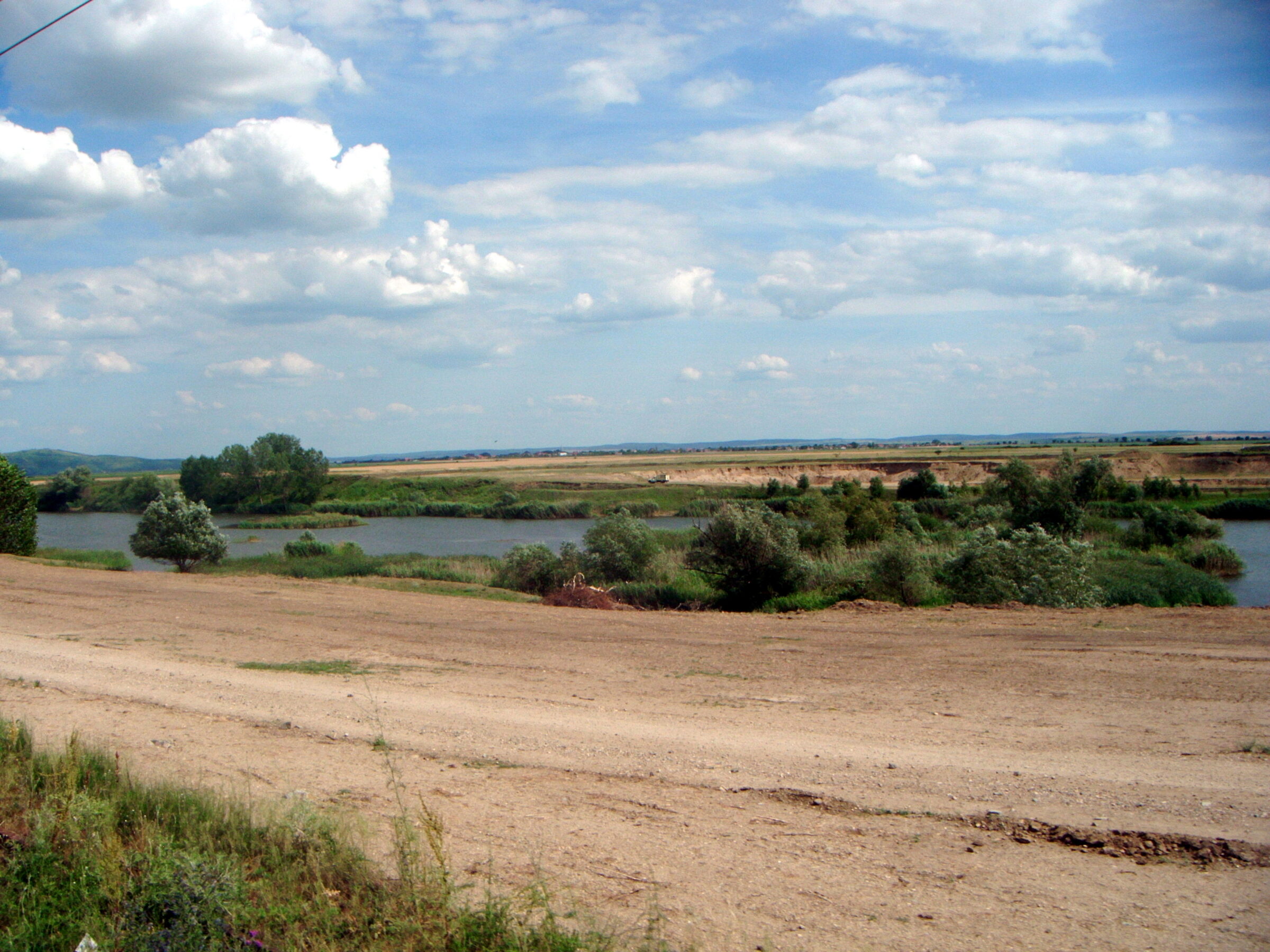
Photo: Daniel Șuteu · CC BY 3.0
Lake Ghioroc is a former gravel pit in the lower Mureș floodplain at the foot of the Zărand Mountains, about 22 km from Arad and 80 km from Timișoara. It is the main summer bathing place for Arad, with a landscaped sandy beach.
History
Gravel for Romania’s building boom was dug here from the 1960s until the 1980s, and the pit gradually filled with water. It opened to visitors in the early 1990s, was closed for a time over pollution from the mining and later use, and then was cleaned up, given a beach of local sand and stocked with fish.
Visit
Getting there
Nearest settlement: Arad
Swimming
No reliable information
Tips
The lake lies beside the road from Sâmbăteni to Ghioroc and the Arad–Bucharest railway. Beside the beach are restaurants, shops, camping and parking, and windsurfing and diving are popular. Fishing is allowed from any point on the lake all year, except in the closed period, for carp, crucian carp, catfish, rudd, roach and bream. Free access to the shore is shrinking as land is sold, so the beach is the simplest way in.
Nearby lakes
Show on map


Know Lacul Ghioroc well?
Suggest a beach, viewpoint, trail or amenity, or tell us if something has changed. We read every message.
Sources & data
- Romania's 2022 Water Framework Directive reporting to the EEA: lake (LW) and transitional (TW) water bodies, field cArea, European Environment Agency (WISE WFD), reported by Romania, 2022
- OpenStreetMap: None (relation 4021635), OpenStreetMap contributors
- The Ghioroc Lake, CNIPT Arad
- Wikipedia: Lake Ghioroc, Wikimedia Foundation