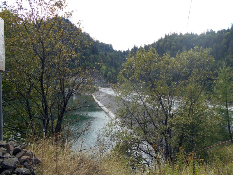
 Photo: Miehs · CC BY-SA 4.0
Lala Mare is the largest glacial lake in the Rodna Mountains, about 0.6 ha and only about 2 m deep, below Ineu peak at about 1,815 m. It feeds the Lala river, a tributary of the Bistrița, and it lies within the Ineu–Lala reserve.
Visit
Swimming
No reliable information
Tips
The blue-dot trail from Gura Lalei is the route to the glacial lakes Lala Mare and Lala Mică: about 12 km to Șaua cu Lac, 4.5–6 hours, with about 1,170 m of climbing. A short red-marked link of about 30 minutes joins the lake to Șaua Gajei on the main ridge, which is also reached on the red-band path from Rotunda Pass, on a dirt road beyond Valea Mare.
Lala Mică is the only place where camping is allowed in the reserve. The upper part of the route is inaccessible in winter, so check conditions with the national park administration.
Nearby lakes
Show on mapPhoto: Miehs · CC BY-SA 4.0
Know Lacul Lala Mare well?
Suggest a beach, viewpoint, trail or amenity, or tell us if something has changed. We read every message.
Sources & data
- Romania's 2022 Water Framework Directive reporting to the EEA: lake (LW) and transitional (TW) water bodies, field cArea, European Environment Agency (WISE WFD), reported by Romania, 2022
- OpenStreetMap: Lacul Lala Mare (way 42345282), OpenStreetMap contributors
- Romanian Wikipedia: Lacul Lala Mare, Wikimedia Foundation
- Gura Lalei – Lacul Lala Mare – Șaua cu Lac, Munții Noștri
- Lacul Lala Mare – Șaua Gajei, Munții Noștri