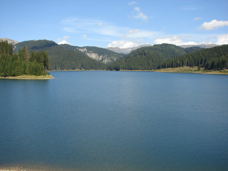
 Photo: Novichok · CC BY-SA 3.0
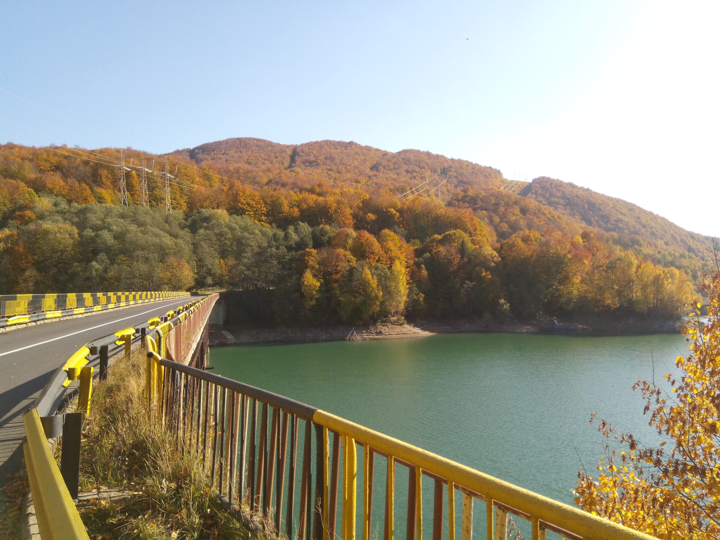
Photo: Sîmbotin · CC BY-SA 4.0
Lacul Paltinu is a reservoir on the Doftana in Prahova County, behind a 108 m dam just before the village of Valea Doftanei.
How it formed
The lake is an important source of drinking and industrial water for Câmpina and the surrounding towns. Heavy rain in late 2025 raised its level by about 12 m and made the water so turbid that over 100,000 people were left without supply.
Visit
Swimming
No reliable information
Tips
A winding road climbs to the dam and on to the lake, with hiking, cycling and off-road tours in the valley beyond, and local smoked cheeses to try. Cycling loops run to the dam from Câmpinița. Ask locally about access to the shore, as this is a drinking-water source.
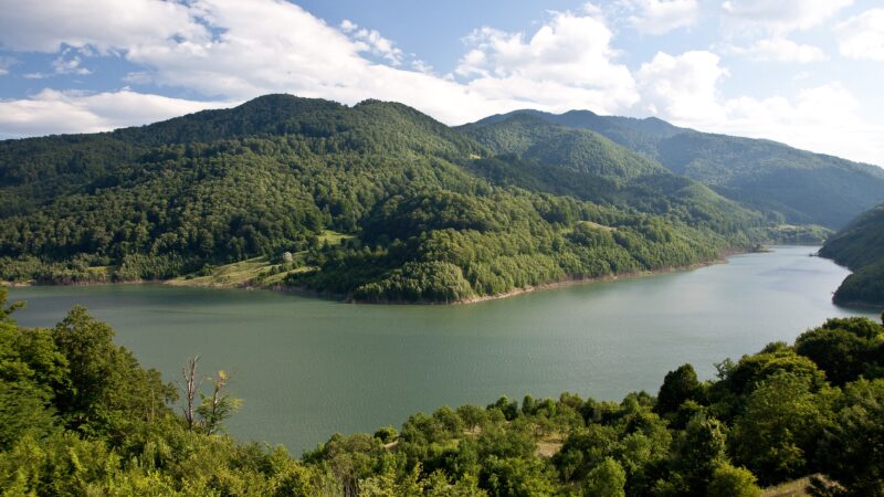
Nearby lakes
Show on map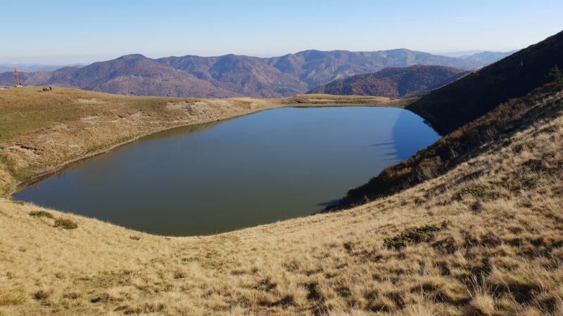


Know Lacul Paltinu well?
Suggest a beach, viewpoint, trail or amenity, or tell us if something has changed. We read every message.
Sources & data
- Romania's 2022 Water Framework Directive reporting to the EEA: lake (LW) and transitional (TW) water bodies, field cArea, European Environment Agency (WISE WFD), reported by Romania, 2022
- OpenStreetMap: Lacul Paltinu (relation 17905494), OpenStreetMap contributors
- Travel planner: Valea Doftanei and Lake Paltinu, Romania Insider
- Wikipedia: Valea Doftanei, Wikimedia Foundation
- 100,000 people without drinking water (2025), Știripesurse