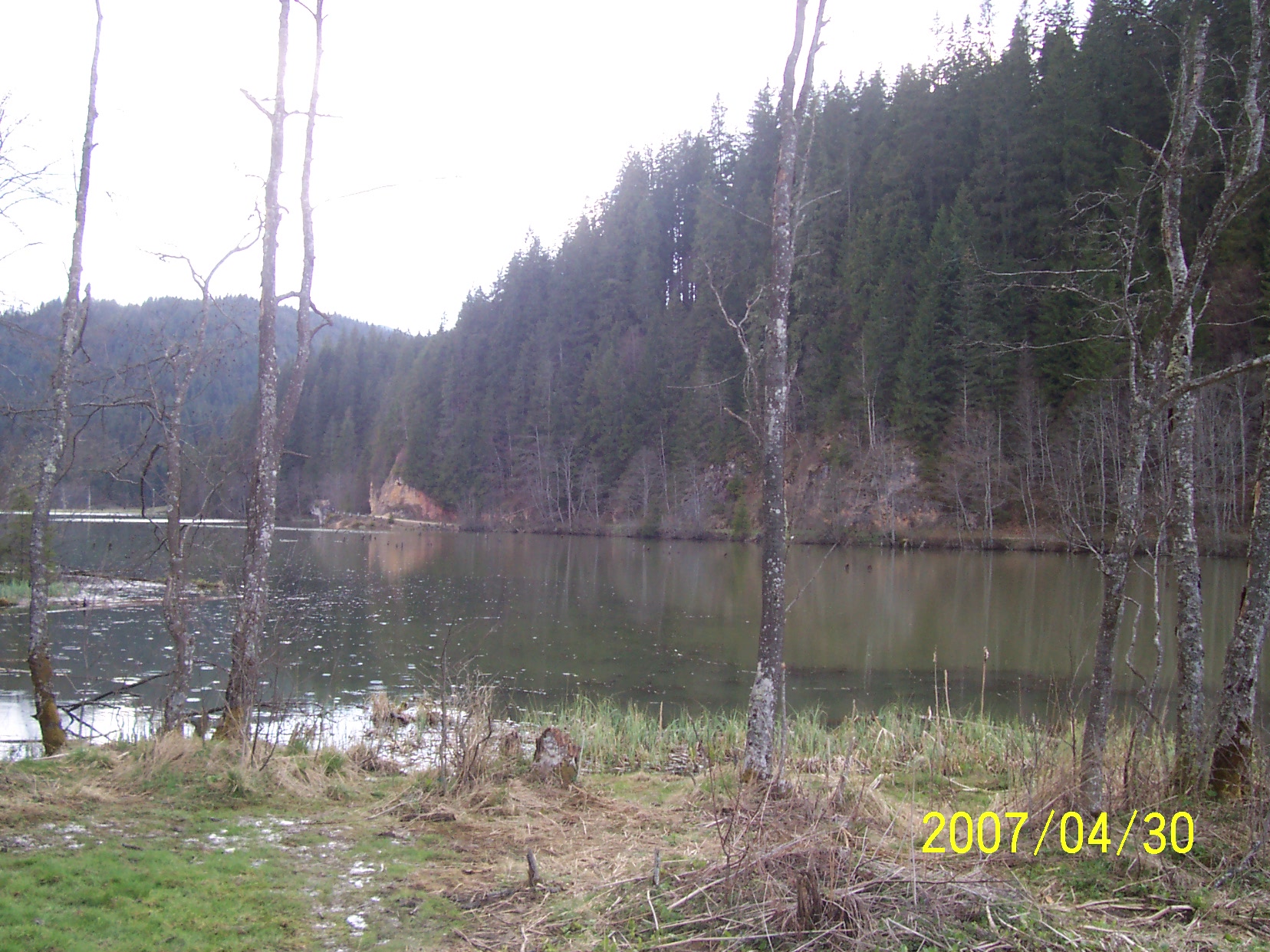
Photo: T Misi · CC BY-SA 3.0
Romania · Eastern Carpathians
Lacul Roșu (Eastern Carpathians)
Gyilkos-tó · Lacul Roșu
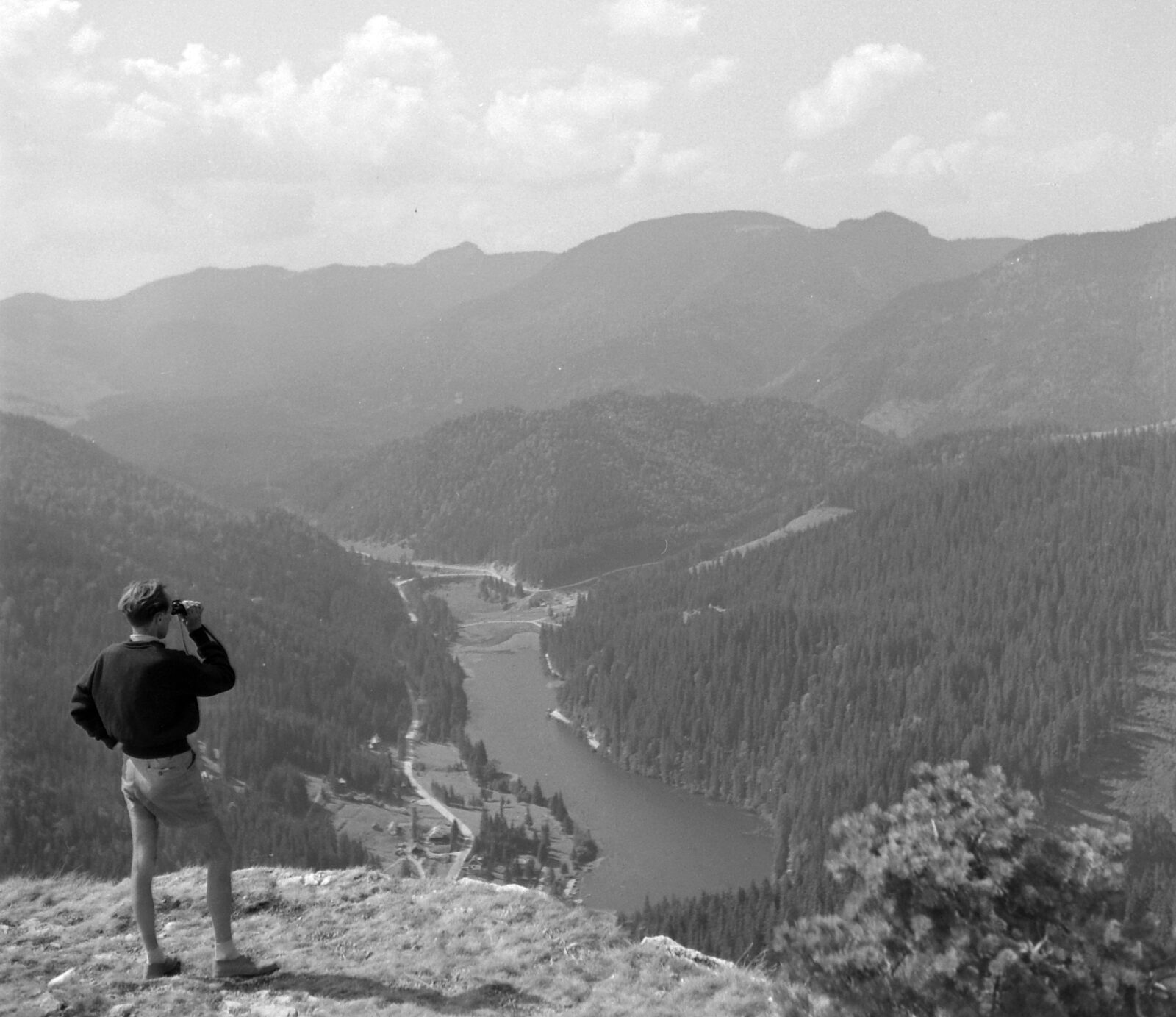
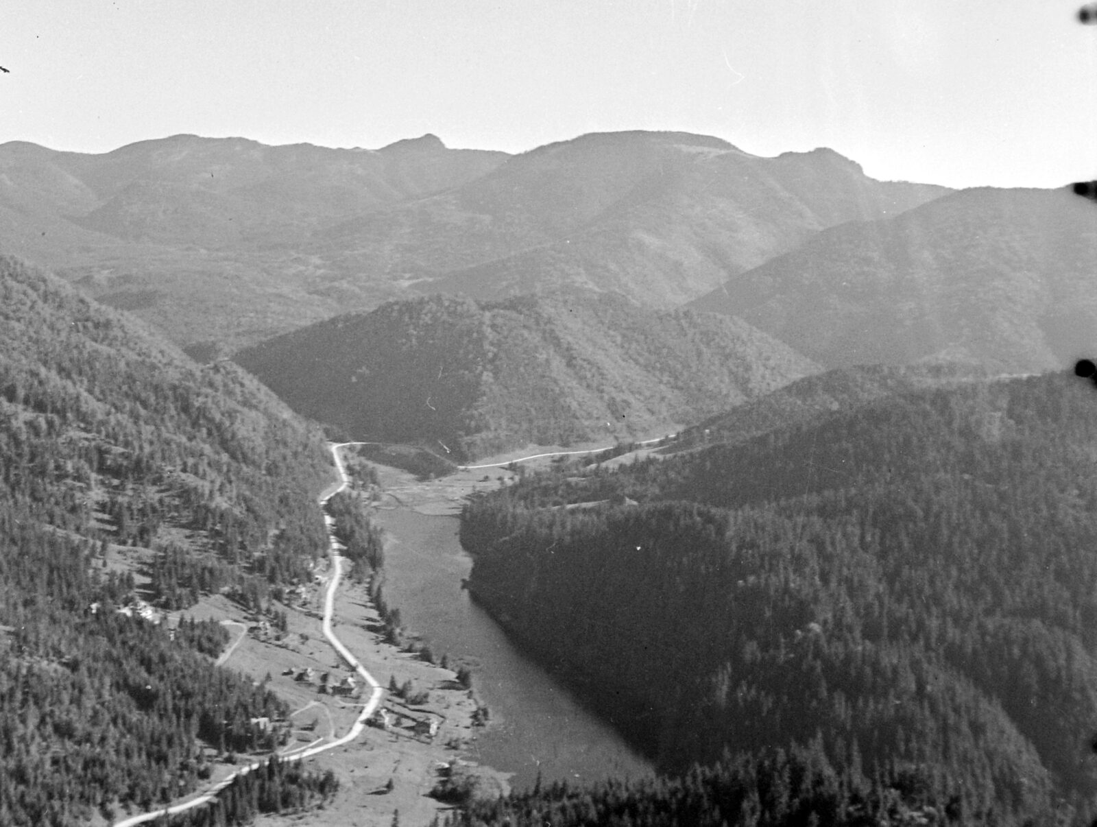
Lacul Roșu, the Red Lake, is a natural dam lake in Harghita County in the Eastern Carpathians. It lies in the Hășmaș Mountains on the upper course of the Bicaz river, at the foot of the Hășmașul Mare peak and near the Bicaz Gorge, between the towns of Gheorgheni and Bicaz. It is a young lake: a landslide dammed the river less than two centuries ago.
How it formed
The lake formed when a slope collapsed because of the earthquake of 23 January 1838 and the landslide blocked the course of the Bicaz river, so that water gathered behind it. The conditions and the date of its formation have been much discussed. According to Franz Herbich it formed in 1838, which the earthquake supports, while another year proposed is 1837, when there were very violent storms and heavy rains.
Four large streams and many temporary watercourses feed the lake, among them the Vereșchiu, Licaș, Suhardul and Pârâul Oii, and the Bicaz river flows out of it towards the Bicaz Gorge.
History
The lake is young, but it already has a legend.
The legend of the Red Lake
One local legend says the landslide that formed the lake destroyed an entire village, and that the water that gathered was reddened by the blood of the villagers. Writers on the lakes of the Bicaz area note that the legends are told only in vague fragments, and that the old name Lacul Ucigașilor (the Killers' Lake) has no clearly matching story.
Nature
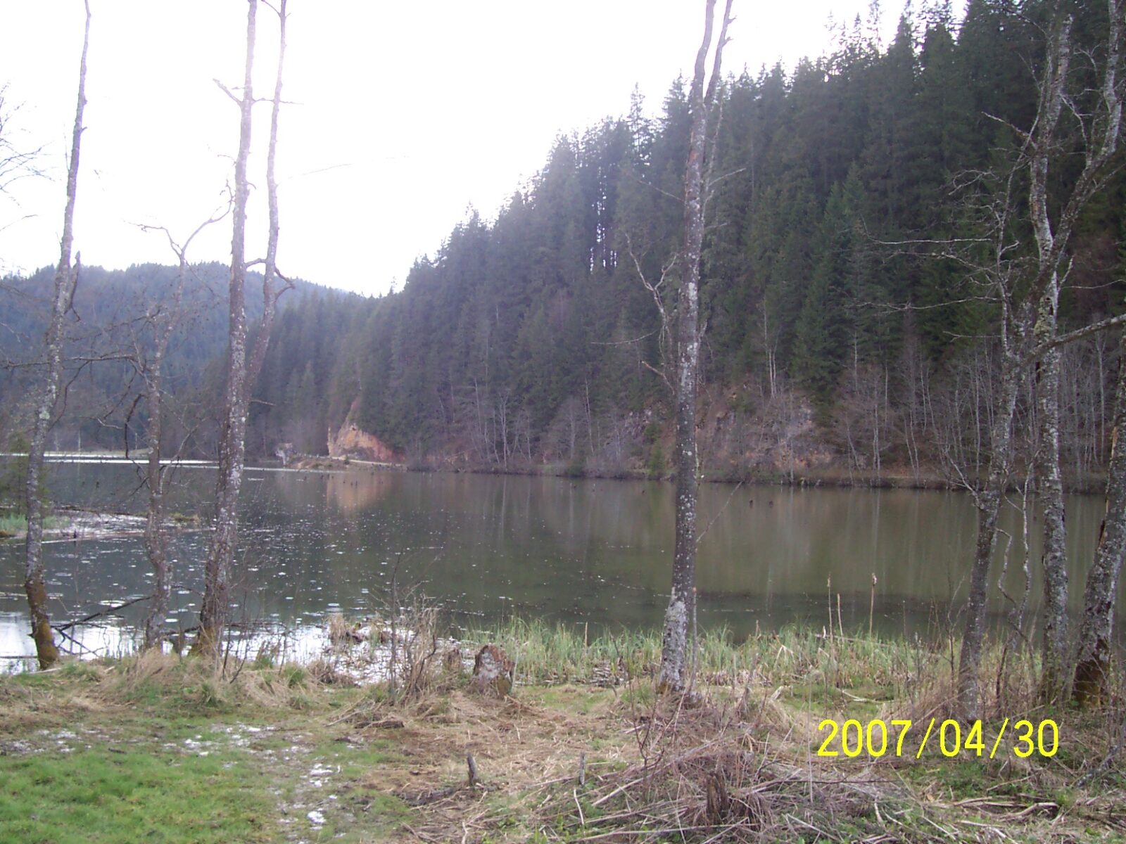
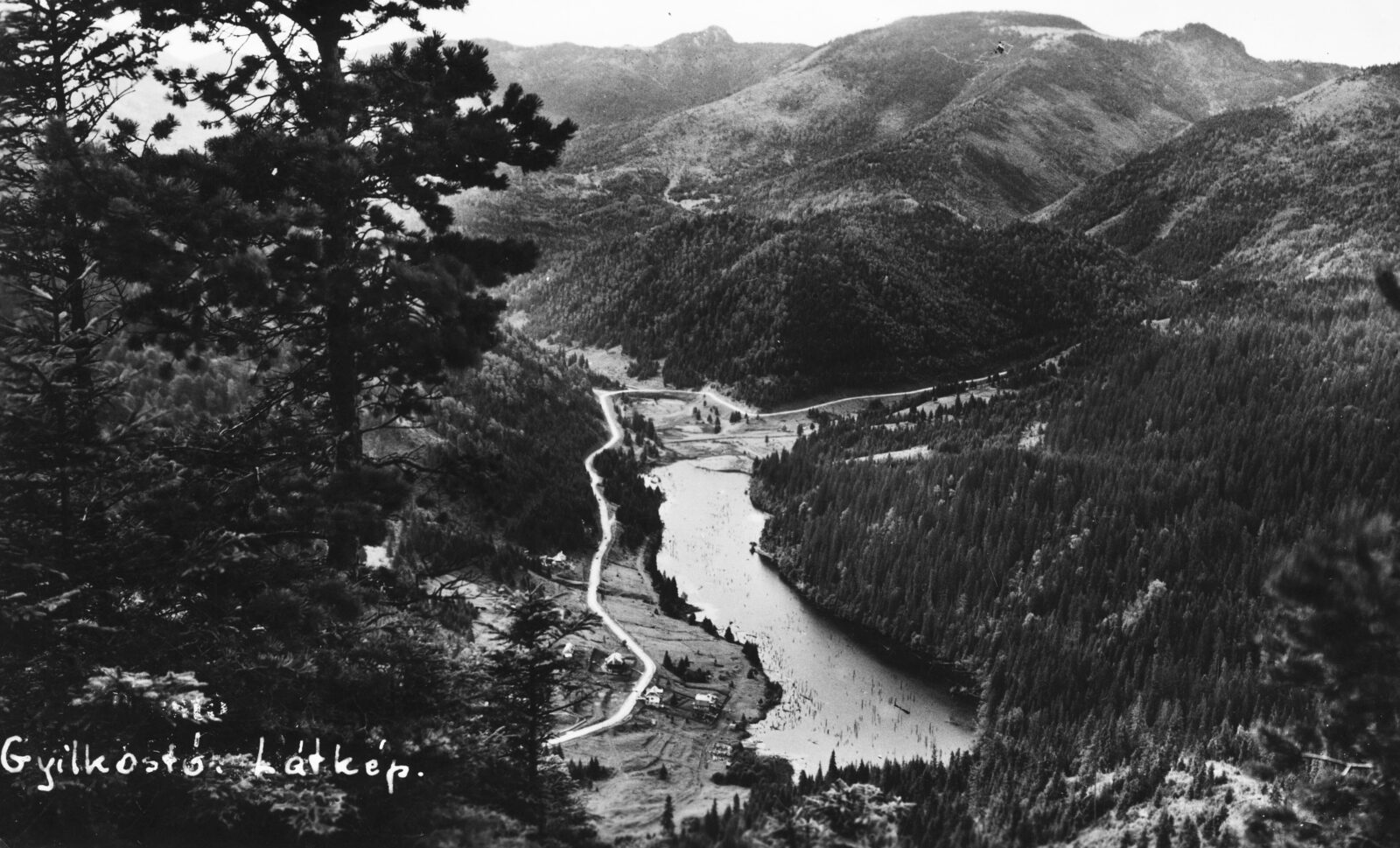
Dead trunks still stand in its water, the remains of the conifer forest drowned when the valley was blocked. Divers find many of them still upright, and a large amount of plant debris has built up on the flat bottom in the middle of the lake.
The reddish colour comes from clays rich in iron oxide, carried in by Red Creek. The same streams also bring silt, and the surface shrinks every year; it measured about 11.5 ha in 1987. The lake and the Bicaz Gorge lie in the Cheile Bicazului-Hășmaș National Park, and a marked trail from the shore leads to a trout farm.
Gallery
Visit
Getting there
Nearest settlement: Gheorgheni
Swimming
No reliable information
Tips
The lake lies between the peaks Suhardul Mic and Suhardul Mare to the north and the Podu Calului mountains to the south-west, with Muntele Ucigaș, the Killer Mountain, to the east. Its position near the Bicaz Gorge makes it a natural stop on a trip through the Hășmaș Mountains.
Getting there and walking
From Gheorgheni take the national road DN12C towards Piatra Neamț; after the lake and a tunnel you enter the Bicaz Gorge. Several marked trails start at the lake, to the Bicaz Gorge, Suhardul Mic, Piatra Altarului and Piatra Chilcoș. The route to the gorge is moderate, 3.8 km and about 1.5–2 hours, and a loop of about 10.8 km takes some five hours. Piatra Altarului is a limestone peak with a cross on top and climbing routes. The area is a national park, so follow its rules.
When to go
Late spring to early autumn (May to October) is the best time, with mild weather and open trails.
Nearby lakes
Show on map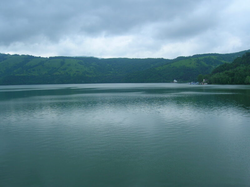


Know Lacul Roșu (Eastern Carpathians) well?
Suggest a beach, viewpoint, trail or amenity, or tell us if something has changed. We read every message.
Sources & data
- Romania's 2022 Water Framework Directive reporting to the EEA: lake (LW) and transitional (TW) water bodies, field cArea, European Environment Agency (WISE WFD), reported by Romania, 2022
- OpenStreetMap: Lacul Roșu (way 53045907), OpenStreetMap contributors
- Wikidata: Red Lake (Q1029508), Wikimedia Foundation
- English Wikipedia: Red Lake (Romania), Wikimedia Foundation
- De ce merită vizitat Lacul Roșu: legenda, BZI
- Lacu Roșu: Șaua Tifrea, Cheile Bicazului, Munții Noștri
- Red Lake, Visit Harghita
- Wikipedia: Lacul Roșu, Wikimedia Foundation
- The Red Lake, Surprising Romania
- Lacu Roșu – Păstrăvărie – Lacu Roșu, Munții Noștri