 Photo: Alexandru Panoiu · CC BY 2.0
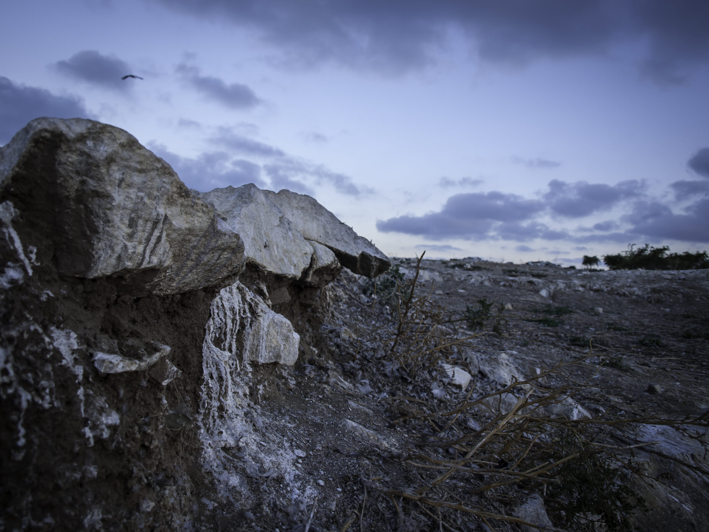
Photo: Postoiu Roxana · CC BY-SA 4.0
Lake Tașaul is a coastal lake of about 23 km² in Constanța County, south of Cape Midia and north of Năvodari and Sibioara. It lies at the end of the Casimcea valley, with steep limestone shores on most sides and a sandbank on the east.
How it formed
A former sea inlet, closed off by sediment, it became a freshwater lake in the 1920s. The Casimcea keeps its level about 1 m above the sea. The lake is up to about 5 m deep, and it is rich in nutrients and phytoplankton.
Nature
This is an Important Bird Area, a stopover and refuge for migrating waterbirds that shelter in its reed beds on the way to and from the Danube Delta. The land around it is hilly steppe with sheep pasture and cereals. Two islands lie in the lake, Ada, of about 30 ha, and the smaller Ostrov.
Visit
Getting there
Nearest settlement: Năvodari
Swimming
No reliable information
Tips
Năvodari is the nearest town, with Mamaia just south of it. Ask locally about access to the shore and boats, as much of the shore is steep.
Nearby lakes
Show on map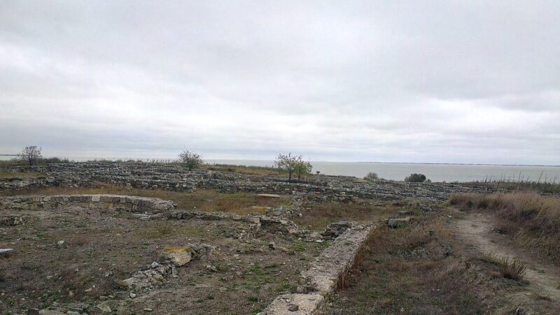


Know Lacul Tașaul well?
Suggest a beach, viewpoint, trail or amenity, or tell us if something has changed. We read every message.
Sources & data
- Romania's 2022 Water Framework Directive reporting to the EEA: lake (LW) and transitional (TW) water bodies, field cArea, European Environment Agency (WISE WFD), reported by Romania, 2022
- OpenStreetMap: Lacul Tașaul (relation 1308628), OpenStreetMap contributors
- Romanian Wikipedia: Limanul Tașaul, Wikimedia Foundation
- Wikipedia: Lake Tașaul, Wikimedia Foundation