Lake Oașa is a reservoir of about 4.5 km² on the Sebeș in the Oașa gorge, in the Șureanu Mountains, where Alba and Sibiu counties meet. At about 1,255 m and about 6 km long, it is the largest of the reservoirs on the Sebeș.
How it formed
The dam, put into service in 1979, is 91 m high and 300 m along the crest. It is built of rockfill with a concrete facing, as the local gravel was unsuitable for an arch dam. The Ciban river is diverted into the lake, and pumps bring in water from the Cugirul Mare for the Gâlceag underground power plant.
Visit
Swimming
No reliable information
Tips
The lake lies on the Transalpina (DN67C). The high sections are open only in the warm months, roughly July to October, so check the road before setting out. A marked red-cross trail links the lake with Oașa Monastery, about 5 km from the dam, and the Șureanu hut.
Nearby lakes
Show on map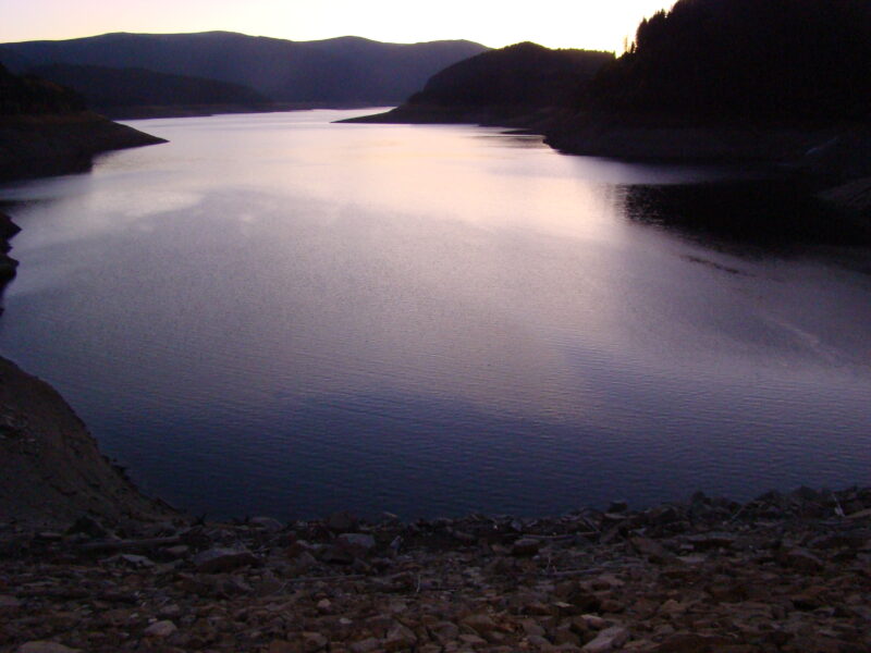



Know Lake Oașa well?
Suggest a beach, viewpoint, trail or amenity, or tell us if something has changed. We read every message.
Sources & data
- Romania's 2022 Water Framework Directive reporting to the EEA: lake (LW) and transitional (TW) water bodies, field cArea, European Environment Agency (WISE WFD), reported by Romania, 2022
- OpenStreetMap: Lacul Oașa (relation 6561207), OpenStreetMap contributors
- Lacul Oașa, Munții Șureanu, BZI
- Întâlnirea coloniștilor de pe Valea Sebeșului, Alba24