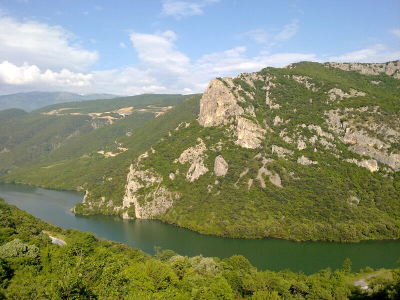
 Photo: Sakistriantafyllou · CC BY-SA 3.0
Lake Sfikia is an artificial lake on the Aliakmonas, between Vermio and the Pieria mountains in Imathia, about 4.3 km² in area. High wooded slopes surround it, falling in places to green hills and small plains, and the shores are shaded by dense plane trees and dotted with old stone huts once used as winter shelters.
How it formed
The dam and its hydroelectric station, opened in 1985, form part of the chain of works on the Aliakmonas. Water can be pumped back up here, so the station also stores energy.
Visit
Swimming
No reliable information
Tips
Sfikia village is about 29 km from Veria, Rizomata 36 km and Daskio 43 km. The road climbs from Sfikia through fir, beech, oak and plane, along the old crossing between Upper and Lower Macedonia, and from Daskio signs lead to the lake, on a road that soon turns to dirt.
You can take a boat on the blue water, picnic under the plane trees and cycle along the shore, and a small harbour serves anglers after local grivadi and perch. Near Rizomata a 5 km trail leads to picnic places and small waterfalls at Dermata. Rizomata and Sfikia have taverns known for local meat dishes.
Nearby lakes
Show on map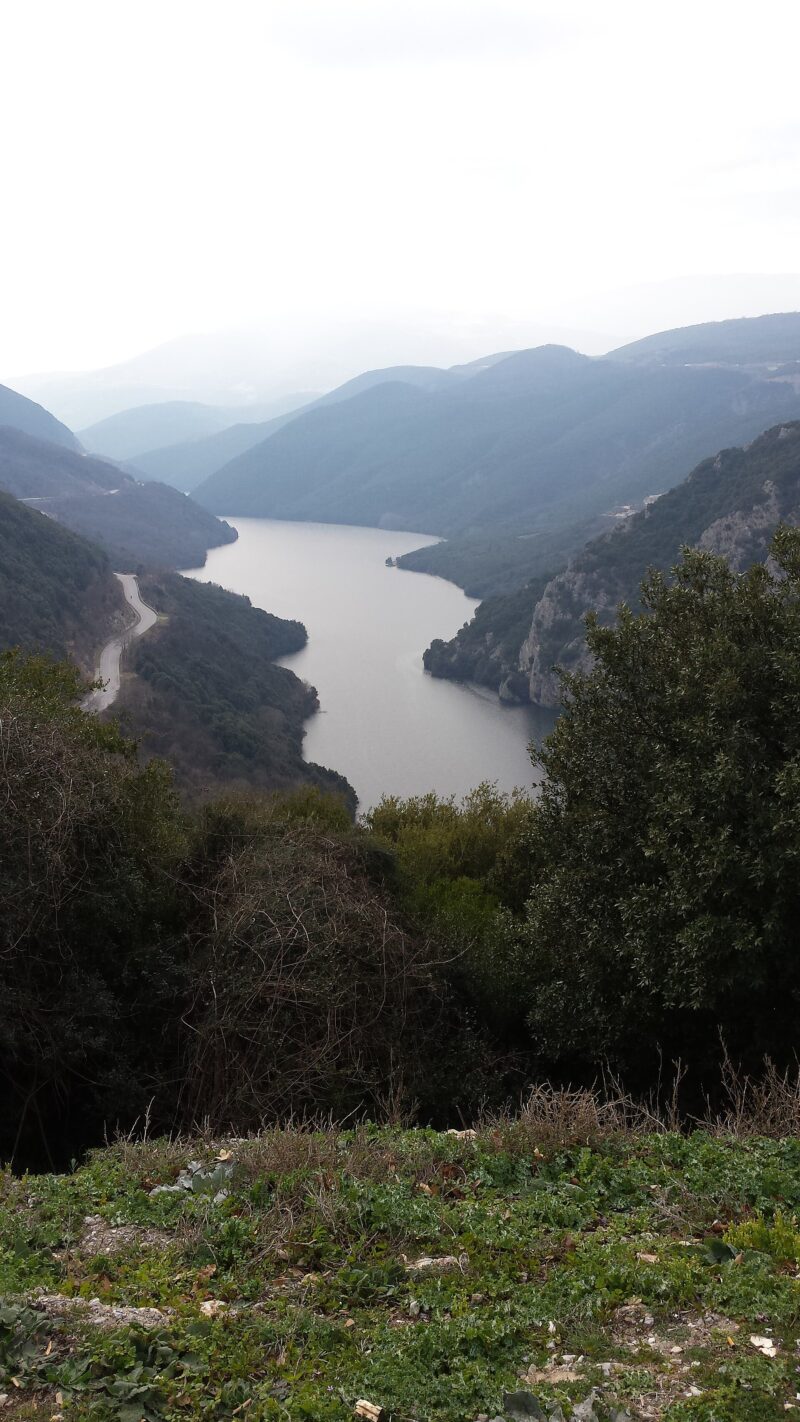


Know Lake Sfikia well?
Suggest a beach, viewpoint, trail or amenity, or tell us if something has changed. We read every message.
Sources & data
- Greece's 2022 Water Framework Directive reporting to the EEA: lake (LW) and transitional (TW) water bodies, field cArea, European Environment Agency (WISE WFD), reported by Greece, 2022
- OpenStreetMap: Τεχνητή Λίμνη Σφηκιάς (way 26166205), OpenStreetMap contributors
- Greek Wikipedia: Λίμνη Σφηκιά, Wikimedia Foundation
- Wikidata: lake-sfikia (Q12880049), Wikimedia Foundation
- Aliakmonas: between Pieria and Vermio (2016), Odigos tou Politi
- Power plant profile: Sfikia, Greece, Power Technology