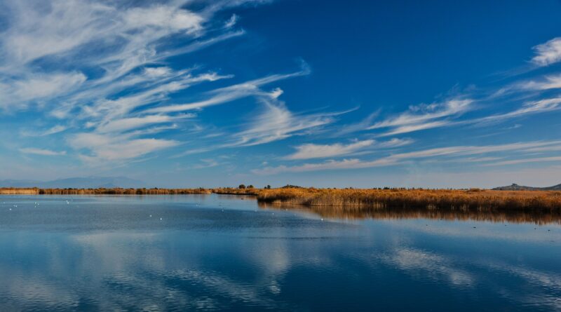
 Photo: Demiesk · CC BY-SA 4.0
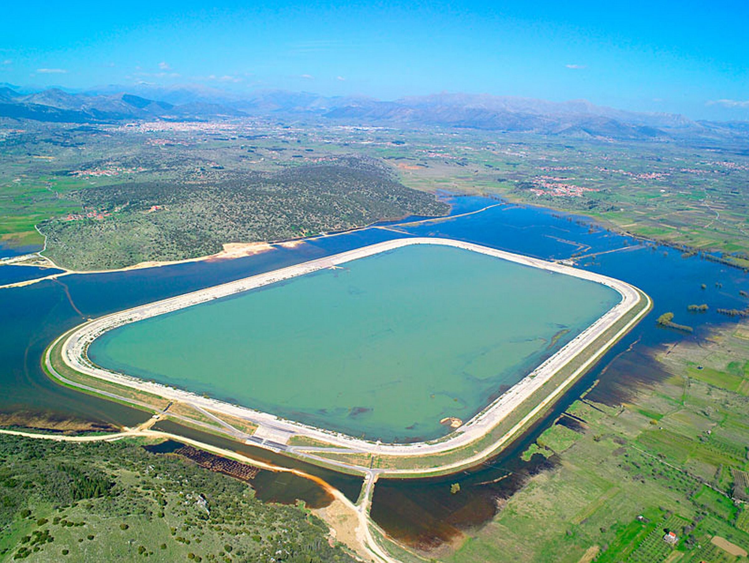
Photo: Apostolos Papageorgiou · CC BY-SA 3.0
A lake on the Plateau of Tripoli in Arcadia, formed in winter when rainwater floods the south of the basin.
How it formed
The basin has no surface outlet, so winter rain from the mountains collects in it. Seven sinkholes in the karst carry the water away, the largest of them cut about 25 m into a steep rock wall, and in summer the lake dries up. Most of the basin was turned into farmland, mainly after 1945, and a large pond was built around 2000 to store irrigation water.
History
Excavations here have found traces of the ancient city of Manthyrea. The village of Vouno stands beside the lake and is a lakeside village for about half the year.
Nature
When it floods, a wetland quickly comes to life, with willows and lilies around it, and it is a Natura 2000 site and a stopover for migrating birds, including egrets, glossy ibises, short-toed eagles, terns and kingfishers.
Visit
Swimming
No reliable information
Tips
The lake is about 10 km south of Tripoli, east of Tegea, at about 650 m. Come in winter or spring to see it with water. The lake is a stopover on migration, and the height of Kandalos gives views over the area.
Nearby lakes
Show on map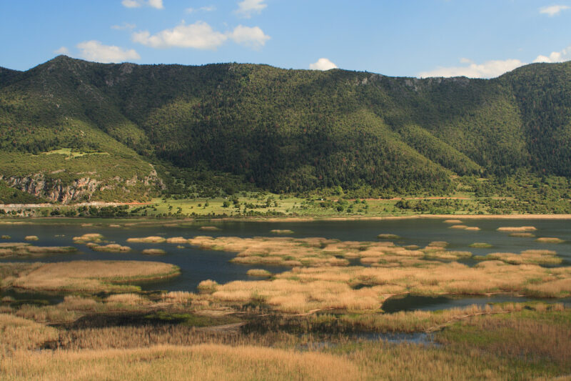


Know Lake Taka well?
Suggest a beach, viewpoint, trail or amenity, or tell us if something has changed. We read every message.
Sources & data
- Greece's 2022 Water Framework Directive reporting to the EEA: lake (LW) and transitional (TW) water bodies, field cArea, European Environment Agency (WISE WFD), reported by Greece, 2022
- OpenStreetMap: Λιμνοδεξαμενή Τάκας (way 222417938), OpenStreetMap contributors
- Wikidata: Lake Taka (Q15137638), Wikimedia Foundation
- English Wikipedia: Lake Taka, Wikimedia Foundation
- Taka Lake, All Over Greece