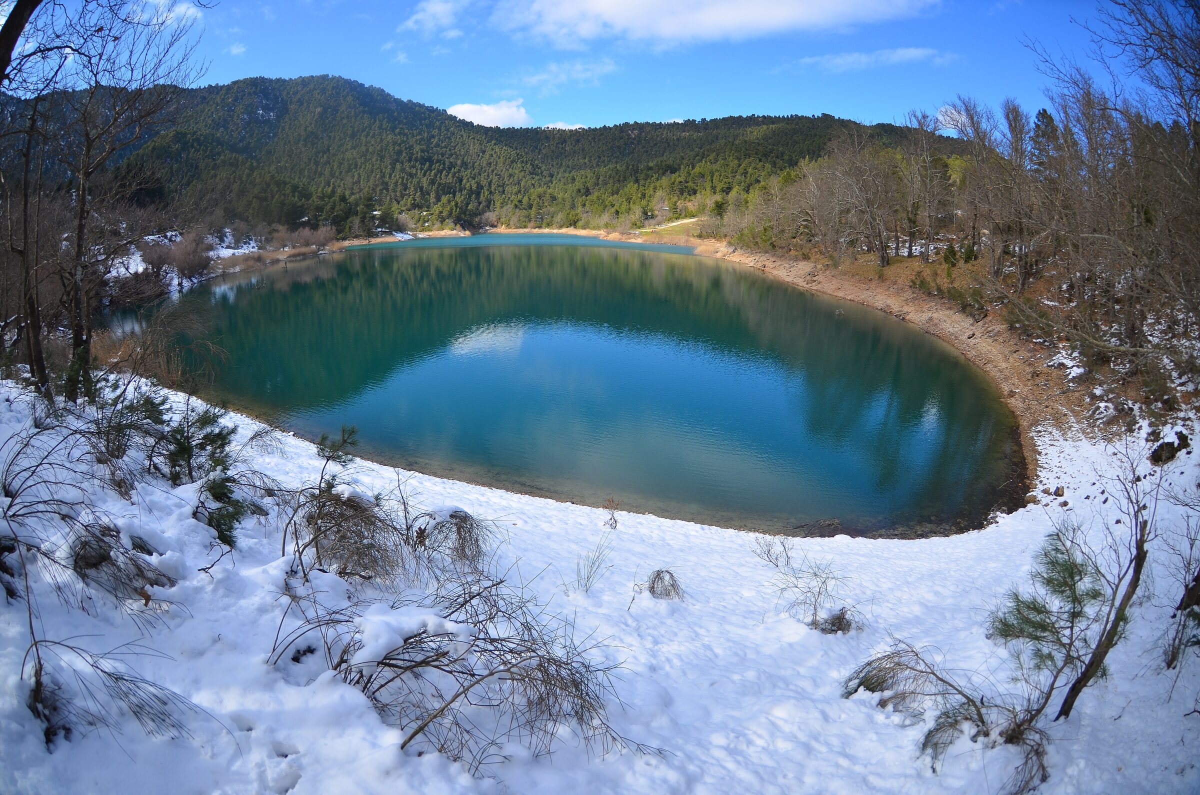
Photo: Georgikopoulos Manolis · CC BY-SA 4.0
A lake in the Achaean mountains on the slopes of Chelmos, formed when a great landslide blocked the Krathis river.
How it formed
In March 1913, after a harsh winter, a great mass of earth fell into the Krathis at the place then called Sylivena, blocking the river and forming two lakes. One soon vanished, and the other, about 77 m deep at first, remains at about 750 m, making this the youngest natural lake in Greece. Tree trunks sometimes emerge when the level falls, and the ruins of the houses of the old village lie on the bottom.
Nature
The lake is surrounded by the slopes of Mount Chelmos and the pine forest around Zarouchla, and it is home to various fish and birds.
Visit
Swimming
No reliable information
Tips
From the national road at Akrata, 150 km from Athens or 67 km from Patras, a road climbs towards Zarouchla and passes the lake; the drive from Patras is about an hour and a half. People come to walk or cycle around the lake, canoe and picnic, and to swim in summer, and sunset is the favourite time. There is a restaurant nearby.
Zarouchla, about 10 km away, has places to eat and traditional guesthouses. The trip combines well with Kalavryta, the Vouraikos gorge, the Cave of the Lakes and the waters of the Styx.
Nearby lakes
Show on map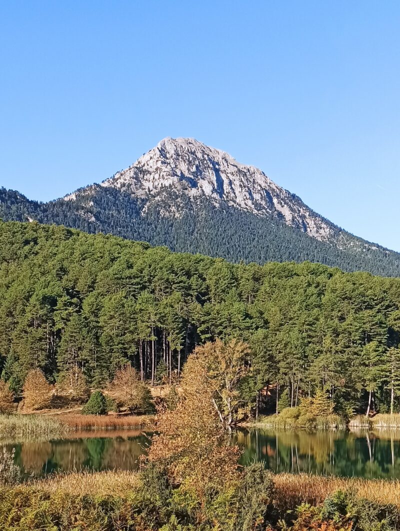


Know Lake Tsivlou well?
Suggest a beach, viewpoint, trail or amenity, or tell us if something has changed. We read every message.
Sources & data
- OpenStreetMap: Λίμνη Τσιβλού (way 147953962), OpenStreetMap contributors
- Wikidata: Tsivlou lake (Q15057232), Wikimedia Foundation
- Greek Wikipedia: Λίμνη Τσιβλού, Wikimedia Foundation
- Greece’s youngest natural lake, Greek National Tourism Organisation
- Tsivlou Lake, Visit Achaia