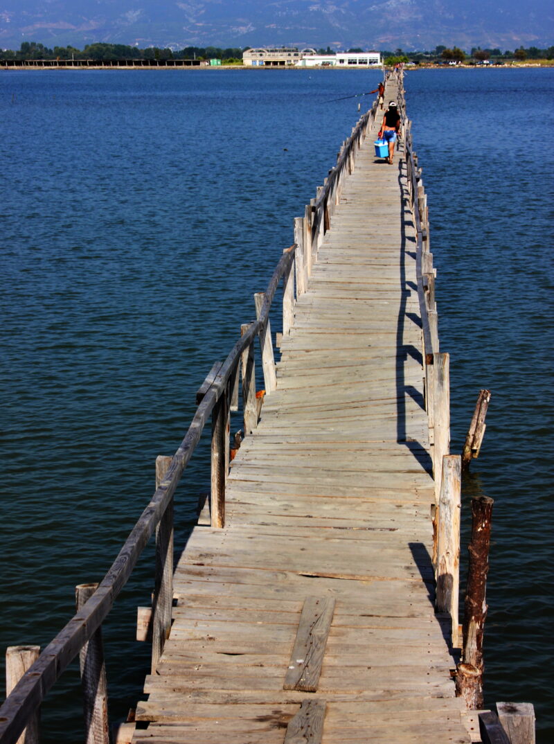
 Photo: Usien · CC BY-SA 3.0
A reservoir on the Fushë-Krujë plain in central Albania, also known as Tarini.
How it formed
The Tarini reservoir, the largest in the municipality of Durrës, holds water for farmland in seven villages. Its gates were blocked and its canals clogged for about 25 years, until they were reopened and partly rehabilitated in 2016 to irrigate some 1,500 hectares, with more planned.
Visit
Swimming
No reliable information
Tips
This is a working irrigation reservoir, so ask in Fushë-Krujë about access to the shore and fishing.
Nearby lakes
Show on map


Know Liqeni i Fushë Krujës well?
Suggest a beach, viewpoint, trail or amenity, or tell us if something has changed. We read every message.
Sources & data
- OpenStreetMap: Liqeni i Fushë Krujës (way 362239619), OpenStreetMap contributors
- 5800 families supplied with water for their lands after 25 years (2016), Albanian Council of Ministers