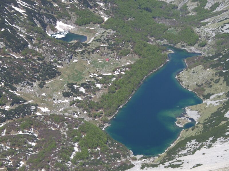
 Photo: Martin Brož · CC BY 3.0
Malo Škrčko jezero is the smaller and higher of the two Škrčka lakes, set in the great glacial cirque of Škrka in the heart of Durmitor, directly at the foot of Prutaš. Its larger neighbour, Veliko Škrčko, lies a short walk below, with the Škrka mountain hut between them.
How it formed
The Škrka cirque, carved by ice, is among the deepest on the Balkan peninsula, and peaks such as Bobotov kuk, Bezimeni vrh and Prutaš ring the Sušica canyon around it. Malo Škrčko fills the deepest, south-western part of the cirque, partly dammed on its northern side by glacial moraine.
Visit
Swimming
No reliable information
Tips
The usual route starts at the Dobri do trailhead at Šarban, about 40 minutes by car from Žabljak on the Durmitor ring road, climbs over the Škrčko ždrijelo pass or the summit of Prutaš, and drops steeply into the basin: a full day of about 12–13 km and some 7 hours. The Sušica canyon trail, from Lake Sušica past the Skakala waterfall, is another way in, and the lakes lie on the long-distance Via Dinarica.
The basic Škrka hut between the lakes, run by the national park, has a spring behind it. Go in summer, with good boots and plenty of time for the steep climb back out.
Nearby lakes
Show on map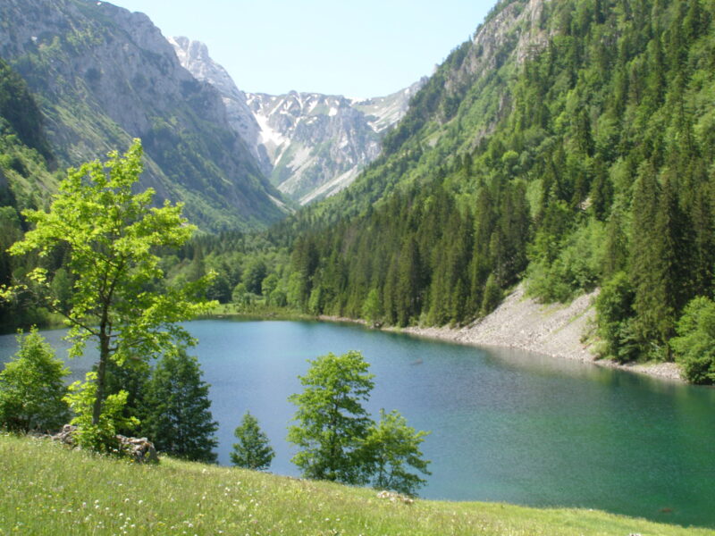


Know Malo Škrčko jezero well?
Suggest a beach, viewpoint, trail or amenity, or tell us if something has changed. We read every message.
Sources & data
- OpenStreetMap: Malo Škrčko Jezero (way 227064784), OpenStreetMap contributors
- Wikipedia: Škrčko Lakes, Wikimedia Foundation
- Škrčka lakes, Photo Montenegro