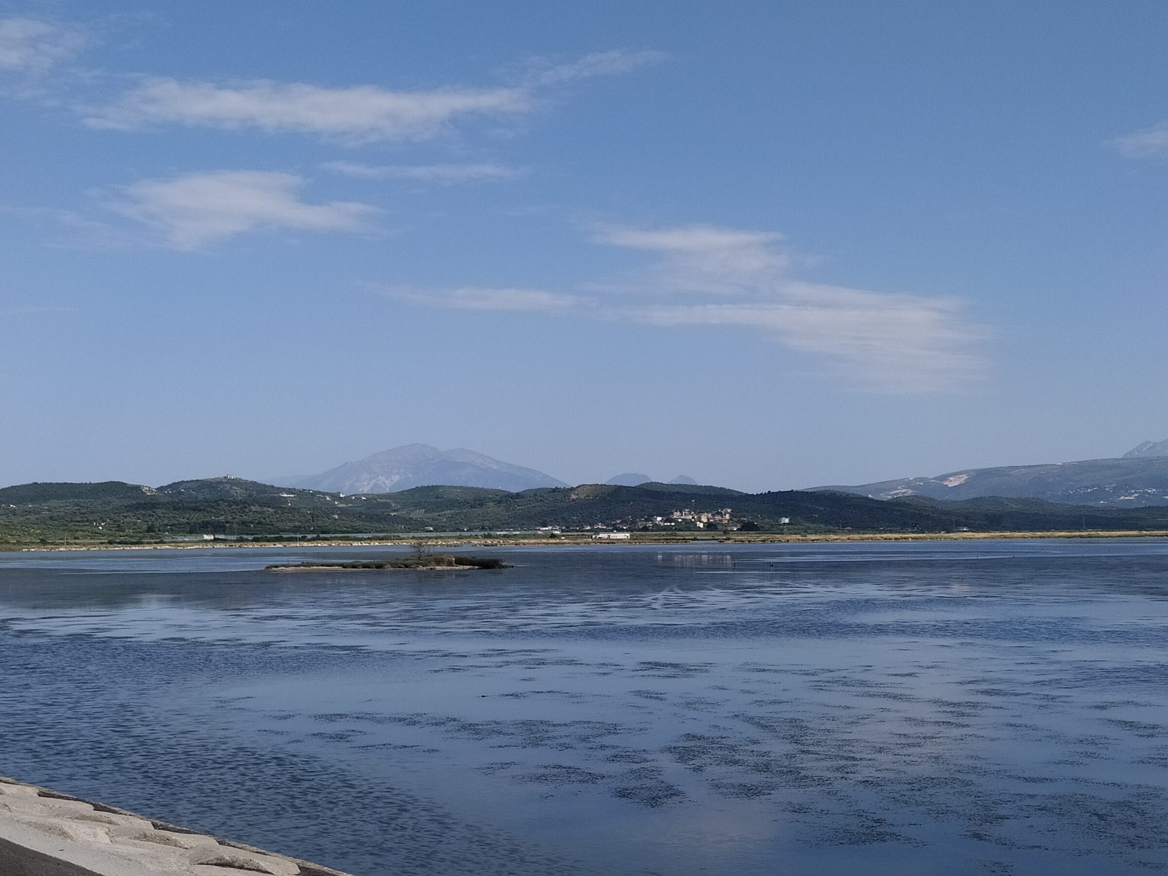
Photo: JonaSali29 · CC0
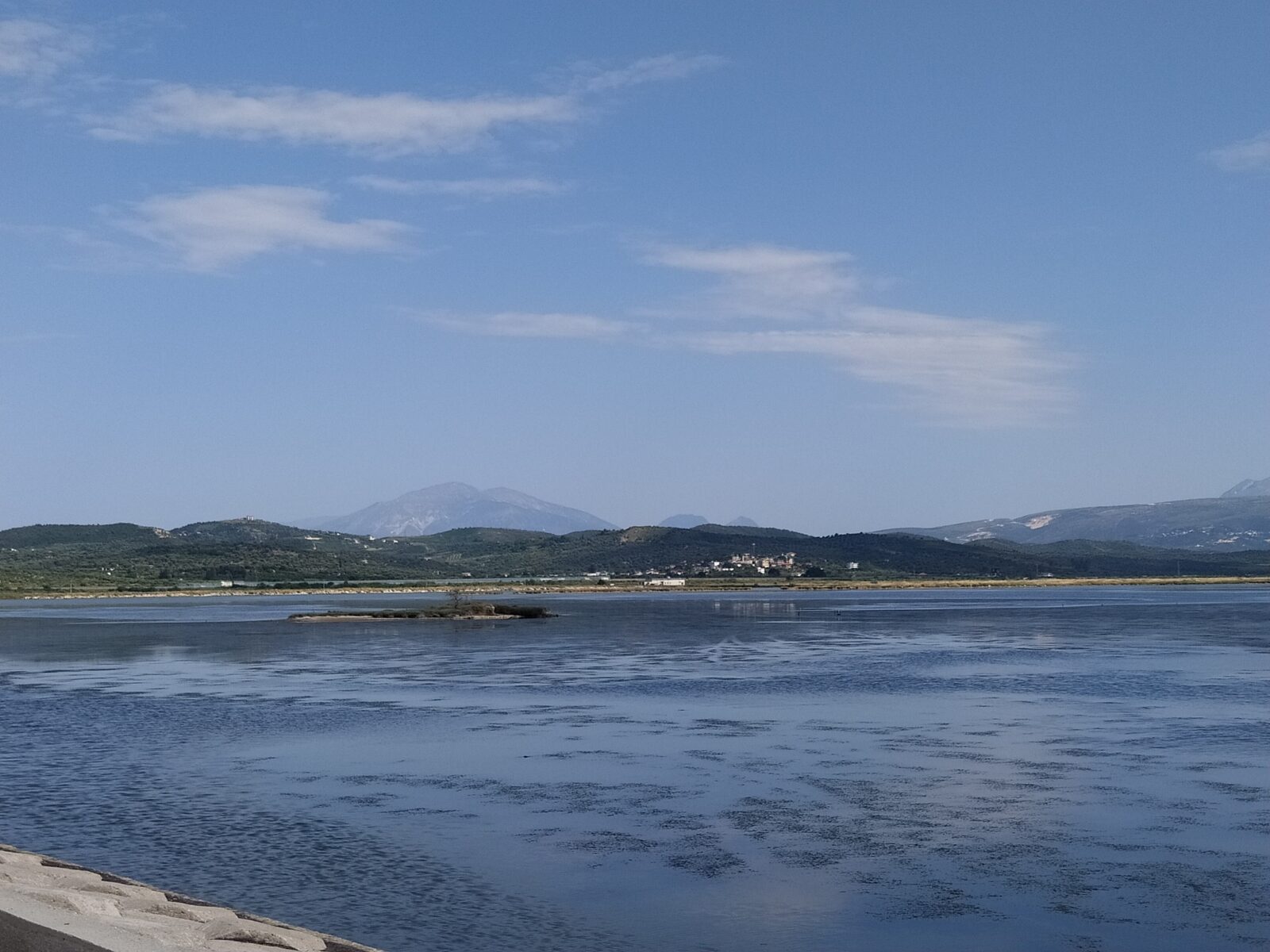
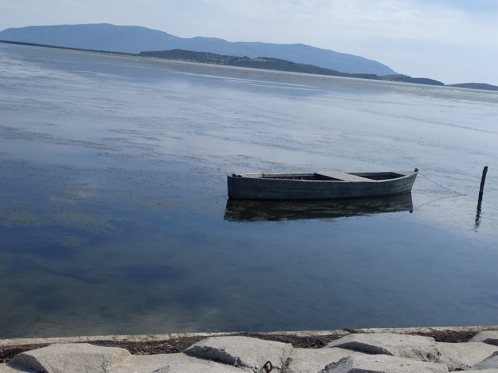
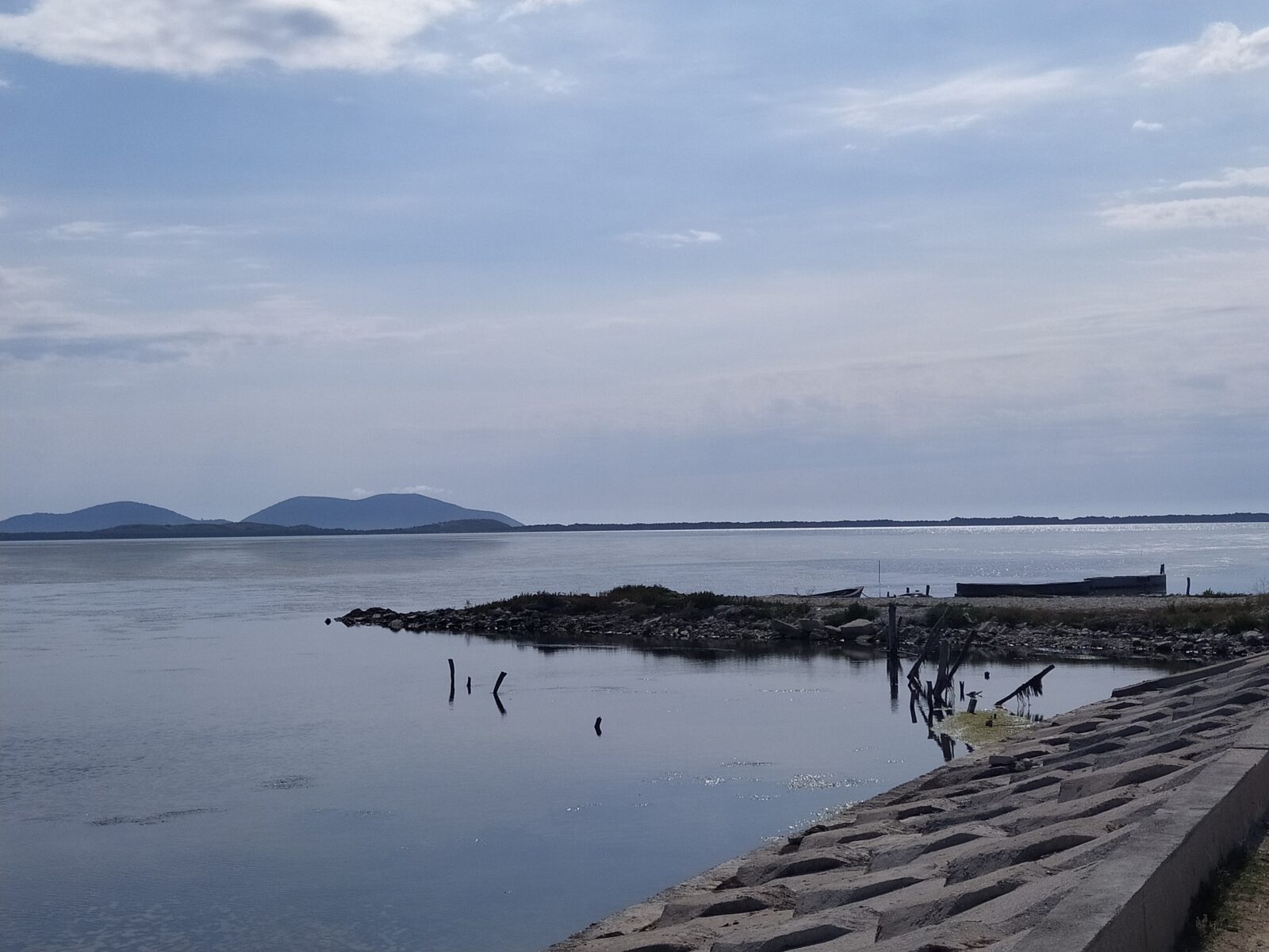
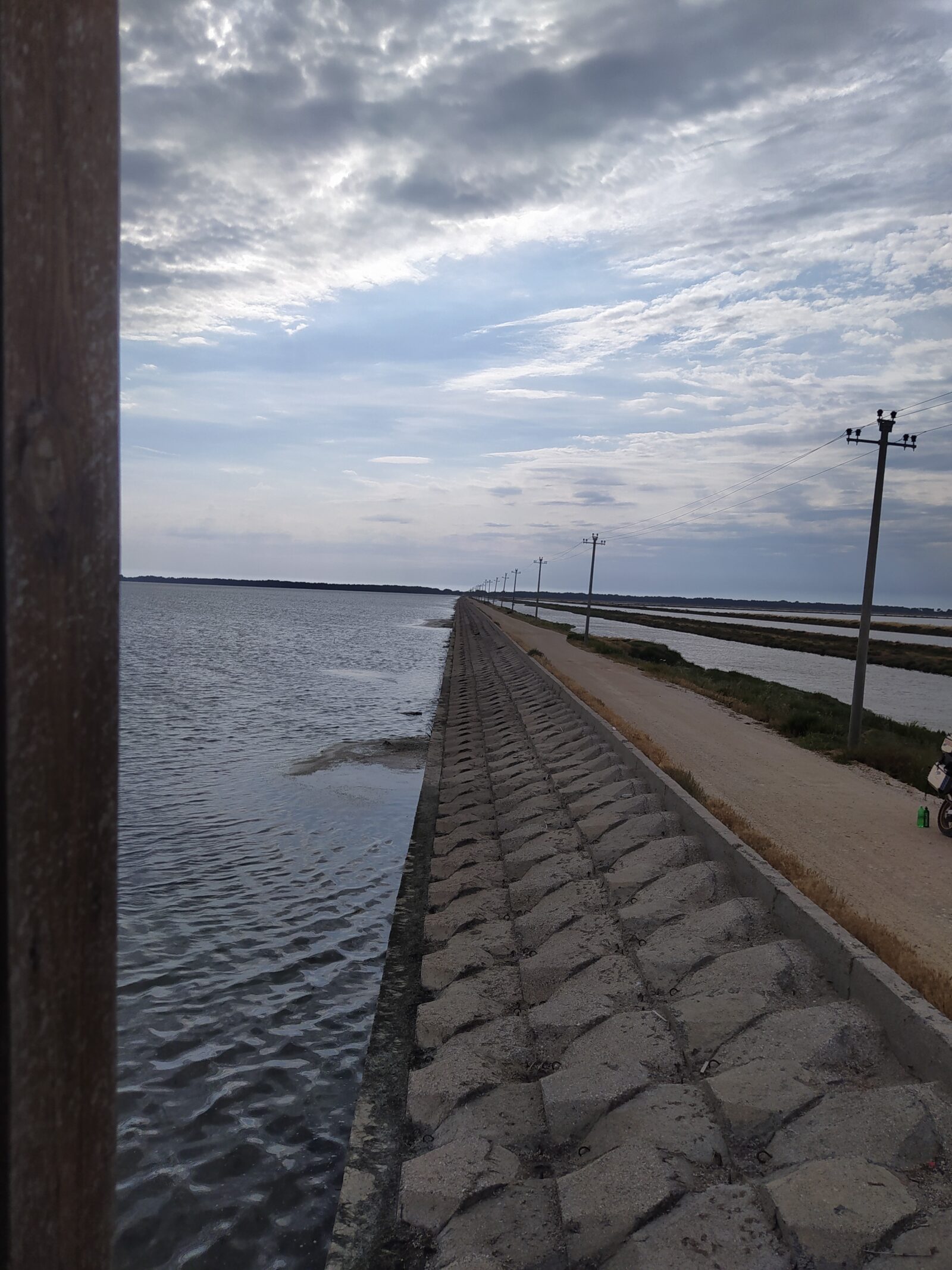
Narta Lagoon lies on the Adriatic coast of Albania, north of the Bay of Vlorë, separated from the sea by a narrow strip of dunes. It is very shallow and lies within the Vjosa Wild River National Park, and it is an important bird and plant area. On Zvërnec island in the lagoon, reached by a wooden footbridge, stands a monastery from the thirteenth century.
How it formed
The lagoon was formed by the constant build-up of material carried down by the Vjosa river, which rises in the Pindus mountains near the border between Albania and Greece. A narrow strip of land made of dunes of river sediment separates it from the sea. The village of Nartë on its southern shore gave it its name, and two islands lie in it, the larger being Zvërnec.
History
On Zvërnec island stands a monastery that dates from the thirteenth century. A wooden footbridge connects the island to the mainland.
The island monastery
The Orthodox monastery of Zvërnec, dedicated to Saint Mary, is known for its old stone architecture and frescoes. The footbridge, about 250–270 m long, runs from the mainland through pine woods and over the shallow water, and it is a favourite place for sunset photographs. On 15 August, the Assumption of Mary, thousands of pilgrims and visitors come to the island. The monastery can be seen from outside, and the interior is usually open only during services.
Nature
The lagoon is a very shallow water that has been recognised as an important area for birds and plants. It is a winter home to flamingos and many other wintering birds. Flamingos can often be seen during migration and in winter, so autumn and winter are the rewarding seasons, and sunrise and sunset are the best hours. Flamingos can number about 3,000, and the totals of wintering birds are far larger.
Gallery


Visit
Getting there
Nearest settlement: Vlorë
Swimming
No reliable information
Tips
The lagoon lies close to the city of Vlorë, and the footbridge to Zvërnec island is the usual way to see the monastery. As the lagoon is a protected area, check local conditions and rules before you go.
Getting there
The monastery is about 10 km north-west of Vlorë, on the road to the lagoon, and a car or taxi is the easiest way. There is a small parking area at the start of the footbridge. From Tirana the drive is about 2.5 hours. Half a day or an afternoon is enough.
On foot and by the sea
A moderate loop from Zvërnec of about 10 km takes roughly two hours and three quarters. The flat land is also good for cycling. Bring binoculars, and visit the monastery in the late afternoon when the light turns golden. Nearby beaches, such as those on the narrow spit between the lagoon and the Adriatic, are quieter than the Riviera, but the road to Porto Novo is rough.
Nearby lakes
Show on mapKnow Narta Lagoon well?
Suggest a beach, viewpoint, trail or amenity, or tell us if something has changed. We read every message.
Sources & data
- OpenStreetMap: Laguna e Nartës (relation 3688173), OpenStreetMap contributors
- English Wikipedia: List of lakes of Albania, Wikimedia Foundation
- English Wikipedia: Narta Lagoon, Wikimedia Foundation
- Wikidata: Narta Lagoon (Q6966407), Wikimedia Foundation
- Zvërnec: Albania's hidden paradise of flamingos, lagoons and timeless beauty, Albania Uncovered
- Birding places: Nartë lagoon, Birdingplaces.eu