 Photo: Harald Hetzner · CC0
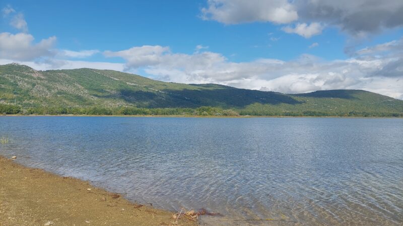
Opsenica, also called Obsenica or the Sveti Rok lake, is a reservoir near Lovinac in Lika, at the foot of Velebit. It is the upper reservoir of the Velebit hydroelectric scheme.
How it formed
A canal links the lake with the Ričica, which carries its water down to the Štikada reservoir, the main reservoir of the scheme; from there a tunnel under the Velebit leads to the power plant. The Obsenica itself is one of the sinking rivers of Lika whose water Štikada gathers.
Visit
Swimming
No reliable information
Tips
The lake is close to the village of Sveti Rok in the Lovinac area, which is best explored by bike on four marked cycling routes, with bikes for hire in Lovinac. Nearby are the 1744 Zdunić tower in Smokrić, the Turkish tower in Vranik, the Travić mill and, above, the high peaks of Velebit, Sveto brdo and Babin vrh.
Nearby lakes
Show on map


Know Opsenica well?
Suggest a beach, viewpoint, trail or amenity, or tell us if something has changed. We read every message.
Sources & data
- Croatia's 2022 Water Framework Directive reporting to the EEA: lake water bodies (SWB, category LW), field cArea, European Environment Agency (WISE WFD), reported by Croatia, 2022
- OpenStreetMap: Sveti Rok (way 39139082), OpenStreetMap contributors
- Waters of the Velebit Nature Park, Velebit Nature Park
- Croatian Wikipedia: Štikada (jezero), Wikimedia Foundation
- Lovinac, Lika-Senj County Tourist Board