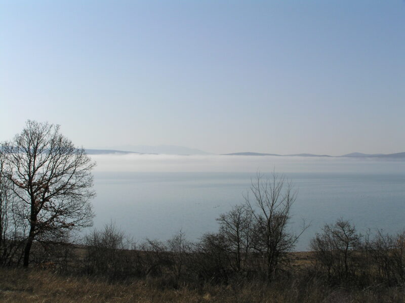
 Photo: Zoran Pravdić · Public domain

Bosnia and Herzegovina · Western Bosnia
Buško Lake
Reservoir · artificial
~27 kmaway
716 metreselevation
Prančevići is a reservoir on the Cetina near the village of Ugljane, in the river’s canyon below Trilj in inland Dalmatia. It holds back water for the Zakučac hydroelectric plant, and its fish make it a lake for trout anglers.
The dam was built in 1961 in the canyon of the Cetina, and the reservoir works as a compensation basin for the Zakučac power plants downstream, evening out the flow of the river before the water is led on to the turbines.
The lake has the fish of a trout river. Brown trout live here, some taking on the form of lake trout, along with rainbow trout, grayling and peled; the most numerous are the Cetina’s own endemic fish, among them the Illyrian chub, the ukliva and the Dalmatian barbelgudgeon.
Nearest settlement: Ugljane
No reliable information
Prančevići lies by the village of Ugljane, in Split-Dalmatia County. It is a working reservoir of the power company, so ask locally about fishing permits and about where you can reach the water.
Photo: Zoran Pravdić · Public domainBosnia and Herzegovina · Western Bosnia
Reservoir · artificial
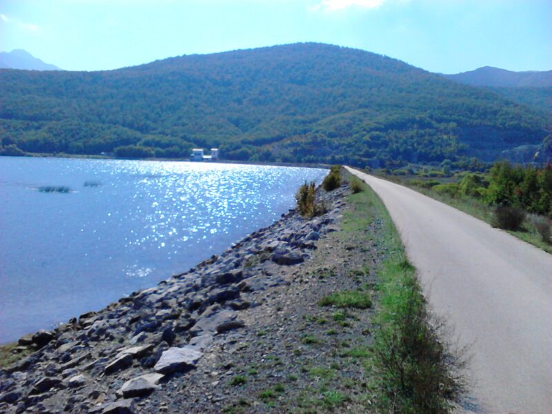 Photo: Dragan Zeba · CC BY 3.0
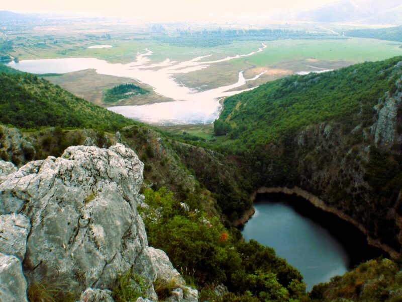 Photo: Miljenko 1960 · CC BY-SA 4.0
Suggest a beach, viewpoint, trail or amenity, or tell us if something has changed. We read every message.
Thank you. We read every suggestion.

