Šatorsko jezero is a small glacial lake in the wild high country of western Bosnia, between Bosansko Grahovo and Livno. The rocky walls of Veliki Šator, Mali Šator and Babina Greda rise more than 400 m above it, with mountain pine on their slopes and meadows full of wildflowers in summer. At Babina Greda are the rock formations known as the Devil’s Gardens.
How it formed
The Šator spring feeds the lake from the south-west, and a siphon on the north-eastern side keeps the level constant. The water is very clear, tinted green by pondweed, and the lake freezes from December to April, under ice up to 70 cm thick. A few hundred metres north is Bulino Vrelo, a spring local people believe has healing powers; its Mlinski stream joins the Šator stream to form the Unac.
History
Šator was once a vast pasture for thousands of cattle, some driven from as far as Dalmatia, but the country around it is now largely empty. The lake and the nearby Lednica cave have been declared eco-zones of special interest by the Assembly of Canton 10.
Nature
Edelweiss, rare and protected, grows on the northern slopes, along with Bosnian, Turkish and Carniolan lilies in the meadows around the lake. Frogs and small fish live in the water, and butterflies fill the meadows in summer.
Visit
Swimming
No reliable information
Summer water temperature: 17 degrees Celsius
Tips
The lake can be approached from the north, from Drvar or Glamoč, or from the south, from Bosansko Grahovo or Livno, through the village of Gornje Peulje on the Grahovo–Livno road. The last stretch is gravel in poor condition, damaged further by logging trucks, so a high-clearance vehicle and a confident driver are recommended.
There are no facilities; the old hotel is abandoned and in rough shape, though fresh spring water flows there. Visitors camp on a large flat area near the lake, for the quiet and the stars. Use the existing fireplaces, take only fallen wood and leave nothing behind.
An easy trail of 1–1.5 hours climbs Veliki Šator, with views over the lake, western Bosnia and Dinara. Early morning or the last light is the best time. The lake stays cool even in summer, which suits a bracing swim.
Nearby lakes
Show on map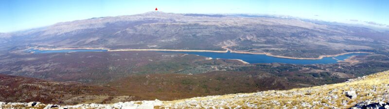

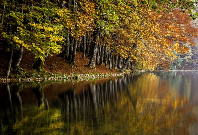 Photo: Предраг Божић · CC BY-SA 4.0

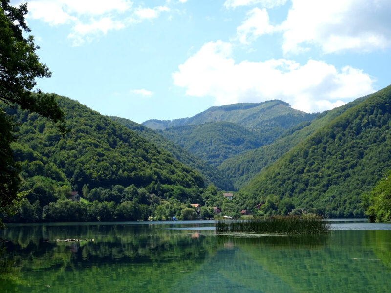 Photo: Whitepixels · CC0
Bosnia and Herzegovina · Central Bosnia
Veliko Plivsko jezero
Dam-regulated, Karst · natural, regulated
Know Šatorsko jezero well?
Suggest a beach, viewpoint, trail or amenity, or tell us if something has changed. We read every message.
Sources & data
- OpenStreetMap: Šatorsko jezero (way 75075491), OpenStreetMap contributors
- English Wikipedia: Šatorsko Lake, Wikimedia Foundation
- Wikidata: Šatorsko Lake (Q1276237), Wikimedia Foundation
- Magnificent views of Šatorsko jezero (2024), SeeSrpska
- The wild paradise on the roof of Krajina (2025), SeeSrpska
- Lake Šator (Šatorsko jezero): a photographer’s escape, Luka Esenko
- Wikipedia: Šator, Wikimedia Foundation