Šelovrenac, also spelled Šelevrenac, is one of the largest lakes on Fruška Gora, between Irig and Inđija, a few kilometres from the village of Maradik.
How it formed
It was formed in the 1980s, when a dam was built on the stream of the same name.
Visit
Swimming
No reliable information
Tips
The lake is on private land behind a fence, run as a private nature reserve by the company that bought it. An asphalt road leads there. Camping and swimming are not allowed, and sport fishing is limited and needs a paid licence. For a day by the water, the Dobrodol, Jarkovci and Pavlovci lakes are nearby alternatives.
Nearby lakes
Show on map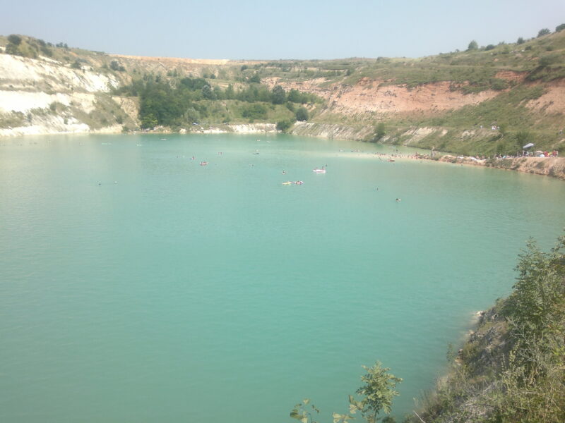

Know Šelovrenac well?
Suggest a beach, viewpoint, trail or amenity, or tell us if something has changed. We read every message.
Sources & data
- Serbian Wikipedia: Списак језера у Србији, Wikimedia Foundation
- OpenStreetMap: Језеро Шеловренац (relation 12435776), OpenStreetMap contributors
- Šelevrenac Lake, Fruškać