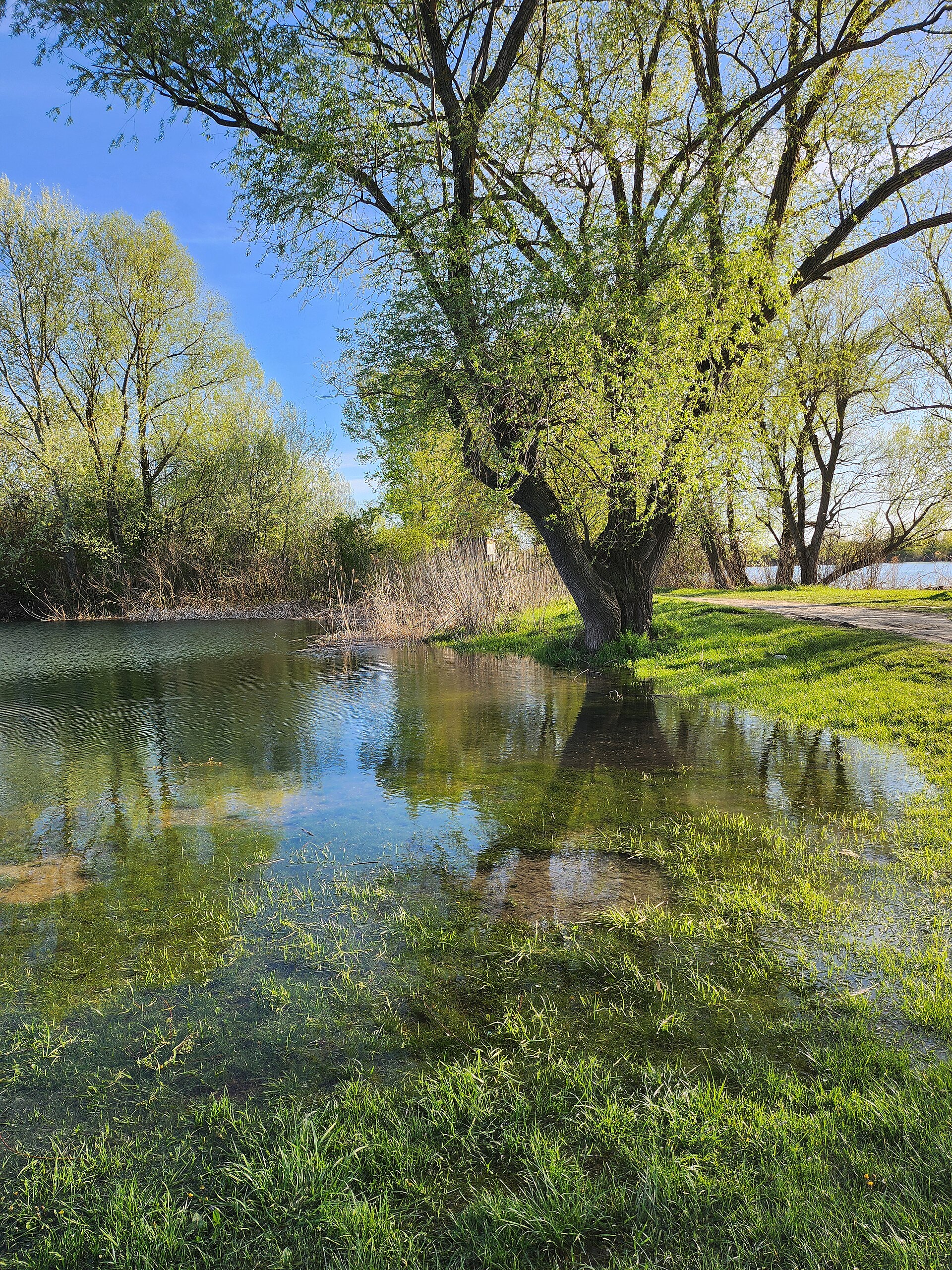
Photo: Djuka137 · CC BY-SA 4.0

Šljunkara, “the Gravel Pit”, is the largest of the Bela Crkva lakes in the Banat, with a large beach and an island.
How it formed
The lakes fill old gravel workings. Gravel was dug here from 1904, industrial excavation began around 1948, and groundwater and rain later filled the pits, with the gravelly ground keeping the water clear.
Nature
Birders find the lake consistently interesting, above all in winter, when the Bela Crkva lakes draw smews, goosanders, red-breasted mergansers, wigeons and goldeneyes. Grass carp, perch, carp and catfish are stocked across the lakes.
Visit
Swimming
No reliable information
Tips
The large beach makes this a good choice for a summer swim. In winter, bring a telescope; the ground around the lake is flat and open, with paved roads, tracks and narrow paths, but no hide.
Bela Crkva is about 100 km east of Belgrade, by the regional road through Pančevo and Kovin. See the Bela Crkva Lakes page for more.
Nearby lakes
Show on mapKnow Šljunkara well?
Suggest a beach, viewpoint, trail or amenity, or tell us if something has changed. We read every message.
Sources & data
- OpenStreetMap: Шљункара (relation 192695), OpenStreetMap contributors
- English Wikipedia: Bela Crkva lakes, Wikimedia Foundation
- Bela Crkva Lakes, Birdingplaces.eu
- Summer holidays on Serbia’s lakes, Informer
- Bela Crkva, a new hit among Serbian resorts, Kurir