
 Photo: Julian Nyča · CC BY 3.0

Bosnia and Herzegovina (Drina Valley) · Serbia
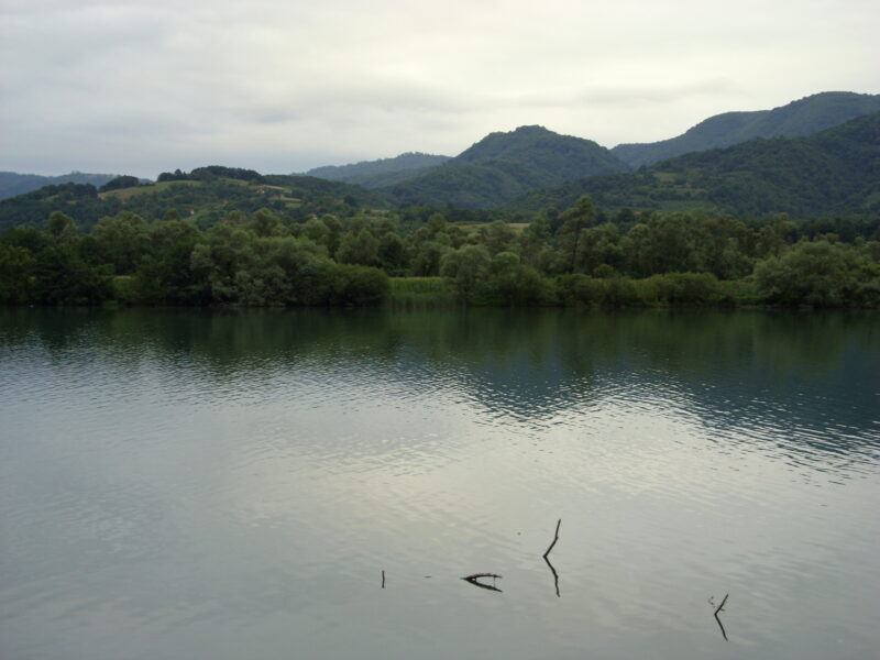
Zvornik Lake
Reservoir · artificial
~31 kmaway
140 metreselevation
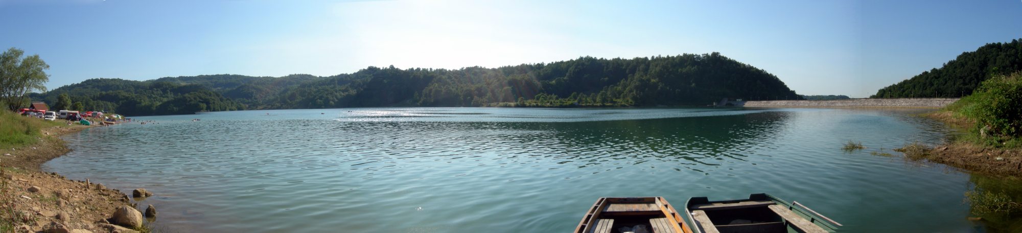
Photo: TheMiner · CC BY-SA 3.0
A reservoir at the village of Sniježnica near Teočak, on the line between the Federation and Republika Srpska, made for the Ugljevik power plant. It is filled by the Brzava and Rastošnica and drains into the Janja.
Nearest settlement: Teočak
No reliable information
The lake lies about 1.5 km from the main road, with a few benches on a quiet shore where villagers come in the evening to walk, have a drink or fish. The access road can be steep and muddy after rain.
Photo: Julian Nyča · CC BY 3.0Bosnia and Herzegovina (Drina Valley) · Serbia
Reservoir · artificial
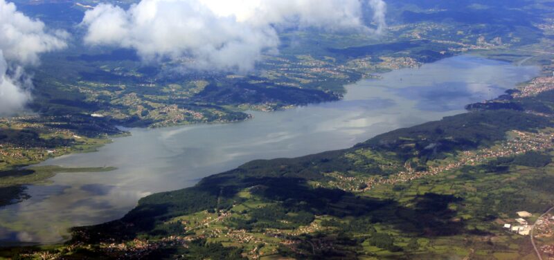 Photo: Julian Nyča · CC BY-SA 3.0
Bosnia and Herzegovina · Northeastern Bosnia
Reservoir · artificial
 Photo: Jovancavic · CC BY-SA 4.0
Suggest a beach, viewpoint, trail or amenity, or tell us if something has changed. We read every message.
Thank you. We read every suggestion.

