 Photo: Silverije · CC BY-SA 4.0
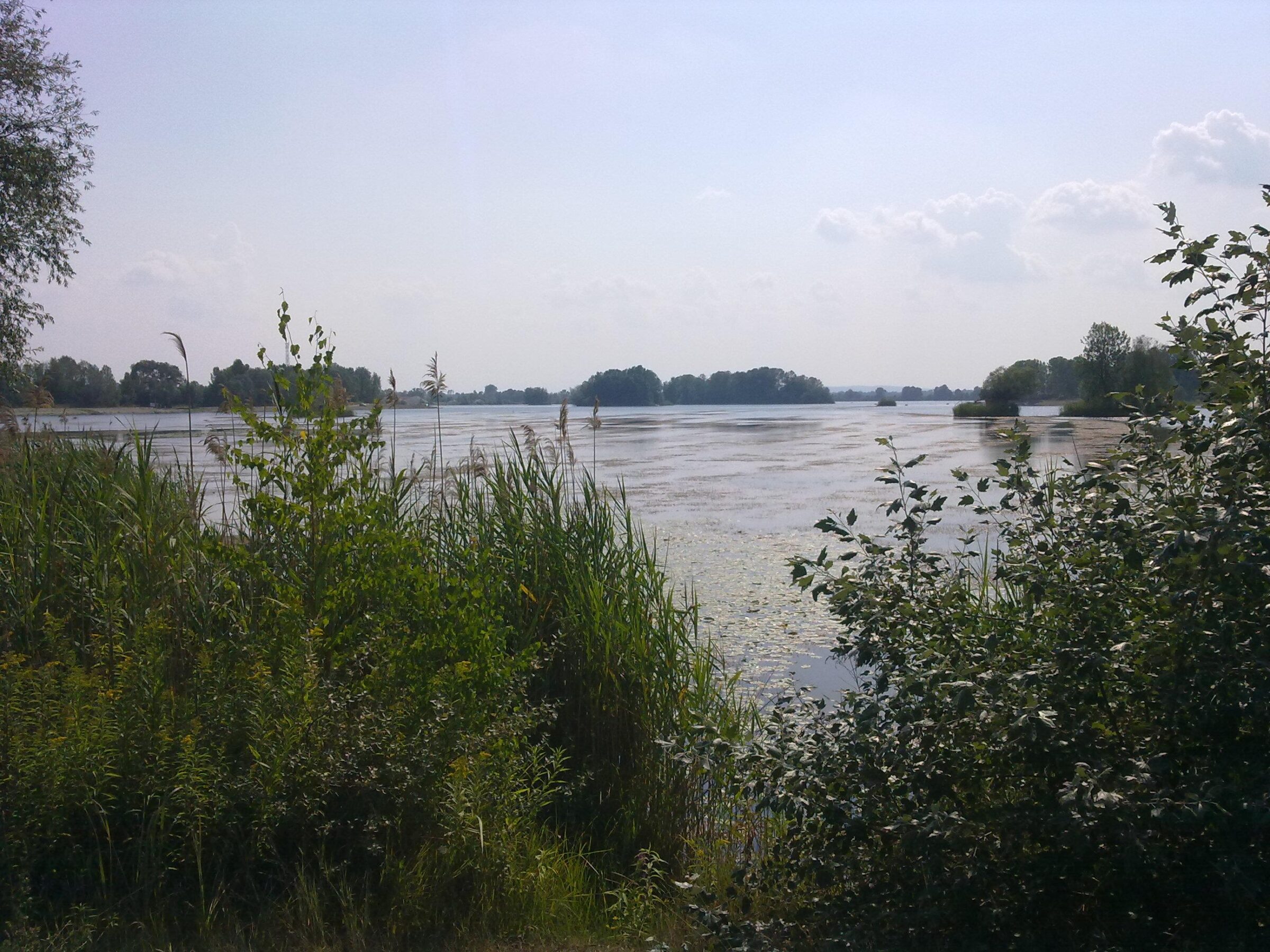
Photo: Croq · CC BY-SA 3.0
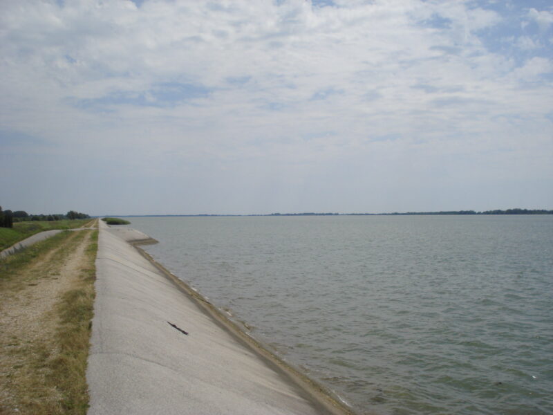
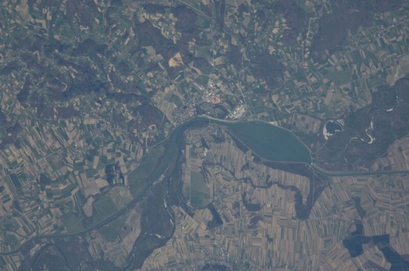
Šoderica is a lake in Koprivnica-Križevci County, near the Drava, made by people: it is a former gravel pit, and the extraction began in 1869 under a concession granted to the landowner Inkey. Tourism has grown around it since the 1920s and especially since the 1960s, and today it is the bathing and leisure lake of the county. Its south and west shores belong to the municipality of Drnje and the rest to Legrad.
How it formed
Šoderica is a former gravel pit on the Drava plain, and gravel is still dug in its southern part. The groundwater that fills it comes from the nearby Drava, so the lake rises and falls with the river after a short delay. It is deepest in the south and shallow in the middle and north-east, with a few wooded islands in the north; the water is clear and turquoise-green.
History
Bathing and tourism began here in the 1920s and took off in the 1960s; today the lake is known as the “Podravina sea”. A weekend-house settlement grew up behind the northern shore, with restaurants and roads, but many of the tourism plans drawn up in the 1990s were never fully carried out.
Nature
The lake lies in the Mura-Drava Regional Park. In winter hundreds of waterbirds gather on it, mute swans and goldeneye among them; cormorants, ducks and common terns are seen in the warmer months, and bee-eaters and sand martins nest in the banks near the gravel workings.
Visit
Getting there
Nearest settlement: Drnje
Swimming
No reliable information
Tips
Šoderica lies about 15 km from Koprivnica, near the Hungarian border. The beaches and the weekend settlement are on the northern, Legrad side, where a long, partly developed gravel beach runs along the shore; the south, in Drnje municipality, is where the gravel is dug. In summer the lake is the bathing place of the Podravina, with entertainment programmes and cafés and restaurants along the shore, and its water has been found satisfactory for bathing.
Outside the bathing season the lake is quiet and good for birdwatching, best in winter and spring. Paths around it are partly paved and partly not, and there is no hide, so a telescope helps.
Nearby lakes
Show on mapPhoto: Silverije · CC BY-SA 4.0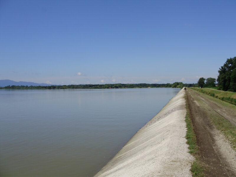


Know Šoderica well?
Suggest a beach, viewpoint, trail or amenity, or tell us if something has changed. We read every message.
Sources & data
- Croatia's 2022 Water Framework Directive reporting to the EEA: lake water bodies (SWB, category LW), field cArea, European Environment Agency (WISE WFD), reported by Croatia, 2022
- Wikidata: Šoderica (Q8082839), Wikimedia Foundation
- OpenStreetMap: Šoderica (relation 9680511), OpenStreetMap contributors
- Croatian Wikipedia: Šoderica, Wikimedia Foundation
- Wikipedia: Šoderica, Wikimedia Foundation
- Kamo pobjeći od vrućina: top mjesta za kupanje na rijekama i jezerima blizu Zagreba (2026), tportal.hr
- Lake Šoderica, Birdingplaces.eu