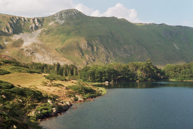
 Photo: Vuk Pajković · CC BY-SA 4.0
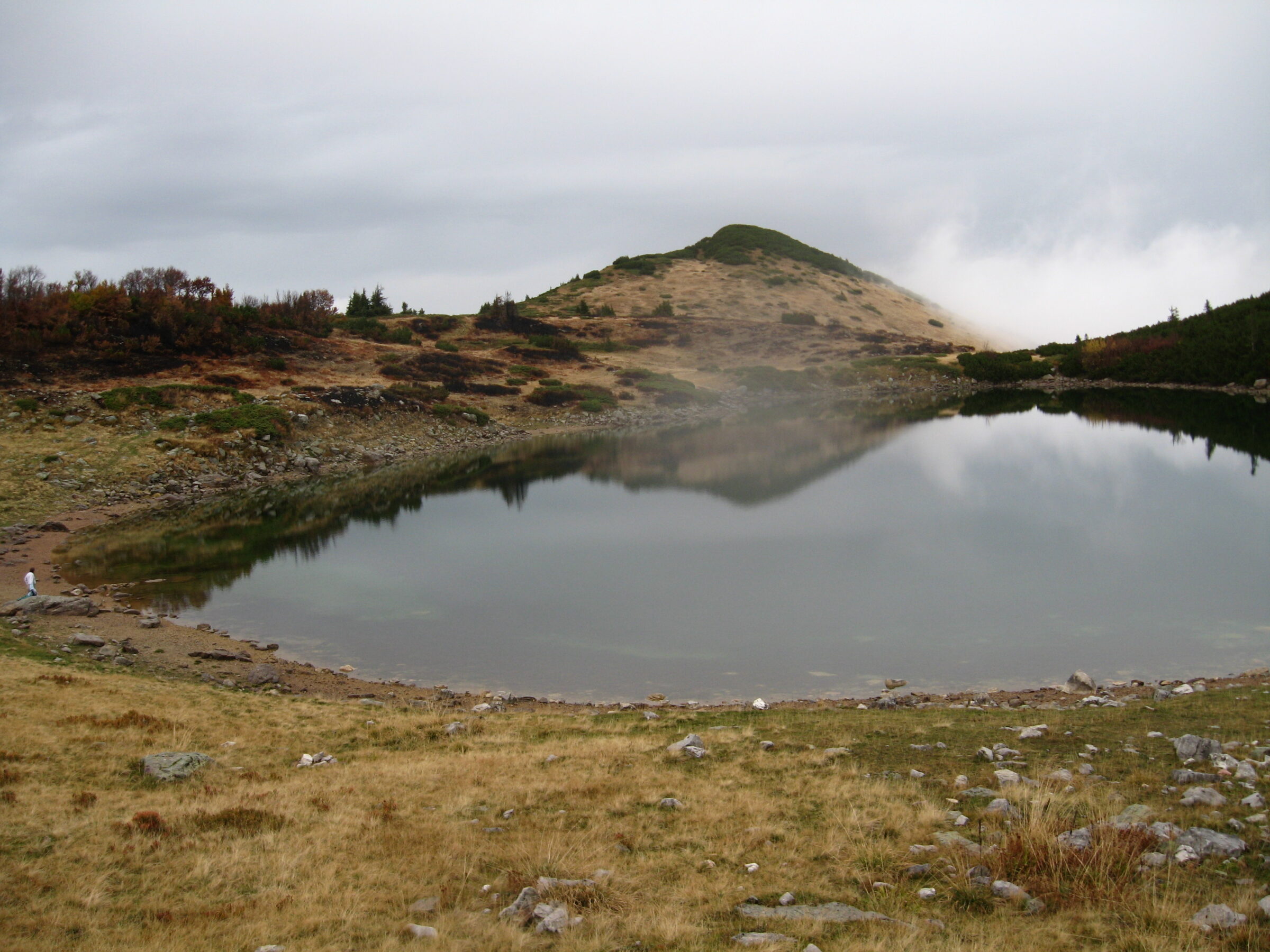
Photo: Emil Joanović · CC BY-SA 3.0
Ursulovačko jezero is one of the glacial lakes of Bjelasica, the mountain between Kolašin, Berane and Mojkovac, and the highest of them, below Crna glava near the village of Kurikuće, after which some call it the Kurikuće lake. Being so high, its water is colder and clearer than that of the other lakes.
How it formed
Two springs nearby feed the lake, and it loses water only through evaporation, as it has no outflow. It is shallow. About a kilometre away lies a smaller lake, Malo Ursulovačko or Blatina, which never dries out and is used to water livestock.
History
The name may date from the time of the medieval Saxon miners and may come from the Latin ursus, bear; a text of the 14th century mentions a Vlach katun called Ursulovac.
Nature
Mountain beech and dwarf pine grow around the lake.
Visit
Swimming
No reliable information
Tips
Ursulovačko is one of the least accessible lakes of Bjelasica, reached only on foot, from Katun Vranjak or from the Berane side through Kurikuće. Go in summer, with good boots and a map.
Nearby lakes
Show on map


Know Ursulovačko jezero well?
Suggest a beach, viewpoint, trail or amenity, or tell us if something has changed. We read every message.
Sources & data
- OpenStreetMap: Ursulovačko jezero (way 374613603), OpenStreetMap contributors
- Lakes, Kolašin Tourist Organisation
- Lakes of Bjelasica, Katun Roads
- A jeep tour to five mountain lakes of Bjelasica, Montenegro For Me