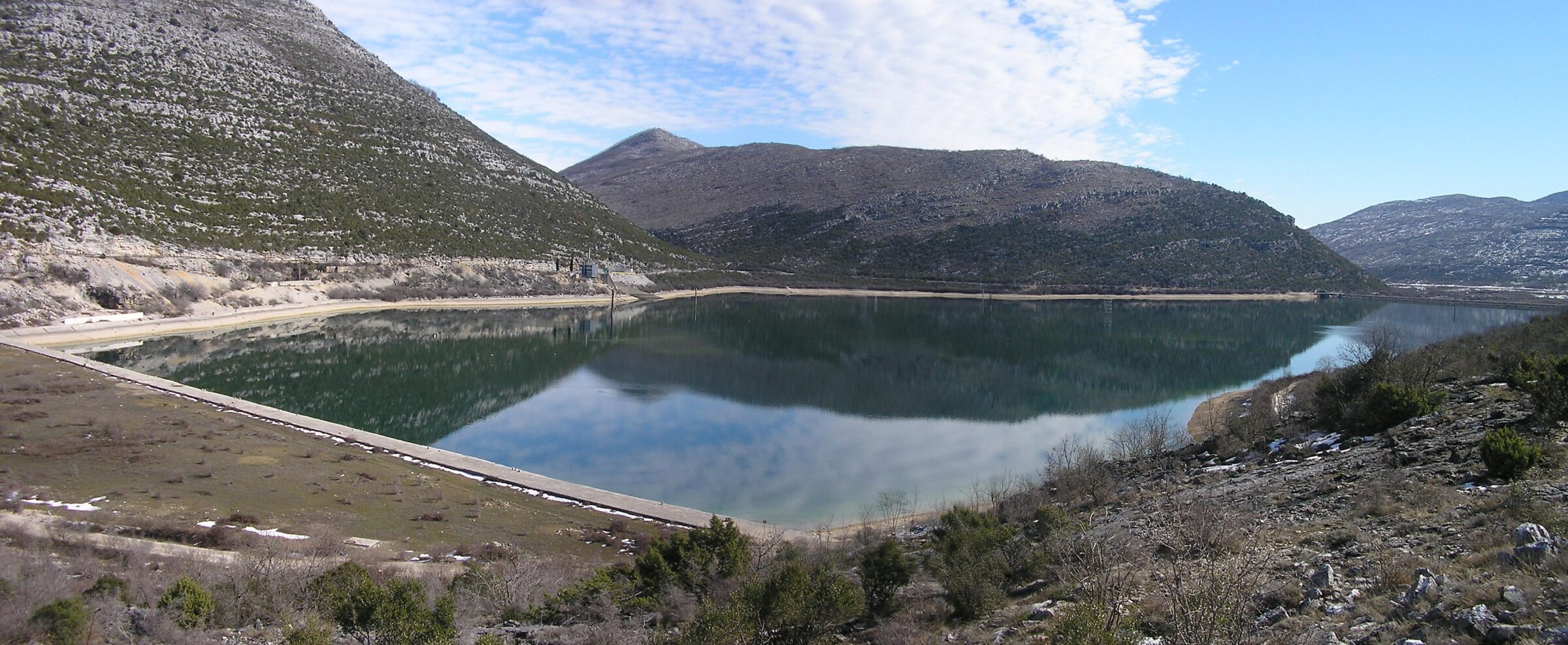
Photo: MaGa · CC BY-SA 3.0
A compensation and storage reservoir for the Čapljina pumped-storage power plant, on the Trebišnjica in the Popovo polje near Hutovo.
How it formed
Vrutak is the last and smallest of the three reservoirs of the Trebišnjica’s lower hydroelectric system, after Bileća and Trebinje. It serves the Čapljina pumped-storage plant, opened in 1979, as a compensation and storage basin, and much of the Trebišnjica above it has been canalised through the Popovo polje.
Visit
Getting there
Nearest settlement: Hutovo
Swimming
No reliable information
Tips
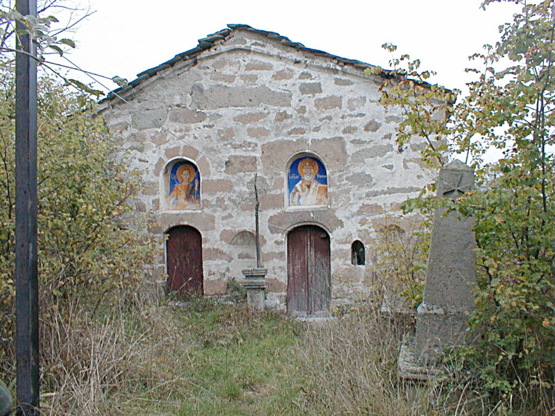
The lake lies near Hutovo, on a quiet road through the Popovo polje, a valley of vineyards and half-empty villages. Near it, the Glumina necropolis has some 60 stećci, the medieval tombstones of the region, and further along are Zavala monastery with its medieval frescoes and the Vjetrenica cave, home to more than 200 animal species.
The old railway across the valley is now the Ćiro cycle trail, and the former Zavala station is a restaurant.
Nearby lakes
Show on map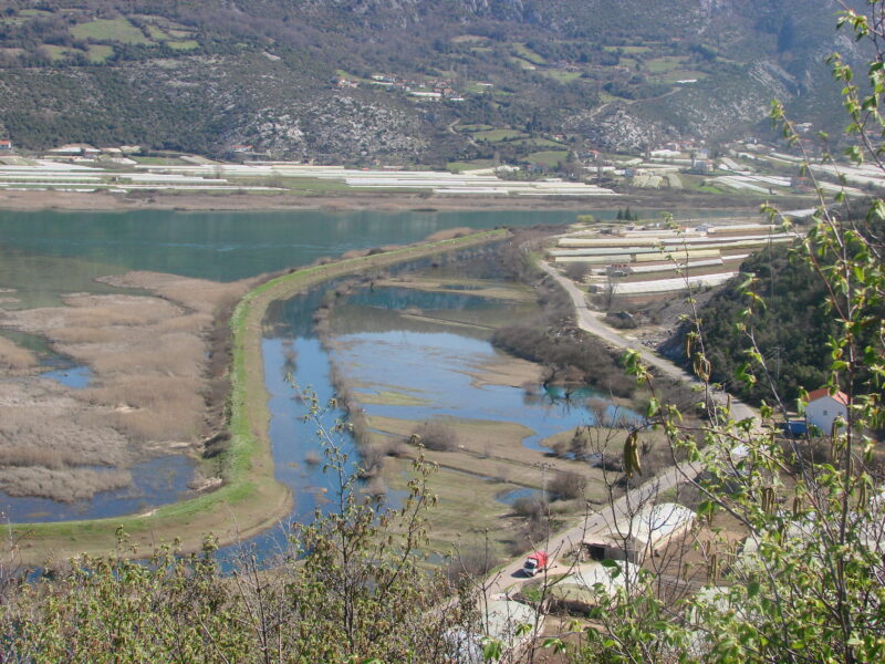


Know Vrutak well?
Suggest a beach, viewpoint, trail or amenity, or tell us if something has changed. We read every message.
Sources & data
- Croatian Wikipedia: Vrutak, Wikimedia Foundation
- OpenStreetMap: Jezero Vrutak (way 38562409), OpenStreetMap contributors
- English Wikipedia: Lake Vrutak, Wikimedia Foundation
- Wikidata: Vrutak (Q55886759), Wikimedia Foundation
- Wikipedia: Čapljina Hydroelectric Power Station, Wikimedia Foundation
- Popovo polje: past and future (2022), Montenegro for Me