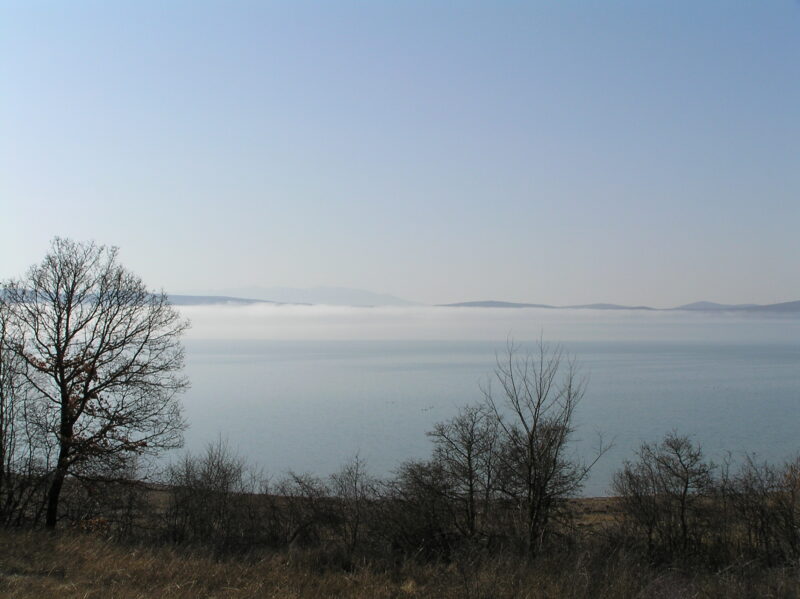
 Photo: Zoran Pravdić · Public domain

Bosnia and Herzegovina · Western Bosnia
Buško Lake
Reservoir · artificial
55.8 square kilometresarea
716 metreselevation
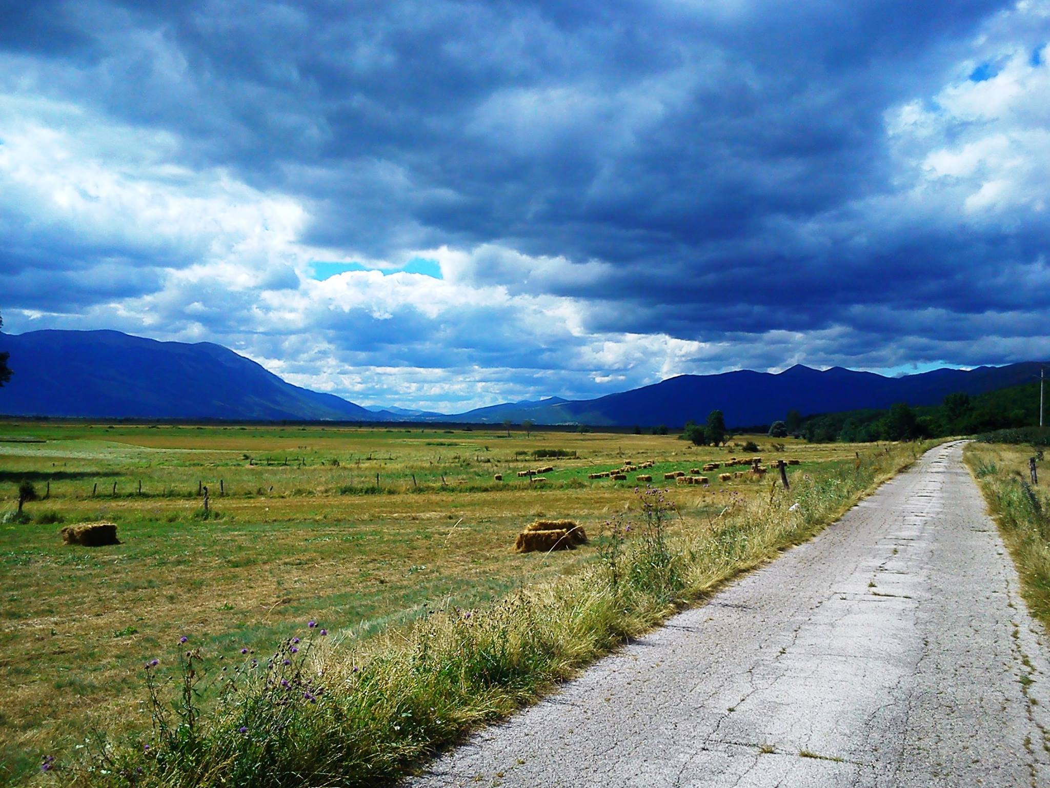
Photo: Pokrajac · CC BY-SA 3.0
Livanjsko Polje, the Field of Livno, in south-western Bosnia and Herzegovina is often called the largest polje, or karst field, in the world, and it is a Ramsar wetland site. It is a typical karst polje encircled by tall peaks and mountain ranges, with many unique natural phenomena and karst features. It lies in the Tropolje region between the karst mountains of Dinara and Kamešnica on the south, Tušnica on the east, Cincar and Golija on the north and Šator and Staretina on the west. Buško Blato lies to the south-east and Ždralovac to the north-west.
Livanjsko Polje covers about 410 km² and has been a Ramsar site since 2008. It is periodically flooded, which shapes its wildlife. Cincar, Dinara and Kamešnica rise around it. Wild horses roam here, in a herd said to number 800 or more, and spring and summer suit looking for them, with a local guide. Livno is famous for its Livno cheese, and a climb to the old fortress above the town gives the best view of the polje. June to August is the pleasant time to visit.
Map unavailable. The list keeps working.
Pinch to zoom. Pan with two fingers.
Ctrl+scroll to zoom (Cmd+scroll on Mac)
Photo: Zoran Pravdić · Public domainBosnia and Herzegovina · Western Bosnia
Reservoir · artificial
Tell us if something has changed or is missing. We read every message.
Thank you. We read every suggestion.