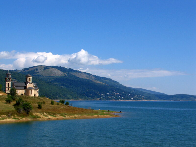
 Photo: Ishai Bar (Headrock) · Public domain

North Macedonia · Polog
Lake Mavrovo
Reservoir · artificial
13.5 square kilometresarea
1,220 metreselevation
49 metresmax. depth
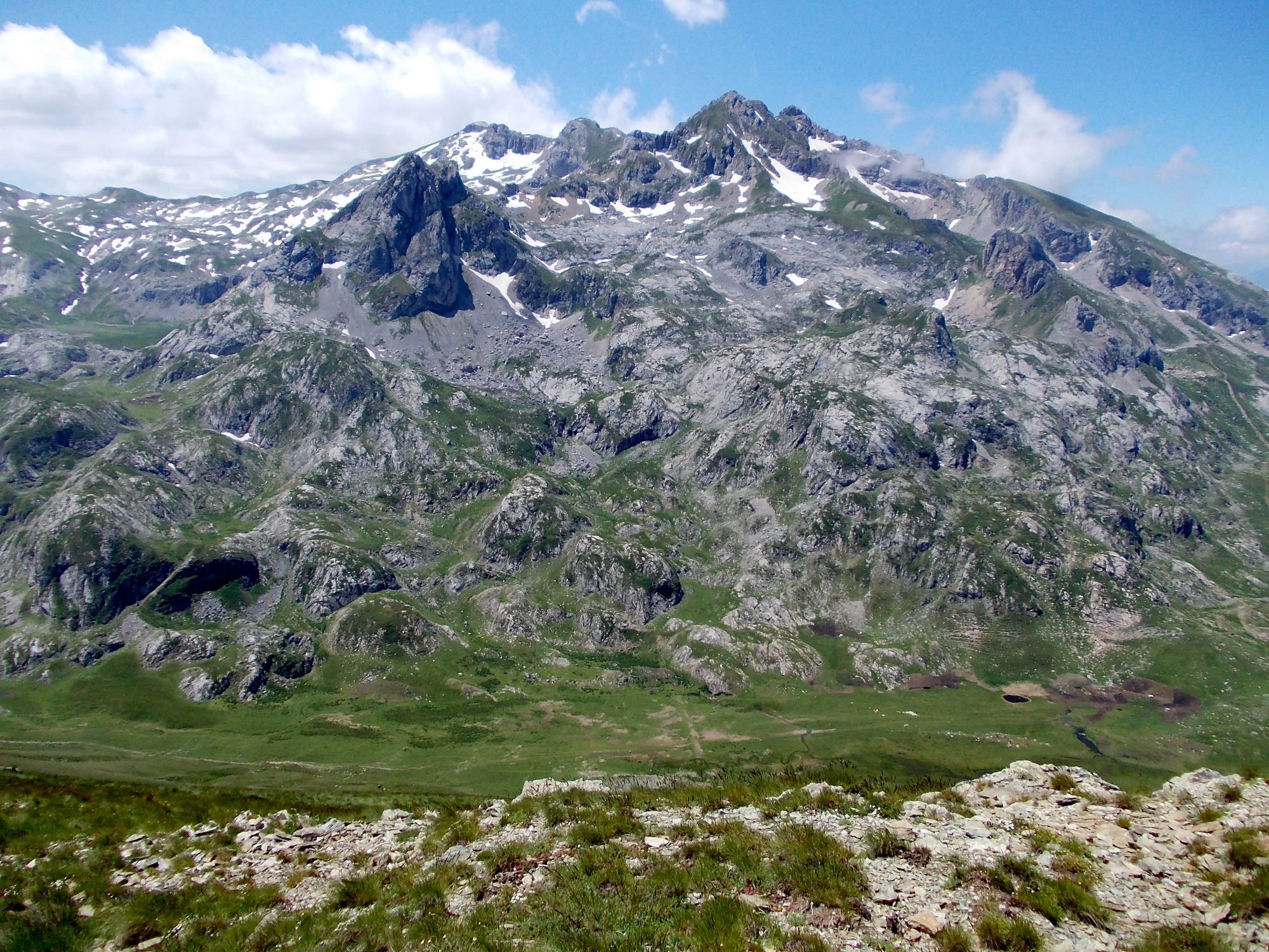
Photo: Pavouk · CC BY-SA 3.0
Mavrovo National Park is the largest of the national parks of North Macedonia, in the west of the country, within the municipalities of Mavrovo and Rostuša. It is known for deep canyons, lakes and dense forests with diverse wildlife. It was established in 1949, and later legislation introduced a much stricter system of protection that divides the park into strict nature reserves, managed reserves and a tourist zone. Its relief contains three Alpine mountain systems, the Šar, Korab and Bistra mountains; Korab peak is the highest in North Macedonia.
The park is the country's largest. The M4 road links Skopje and Ohrid and four regional roads cross it. Mavrovo Lake has the half-sunken church of St Nicholas; Mount Korab (2,764 m) is a demanding climb, the Duf waterfall is a half-hour forest walk, and Lokuv Lake is a 40-minute hike from Trebište (deep snow can lie on high trails until June, and shepherds' dogs are common). The Zare Lazarevski ski resort on Mount Bistra has runs from 1,960 m to 1,250 m, and the Bunec Safari Park offers ranger-guided tours of 1–2 hours. The monastery of St Jovan Bigorski near Rostuša asks for modest dress, and every July the village of Galičnik holds its wedding festival. Most lodging is in private villas and weekend houses around Mavrovo and Leunovo.
Map unavailable. The list keeps working.
Pinch to zoom. Pan with two fingers.
Ctrl+scroll to zoom (Cmd+scroll on Mac)
Photo: Ishai Bar (Headrock) · Public domainNorth Macedonia · Polog
Reservoir · artificial
Tell us if something has changed or is missing. We read every message.
Thank you. We read every suggestion.