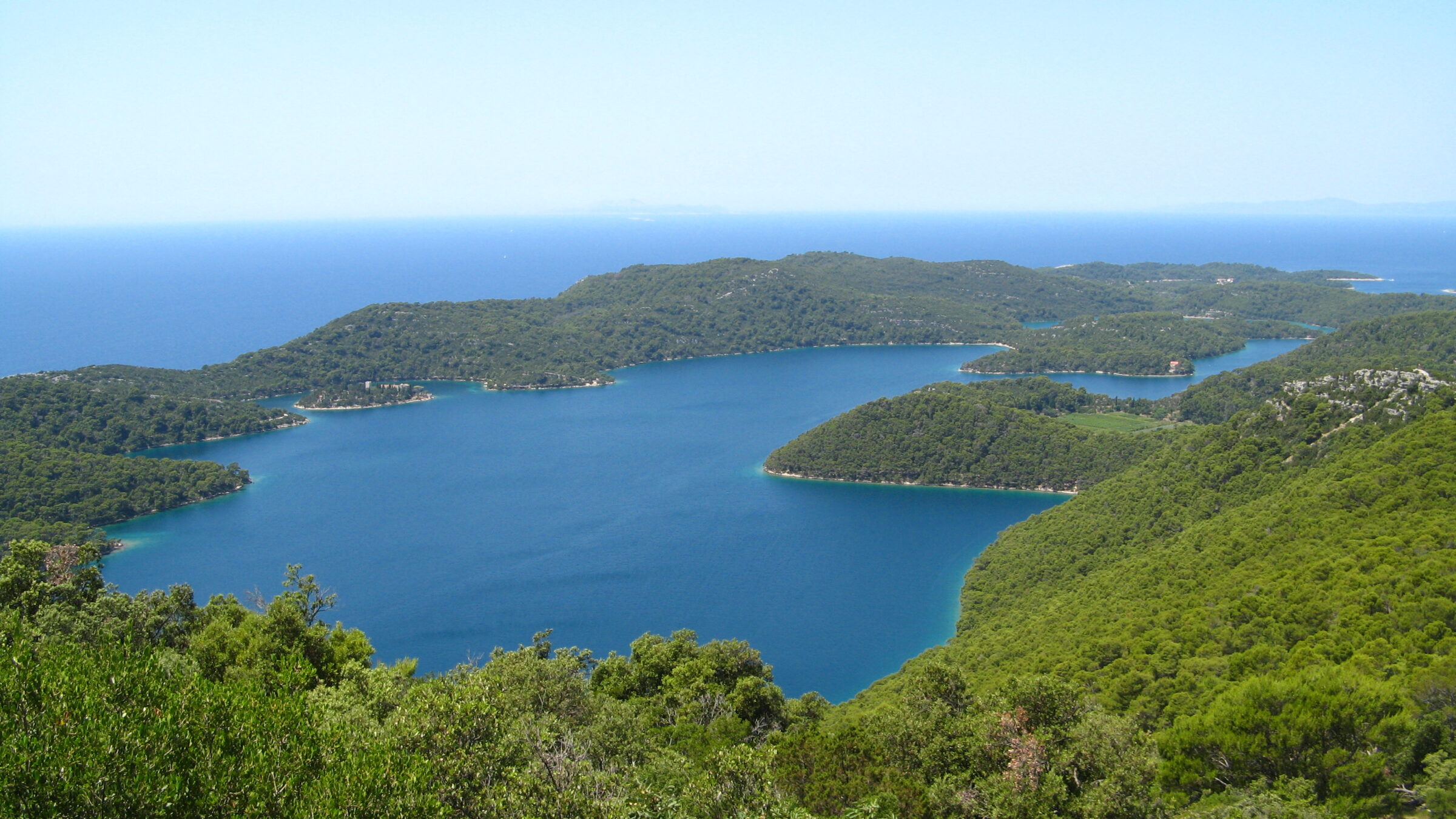
Photo: Patrick Rouzet · CC BY-SA 3.0
Mljet National Park covers the western part of the Adriatic island of Mljet, in the south of Croatia. Its area includes the lakes Veliko jezero and Malo jezero, Soline Bay and a belt of sea around the most prominent cape of the island. Its central parts are Veliko jezero with the Isle of St Mary, Malo jezero and the villages of Goveđari, Polače and Pomena. The park was first proclaimed on 11 November 1960.
Visiting Mljet
The park has two entry points, Pomena and Polače, where most places to stay and eat are. Admission includes a short bus ride to Pristaniste (Veliko Jezero) or Mali Most (Malo Jezero) and the boat to the islet of St Mary, whose 12th-century Benedictine monastery is now a restaurant. Kayaks and bikes can be rented at Pristaniste and Mali Most. Car ferries run all year from Prapratno to Sobra (buses on to Pomena and Polače), and a passenger boat runs from Dubrovnik to Polače from June to September. Buy tickets online if you can, and plan around the summer ferry timetable. Try makaruli, homemade macaroni with goat's cheese and fried garlic.
Lakes in the area
Map unavailable. The list keeps working.
Pinch to zoom. Pan with two fingers.
Ctrl+scroll to zoom (Cmd+scroll on Mac)
- Natural lake
- Natural, regulated
- Artificial lake (reservoir)
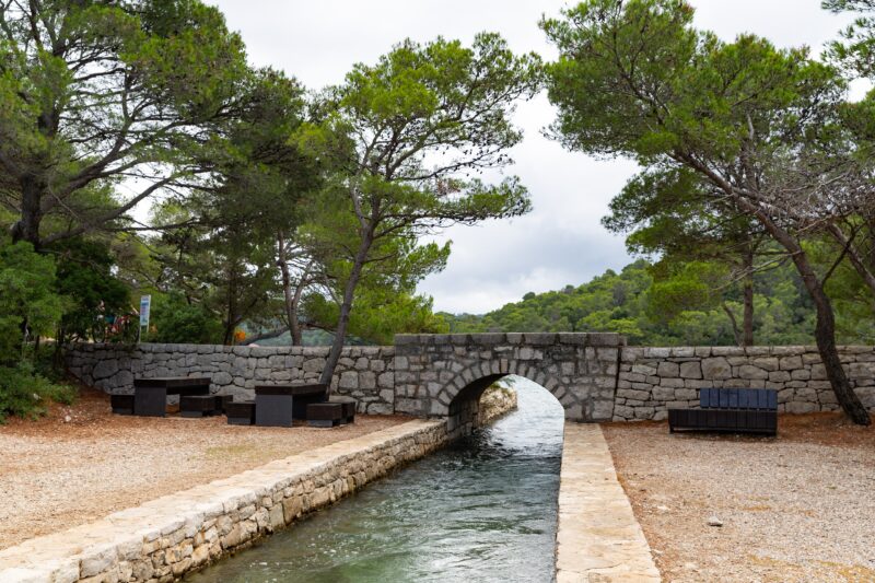

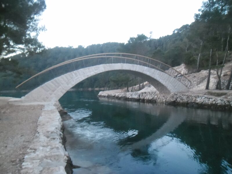 Photo: August Dominus · CC BY-SA 4.0

Places
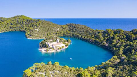
Monastery
Sveta Marija Island
A small islet in the southern part of Veliko jezero, best known for its medieval Benedictine monastery, later rebuilt as a two-storey Renaissance building. Remains of a Roman building have also been found on the islet. Visiting St Mary's islet…
Know Mljet National Park well?
Tell us if something has changed or is missing. We read every message.
Sources & data
- Wikidata: Mljet National Park (Q1574010), Wikimedia Foundation
- Wikipedia: Mljet National Park, Wikimedia Foundation
- Mljet, Croatia Traveller