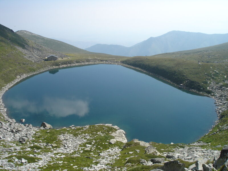
 Photo: Македонец · CC BY-SA 3.0
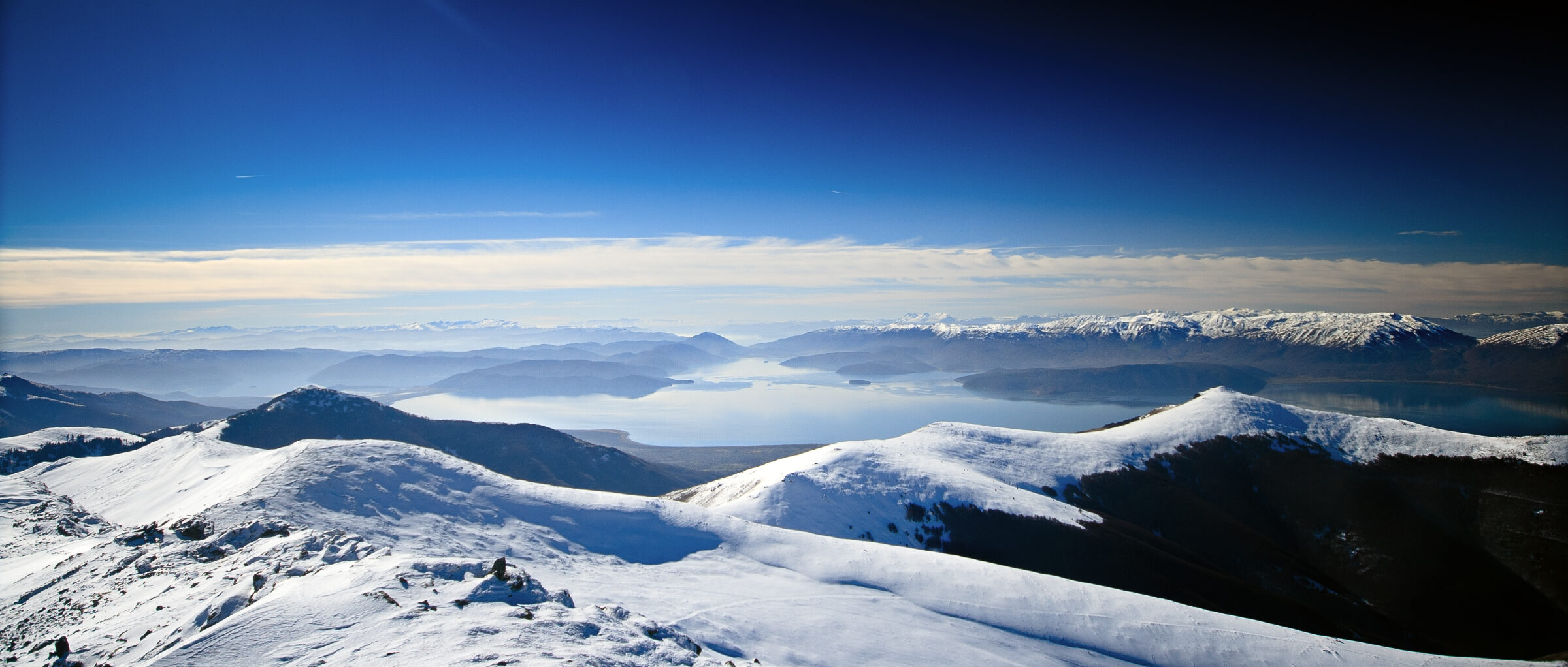
Photo: MartinDimitrievski · CC BY-SA 3.0
Pelister National Park lies in the Baba mountain massif, in the municipality of Bitola in North Macedonia. It was established in 1948 as the first national park of Yugoslavia and is the oldest protected area in North Macedonia; it was expanded in 2007 to protect a larger part of the massif. The park has distinctive geological formations, among them Pleistocene granite "stone rivers" or moraines, glacial cirques and two glacial lakes high on the mountain, known as Pelister's Eyes. It has extensive forests of the endemic Macedonian pine, Pinus peuce, and a rich biodiversity that includes the grey wolf, the European otter and the bearded vulture.
Visiting Pelister
Bitola is the usual base, 15–20 minutes by car from the park. The famous "Eyes", Golemo Ezero and Malo Ezero, are a long walk, not a stroll: the Nizepole route is about 12 km with 1,000 m of climbing and takes roughly 2.5 hours to Golemo Ezero, and Malo Ezero lies another 2.5 km on. The summit route to Pelister peak is the most demanding in the park, an 8–9 hour return. The hut at Golemo Ezero is usually closed except on summer weekends. A taxi from Bitola to Nizepole costs about 10 euros.
Lakes in the area
Skip map
Map unavailable. The list keeps working.
Pinch to zoom. Pan with two fingers.
Ctrl+scroll to zoom (Cmd+scroll on Mac)
- Natural lake
- Natural, regulated
- Artificial lake (reservoir)
Photo: Македонец · CC BY-SA 3.0
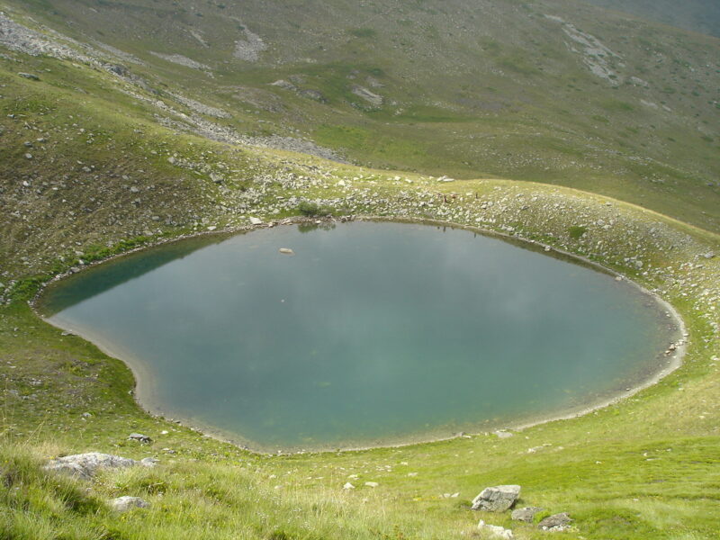 Photo: Македонец · CC BY-SA 4.0

Know Pelister National Park well?
Tell us if something has changed or is missing. We read every message.
Sources & data
- Wikidata: Pelister National Park (Q3364519), Wikimedia Foundation
- English Wikipedia: Pelister National Park, Wikimedia Foundation
- Big Lake, Small Lake, Peak Pelister, Pelister National Park
- Pelister Eyes: Big and Small Lake hiking trail, Bitola.info