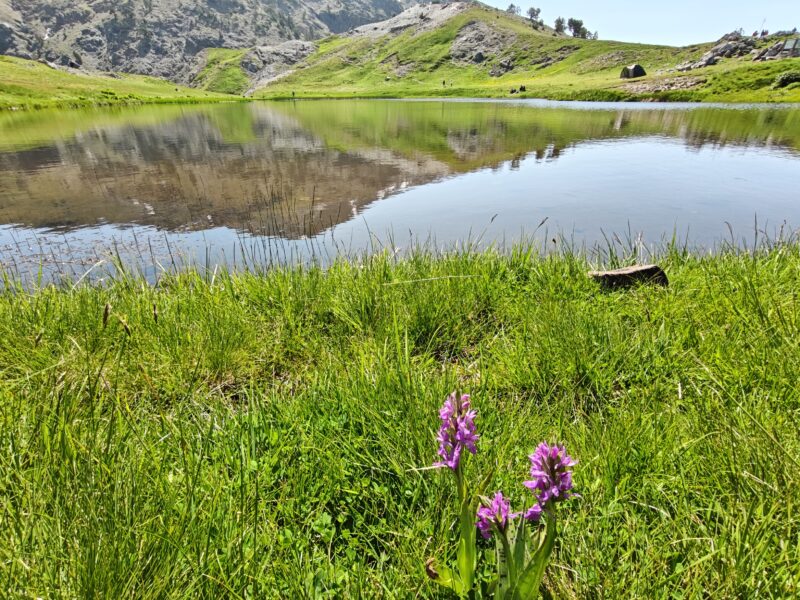
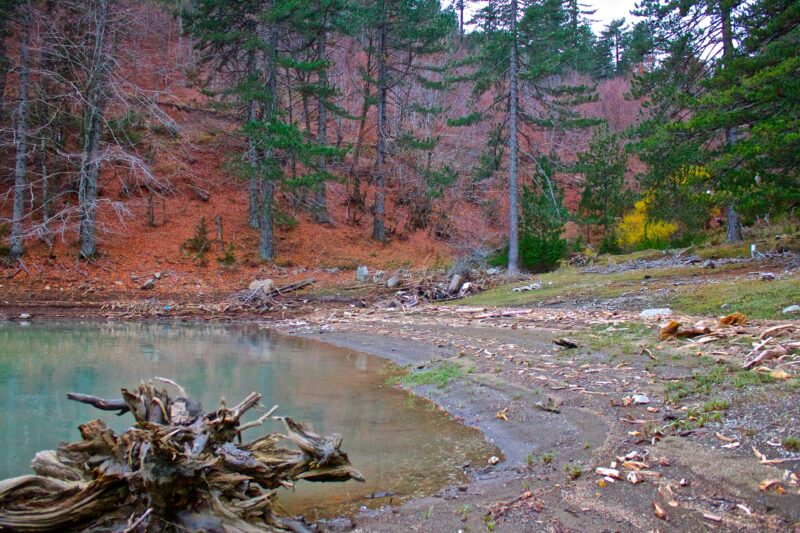
 Photo: Ellie Βarmpagiannis · CC BY-SA 4.0
Greece · Epirus
Aoos Springs Lake
Reservoir · artificial
8.21 square kilometresarea
1,350 metreselevation
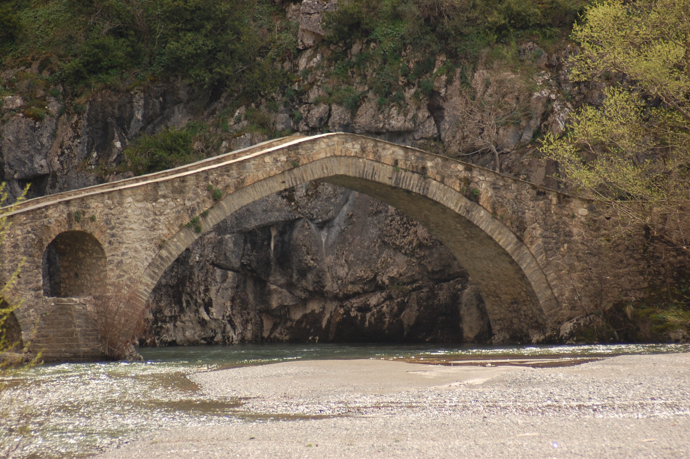
Photo: Karayan74 · CC BY-SA 4.0
Pindus National Park, also known as Valia Calda, "the Warm Valley" in Aromanian, lies in an isolated mountainous area at the edge of Western Macedonia and Epirus in north-western Greece, in the north-eastern part of the Pindus range. It was established in 1966. Its core zone covers most of the Valia Calda valley and the slopes of the surrounding peaks. The park is characterised by dense forests of European black pine and common beech, rocky ridges, several peaks above 2,000 m, rapid streams and mountain lakes, and it belongs to the Natura 2000 network.
Valia Calda is one of the least visited and least known national parks in Europe and is not signposted from the main roads, so a guided tour or a detailed map helps. It protects pristine old-growth forest and clear streams, and it is one of three places in Greece that hosts a population of brown bears. Entry is free. Late spring to early autumn is the best time. One guided option starts from Vovousa, where you can swim in the Aoos river, and a basic campground sits in the heart of the park (no reservations). Vasilitsa, nearby, is best known as a ski centre. Ask locally how to behave in bear country.
Map unavailable. The list keeps working.
Pinch to zoom. Pan with two fingers.
Ctrl+scroll to zoom (Cmd+scroll on Mac)
Photo: Ellie Βarmpagiannis · CC BY-SA 4.0Greece · Epirus
Reservoir · artificial
Tell us if something has changed or is missing. We read every message.
Thank you. We read every suggestion.