
Serbia · Western Serbia
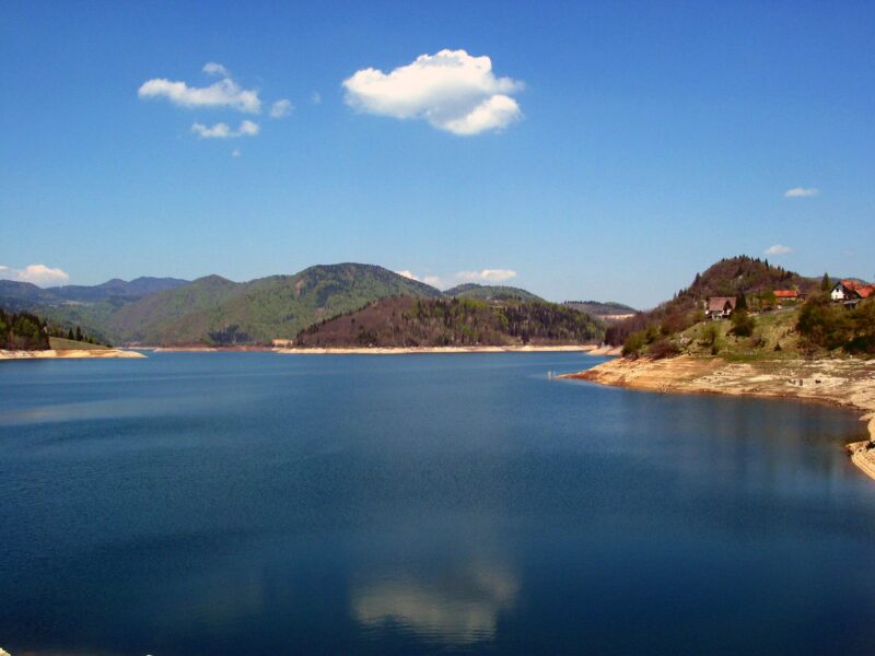
Zaovine Lake
Reservoir · artificial
4.3 square kilometresarea
892 metreselevation
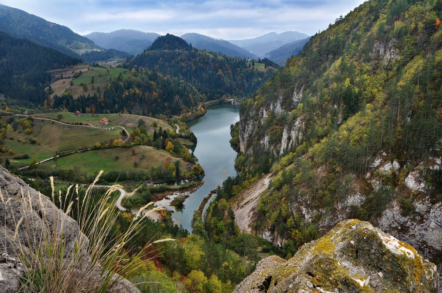
Photo: Vladimir Mijailović · CC BY-SA 4.0
Tara National Park covers a large part of Tara, a mountain in western Serbia that belongs to the Dinaric Alps. Its slopes are clad in dense forests with numerous high clearings and meadows, steep cliffs, deep ravines carved by the nearby Drina River and many karst caves, and the mountain is an extremely popular tourist centre. Six reserves were declared on the mountain in 1950, followed by more in the 1960s and 1970s, and the national park was established in July 1981. The highest peak is Zborište.
Banjska stena is the signature viewpoint: you can drive close to the top and walk 15–30 minutes, or hike up in about an hour and a half. The park has five secured viewpoints, among them Crnjeskovo, Banjska stena, Bilješka stena and Osluša, with Bilješka stena often quieter. Mitrovac, with the visitor centre, accommodation and marked trails, is the hub, and Zaovine Lake, a short drive away, is for swimming and fishing. A moderate loop of about 11.7 km from Banjska stena looks out on Lake Perućac. Drive the serpentine road at dawn for the best light, and expect fog on some days. The "house on the Drina" appears mostly as a stop on guided tours.
Map unavailable. The list keeps working.
Pinch to zoom. Pan with two fingers.
Ctrl+scroll to zoom (Cmd+scroll on Mac)
Serbia · Western Serbia
Reservoir · artificial
Tell us if something has changed or is missing. We read every message.
Thank you. We read every suggestion.