The Aheloy reservoir lies on the Aheloy, a small river of about 40 km that rises in the Aytos hills, part of the eastern Balkan range, and runs to the Gulf of Burgas. It is about 17 km inland from the town of Aheloy, behind the Black Sea coast between Burgas and Nesebar.
How it formed
The reservoir was built in 1964 to irrigate about 23 km² of farmland. The river is fed by rain, with high water in February and March and low water in August and September.
History
The river gave its name to the Battle of Achelous, fought on 20 August 917, when Tsar Simeon I defeated the Byzantine army. A monument to Simeon stands in the park of Aheloy town.
Visit
Swimming
No reliable information
Tips
The reservoir is a popular place to fish; a permit is required for fishing in Bulgaria’s lakes, dams and rivers. Pomorie and Ravda, on the coast nearby, are the places to stay.
Nearby lakes
Show on map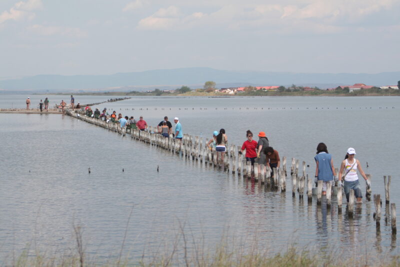


Know Aheloy Reservoir well?
Suggest a beach, viewpoint, trail or amenity, or tell us if something has changed. We read every message.
Sources & data
- Bulgaria's 2022 Water Framework Directive reporting to the EEA: lake (LW) and transitional (TW) water bodies, field cArea, European Environment Agency (WISE WFD), reported by Bulgaria, 2022
- OpenStreetMap: язoвир Ахелой (way 25222322), OpenStreetMap contributors
- Bulgarian Wikipedia: Ахелой (язовир), Wikimedia Foundation
- Wikidata: aheloy-reservoir (Q19704581), Wikimedia Foundation
- Wikipedia: Aheloy (river), Wikimedia Foundation
- Aheloy, Exciting Bulgaria
- Fishing in Bulgaria, Bait Your Hook