The Poroy reservoir is a small reservoir in an open valley near the village of Poroy, behind the Black Sea coast north of Pomorie, with oak forest on the slopes and a mosaic of shallow wetland, farmland, sandy banks and grassland around it.
Nature
Ruddy shelducks use the shallowest part, and waders stop on migration. The forest holds Balkan tits, treecreepers and several kinds of woodpecker, bee-eaters breed nearby, and hoopoes are about. The site lies on an intense flyway for storks, pelicans and birds of prey, especially in autumn.
Visit
Swimming
No reliable information
Tips
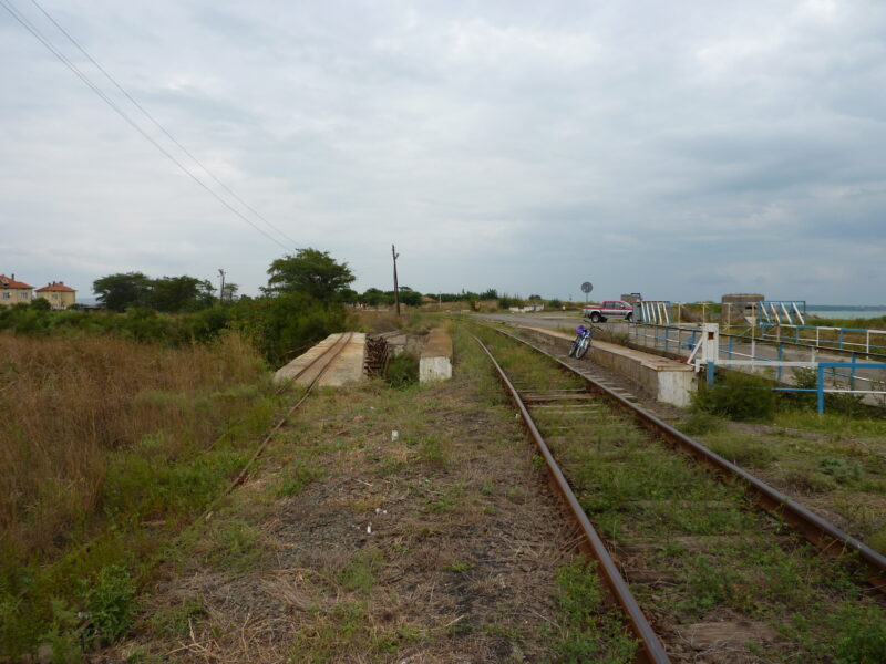
Follow road 90622 towards Poroy. About 1.5 km before the village you reach the oak forest, where you can park and walk. From the easternmost part of the village a cart track runs north-east into the open valley; leave the car near the track and walk to the shallowest part of the reservoir. A telescope is useful, there is no hide, and the spring and autumn migrations are the best times.
Nearby lakes
Show on map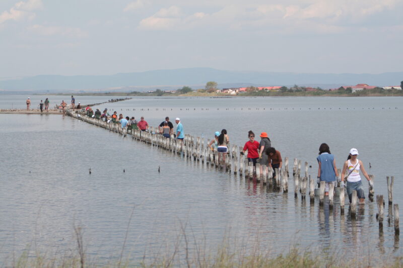


Know Poroy Reservoir well?
Suggest a beach, viewpoint, trail or amenity, or tell us if something has changed. We read every message.
Sources & data
- Bulgaria's 2022 Water Framework Directive reporting to the EEA: lake (LW) and transitional (TW) water bodies, field cArea, European Environment Agency (WISE WFD), reported by Bulgaria, 2022
- OpenStreetMap: язовир Порой (way 25222243), OpenStreetMap contributors
- Bulgarian Wikipedia: Порой (язовир), Wikimedia Foundation
- Wikidata: poroy-reservoir (Q104097758), Wikimedia Foundation
- Poroy reservoir, Birdingplaces