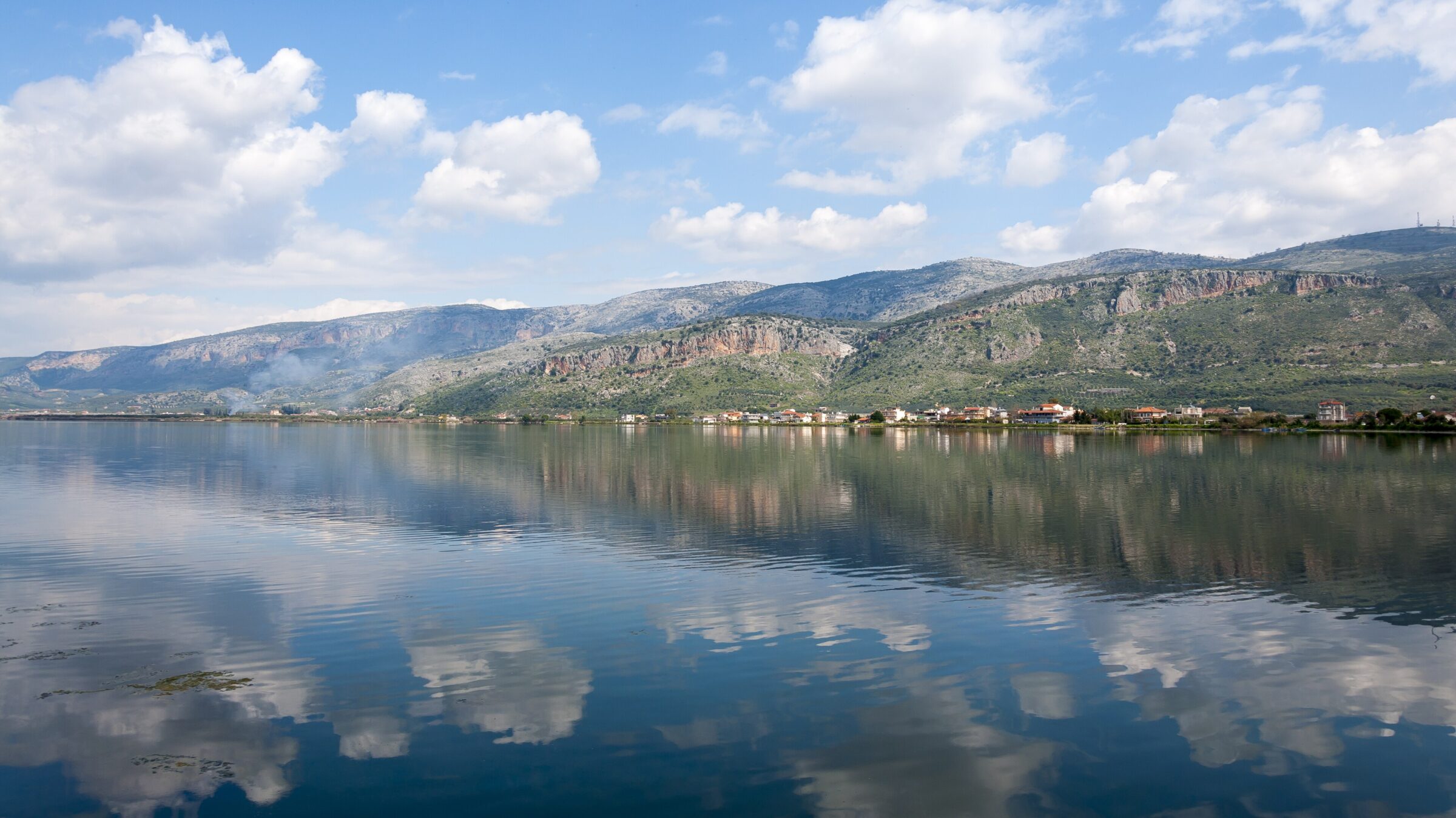
Photo: Ava Babili · CC BY-SA 4.0
The Aitoliko Lagoon lies in the south of Aetolia-Acarnania in western Greece. The island of Aitoliko, with the island town of the same name, separates it from the larger Missolonghi Lagoon to the south, and together they form the Missolonghi–Aitoliko Lagoons complex. Its water is brackish, and the lagoon is much deeper than its shallow neighbour. Oxygen runs short in a large part of the lagoon, a problem that has been reduced since 2002.
History
The old town of Aitoliko, once called Anatoliko, grew from an island fortress from the 12th century. In 1406 it was sold to Carlo I Tocco of Kefalonia, and the Venetians drew an income from its salt pans and fishing grounds. During the Greek War of Independence it endured three sieges and fell on the same day as Messolonghi in April 1826. Two stone bridges of the late 19th century link the island to the mainland on either side.
Local fishermen developed the stafnokari, a net hung from a small wooden crane on the edge of the boat. Few can now live from fishing, but the tradition is on the national inventory of intangible cultural heritage.
Nature
With a depth of up to about 28 m, it is more like a lake than a lagoon, linked to the central lagoon by a narrow neck. The complex is a national park with about 300 bird species, including Dalmatian pelicans, flamingos and avocets all year.
Visit
Getting there
Nearest settlement: Aitoliko
Swimming
No reliable information
Tips
The lagoons are best seen from the water: the non-profit Messolonghi by Locals runs eco-tours in a traditional boat with a guide, with fishermen along the route explaining their methods, and the lagoon is good for kayaking all year. The reed stilt houses (pelades) and fishing traps (divaria) are the area’s signature.
In Aitoliko, the Vaso Katraki Engraving Centre and Museum and a folklore museum are worth a visit, a small museum by the western bridge displays boats, and Limanaki Park and the southern side of town are the places for sunset. See the Messolonghi Lagoon page for more.
Nearby lakes
Show on map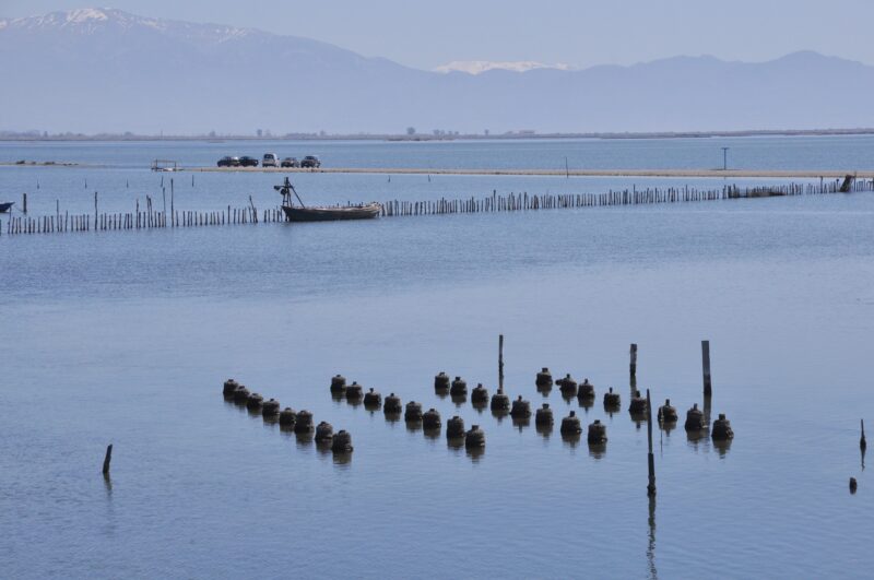


Know Aitoliko Lagoon well?
Suggest a beach, viewpoint, trail or amenity, or tell us if something has changed. We read every message.
Sources & data
- Greece's 2022 Water Framework Directive reporting to the EEA: lake (LW) and transitional (TW) water bodies, field cArea, European Environment Agency (WISE WFD), reported by Greece, 2022
- OpenStreetMap: Λιμνοθάλασσα Αιτωλικού (relation 1978335), OpenStreetMap contributors
- English Wikipedia: Aitoliko Lagoon, Wikimedia Foundation
- Wikidata: Aitoliko Lagoon (Q4699333), Wikimedia Foundation
- Traditional fishing in Messolonghi-Aitolikos lagoons, Greek Reporter
- Wikipedia: Aitoliko, Wikimedia Foundation
- Messolonghi lagoons: birds, salt and history for families (2026), Greek City Times
- Fishing with stafnokari in the Aitoliko lagoon, European Heritage Days
- Birding in Messolonghi, Hellenic Ornithological Society