
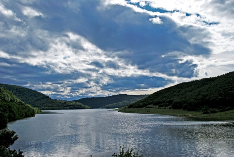
 Photo: Xhemail Shabani · CC BY-SA 3.0
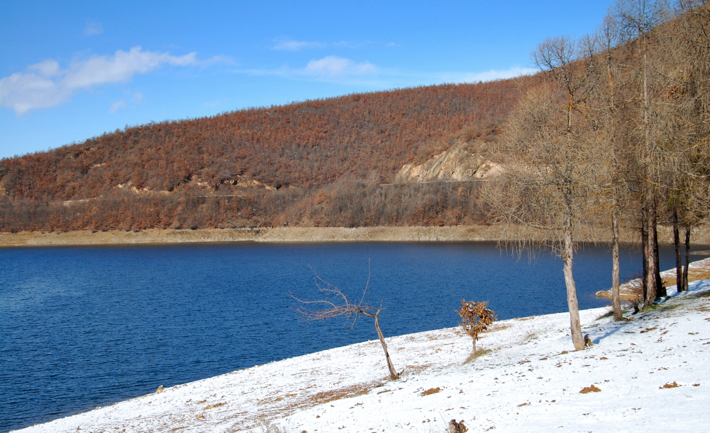
Photo: Bujar I Gashi · CC BY-SA 3.0
Batllava Lake, Batlavsko jezero in Serbian, is a long reservoir among mountains and forests in the Llap region of north-eastern Kosovo, about 13 km from Podujevë and 30 km from Pristina. It is one of Kosovo’s main summer destinations.
How it formed
The dam, at the lake’s western end, was built from 1961 to 1965 on the small Batllava river, to supply water to the coal-fired power plants at Obiliq. Those plants now draw on Gazivoda, and the lake has become the main source of drinking water for Pristina and Podujevë. It takes its name from the nearby village of Batllava.
Nature
The lake is known for carp and northern pike, and fishing competitions are held every year.
Visit
Getting there
Nearest settlement: Podujevo
Swimming
Allowed
Tips
Bathing is at the eastern end of the lake, and fishing, boating, kayaking, diving, water skiing and camping are all popular. Nearby restaurants serve fish and traditional food. The Kosovo Swimming Federation holds an international swimming marathon here each year, over a course of about 4 km.
Hiking routes run around the reservoir, and traditional mountain villages lie nearby. The water level changes with the season.
Nearby lakes
Show on mapPhoto: Xhemail Shabani · CC BY-SA 3.0
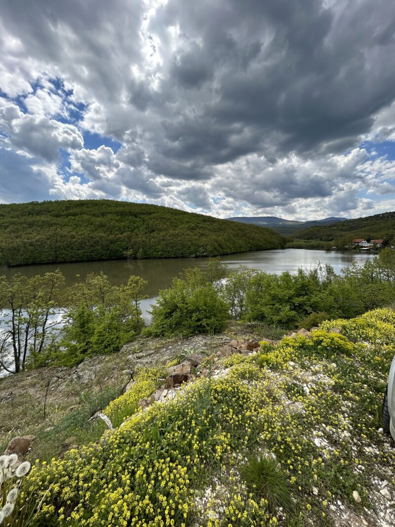 Photo: PrincesSasha · CC BY-SA 4.0

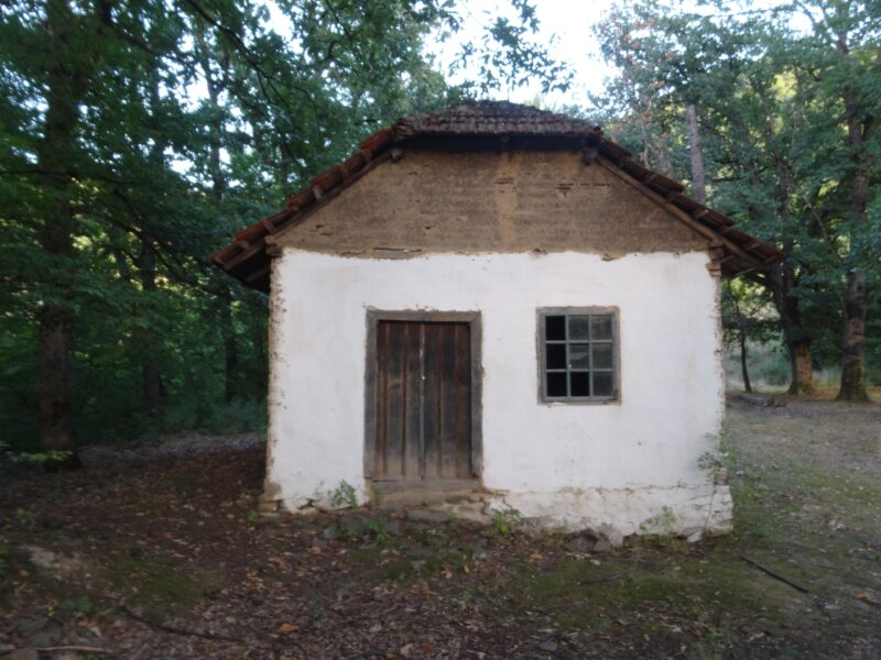 Photo: Mickey Mystique · CC BY-SA 4.0

Know Batlava Lake well?
Suggest a beach, viewpoint, trail or amenity, or tell us if something has changed. We read every message.
Sources & data
- English Wikipedia: Batllava Lake, Wikimedia Foundation
- Serbian Wikipedia: Списак језера у Србији, Wikimedia Foundation
- Wikidata: Batllava Lake (Q810843), Wikimedia Foundation
- OpenStreetMap: Liqeni i Batllavës (way 8027166), OpenStreetMap contributors
- Wikipedia: Water in Pristina, Wikimedia Foundation
- Batllava Lake, Kosovo Vacations