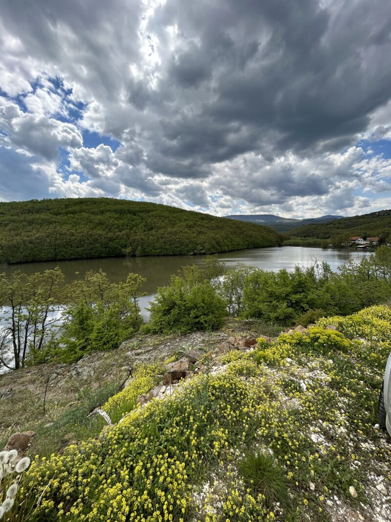
 Photo: PrincesSasha · CC BY-SA 4.0
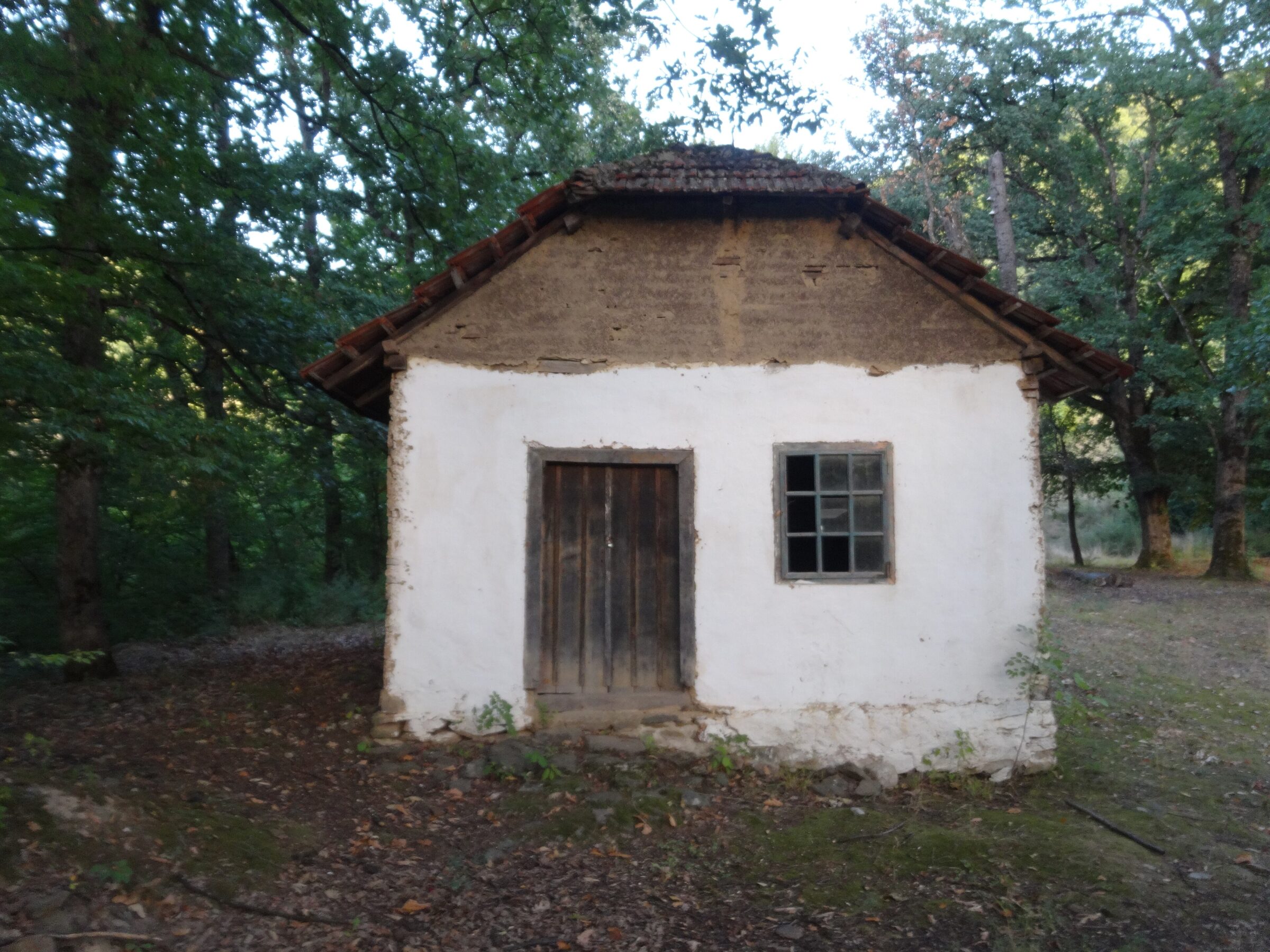
Photo: Mickey Mystique · CC BY-SA 4.0
Barje is a long, narrow reservoir on the Veternica at the foot of Kukavica, some 30 km upriver from Leskovac, at the village of the same name. A high dam across the river’s canyon holds it back.
How it formed
Built between 1984 and 1989, the dam was meant first to protect Leskovac and Lebane from floods. Supplying water is now its main purpose.
Nature
Pike, carp, perch, zander, silver carp and chub live in the lake, along with white bream and a notable population of river crayfish.
Visit
Getting there
Nearest settlement: Leskovac
Swimming
No reliable information
Tips
The steep banks are hard to reach, so few people come here, and any approach for fishing or walking needs planning. The warmer months are the best time, when the weather is more stable and the paths easier. As the lake supplies drinking water, ask locally about fishing and swimming.
The nearest major sights are the ruins of the Byzantine city of Justiniana Prima and the rock towers of Đavolja Varoš, both within about 20 km as the crow flies.
Nearby lakes
Show on map


Know Barje well?
Suggest a beach, viewpoint, trail or amenity, or tell us if something has changed. We read every message.
Sources & data
- OpenStreetMap: Барје (way 640698159), OpenStreetMap contributors
- Serbian Wikipedia: Списак језера у Србији, Wikimedia Foundation
- Tourist guide: rivers and lakes, City of Leskovac
- Tourist guide: hunting and fishing, City of Leskovac
- Jezero Barje, Aroundus