 Photo: Mickey Mystique · CC BY-SA 4.0
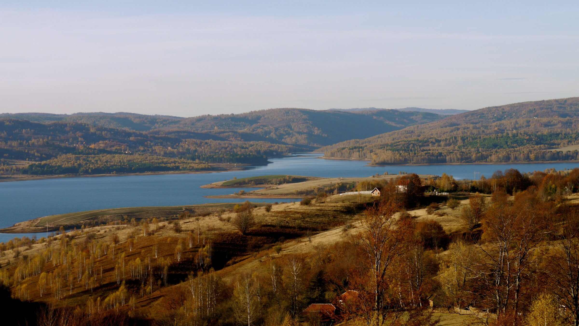
Photo: Jenny Poole · CC BY 2.0
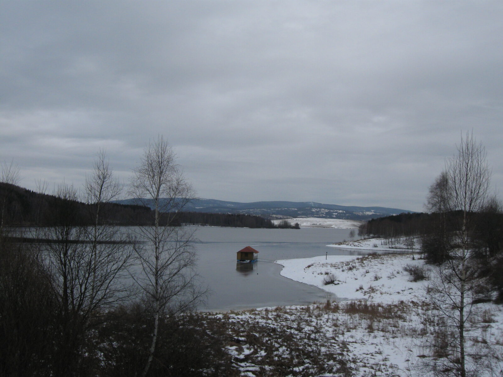
Vlasina Lake is a semi-artificial lake in south-eastern Serbia, the highest and largest artificial lake in the country. It was created between 1947 and 1951 when a dam closed off the peat bog of Vlasinsko Blato and the waters of incoming rivers, chiefly the Vlasina, covered it. Its best-known feature is the floating peat islands that drift across it.
How it formed
The lake lies on the Vlasina plateau in the municipalities of Surdulica and Crna Trava, surrounded by the mountains Čemernik, Vardenik and Gramada. Surveys showed that a lake had existed in the area in the distant past. The central part is wide and deep, and the eastern shore is jagged, with two bays, Biljanina Bara and the smaller Murin Zaliv. The southern part is shallower, with swampy, peaty shores.
History
The lake was made in the 1940s and 1950s as part of the Vlasina hydropower system, which also includes the Lisina reservoir.
Nature
The most famous feature of the lake is its floating islands. They did not exist in the former peat bog and began to appear in 1948, when the lake was created: at high water, loose chunks of peat break off the shore, and the wind drives them across the lake. They carry plants and animals and are shelter and food for fish, which makes them a target for anglers, but visiting or disturbing them is forbidden because of their unique ecosystems. Permanent islands on the eastern coast are covered with greenery and forest.
Thirty islands, one called Moby Dick
There are about thirty larger and smaller islands, and the biggest one is called Mobi Dik. In winter the ice stops them, and they rest near the shore instead of drifting. Cormorants nest near the islands, and birdwatching is good at the wetland and forest edges. Deer, foxes and wild boar are possible in the quieter parts, mostly in the morning and evening.
Fish
The lake is known to anglers for perch, chub, catfish, carp, white amur and trout. Do not land on the islands, and ask locally about permits and the season.
Gallery
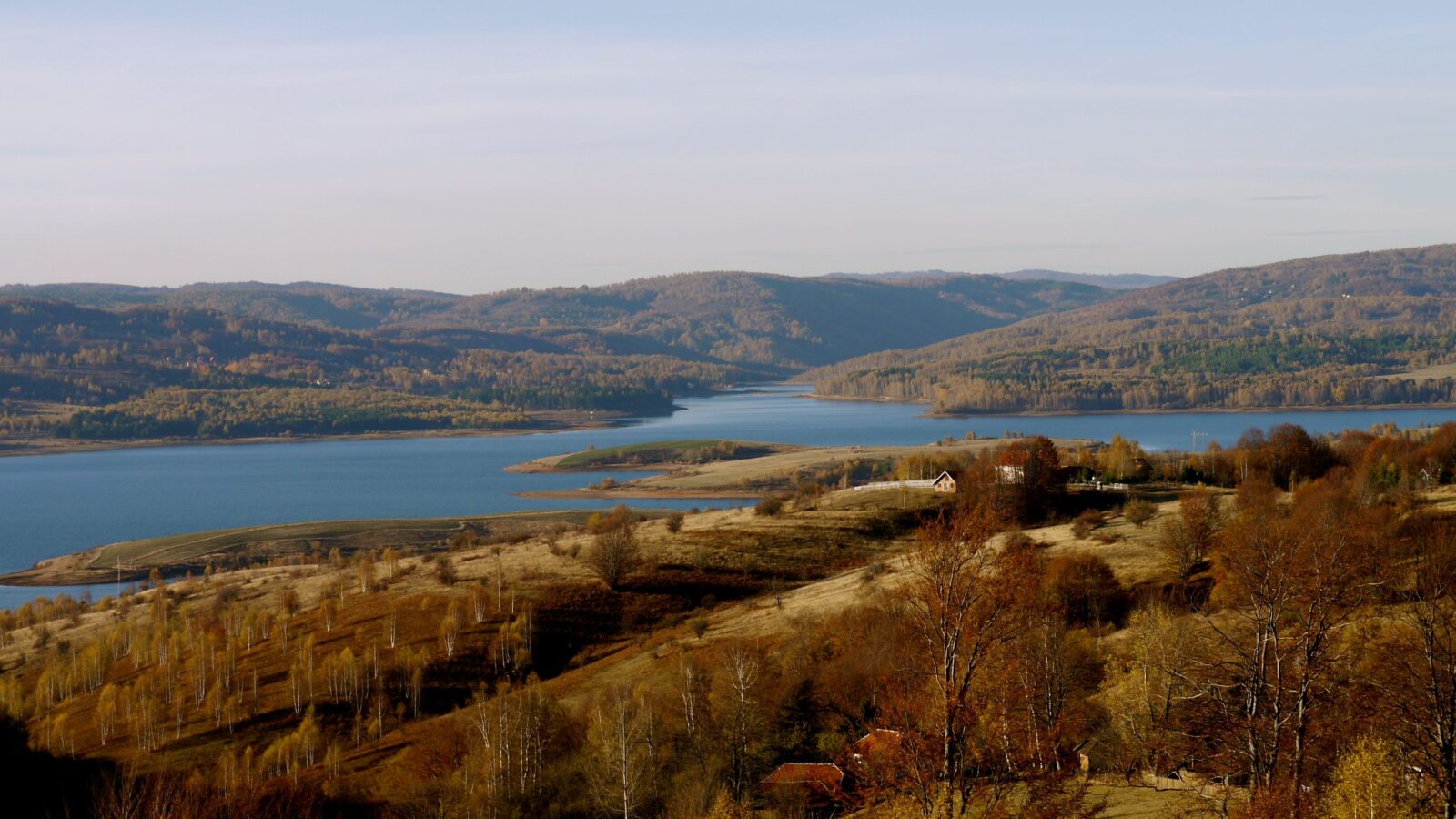 Photo: Jenny Poole · CC BY 2.0
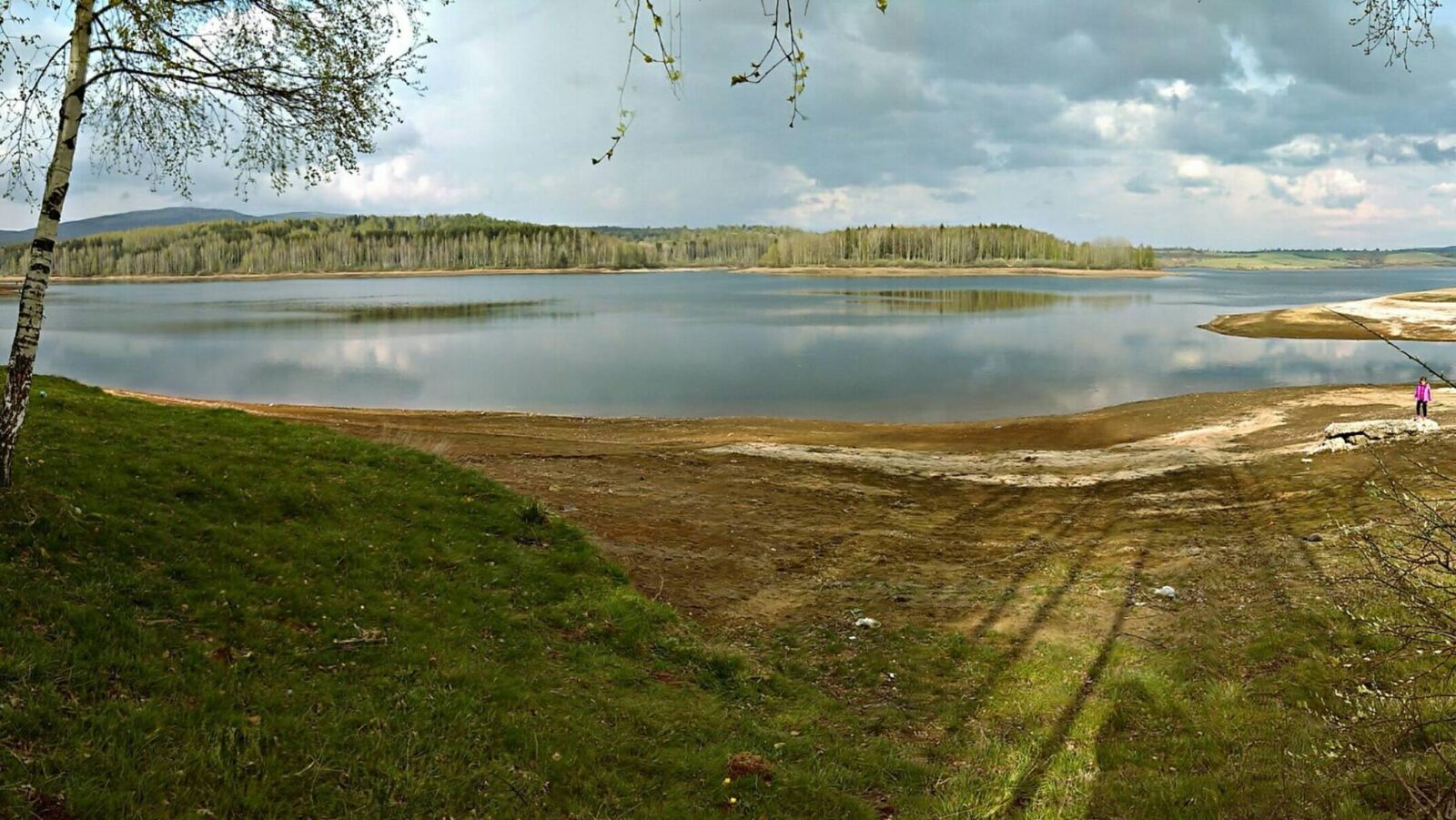 Photo: Brankica Bogdanovic · CC BY-SA 4.0
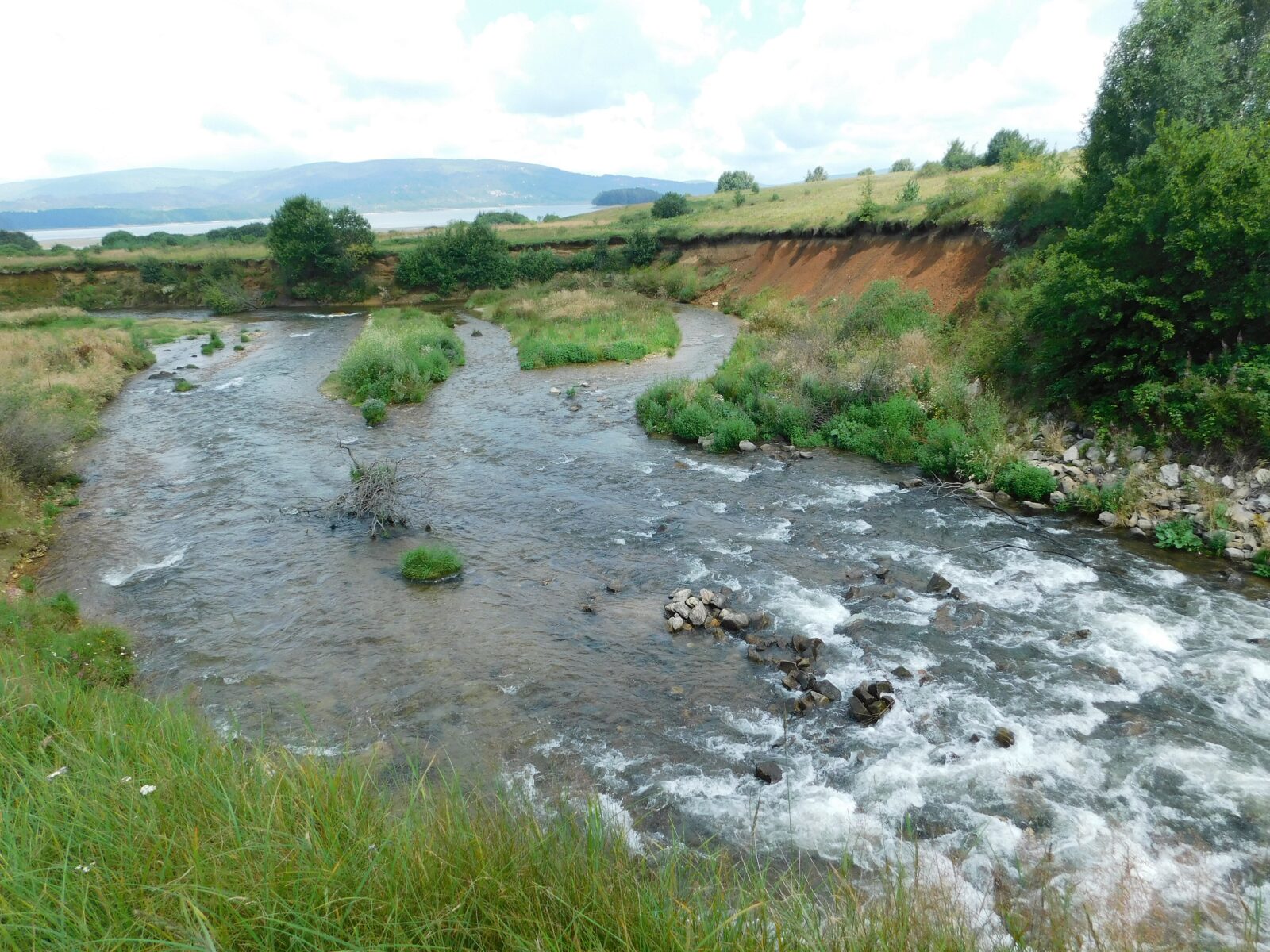 Photo: Nikola Veljković · CC BY-SA 4.0
Visit
Getting there
Nearest settlement: Surdulica
Swimming
No reliable information
Tips
The lake is most easily reached from the south-west, along a road from Surdulica. The village of Vlasina Rid lies on its north-western shore. Because the floating islands are protected, do not land on them.
Walking
A loop around the lake is about 12 km, taking 4–5 hours, mostly flat with some gentle inclines. Short day hikes climb to the grassy ridges of Čemernik and Vardenik, for views over the lake and the plateau. The trails are poorly marked, so take a map or GPS and check conditions locally.
When to go and where to stay
March to November is the usual window, with spring and autumn quieter; the weather changes quickly, and nights can be near freezing in spring and autumn, so bring layers. Calm mornings give the best reflections for photographs. Surdulica, about 30 minutes away, has hotels, a hostel and shops, and there are campsites and guesthouses by the lake. Public transport is thin, so a car is the practical choice, and a local fish stew is worth trying. Some residents report that the lake has pulled back from its shore and lost water in recent years.
Nearby lakes
Show on map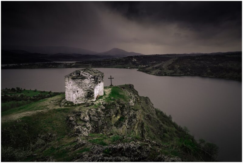


Guides
All guides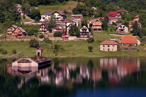
Unusual and hidden lakes in the Balkans you probably haven't heard of
Floating islands, a tortoise island, a church standing in the water, a lake that turns into a football pitch and remote Prokletije lakes: seven off-the-beaten-path lake stops in the Balkans.
Know Vlasina Lake well?
Suggest a beach, viewpoint, trail or amenity, or tell us if something has changed. We read every message.
Sources & data
- Statistički godišnjak Republike Srbije 2022, table 1.6 "Jezera preko 4 km²", Republički zavod za statistiku Srbije, 2022
- Wikidata: Vlasina Lake (Q2140169), Wikimedia Foundation
- English Wikipedia: Vlasina Lake, Wikimedia Foundation
- OpenStreetMap: Власинско језеро (relation 7739940), OpenStreetMap contributors
- Visit Vlasina, Take Your Backpack
- Vlasina: ekološka oaza juga Srbije, Danas