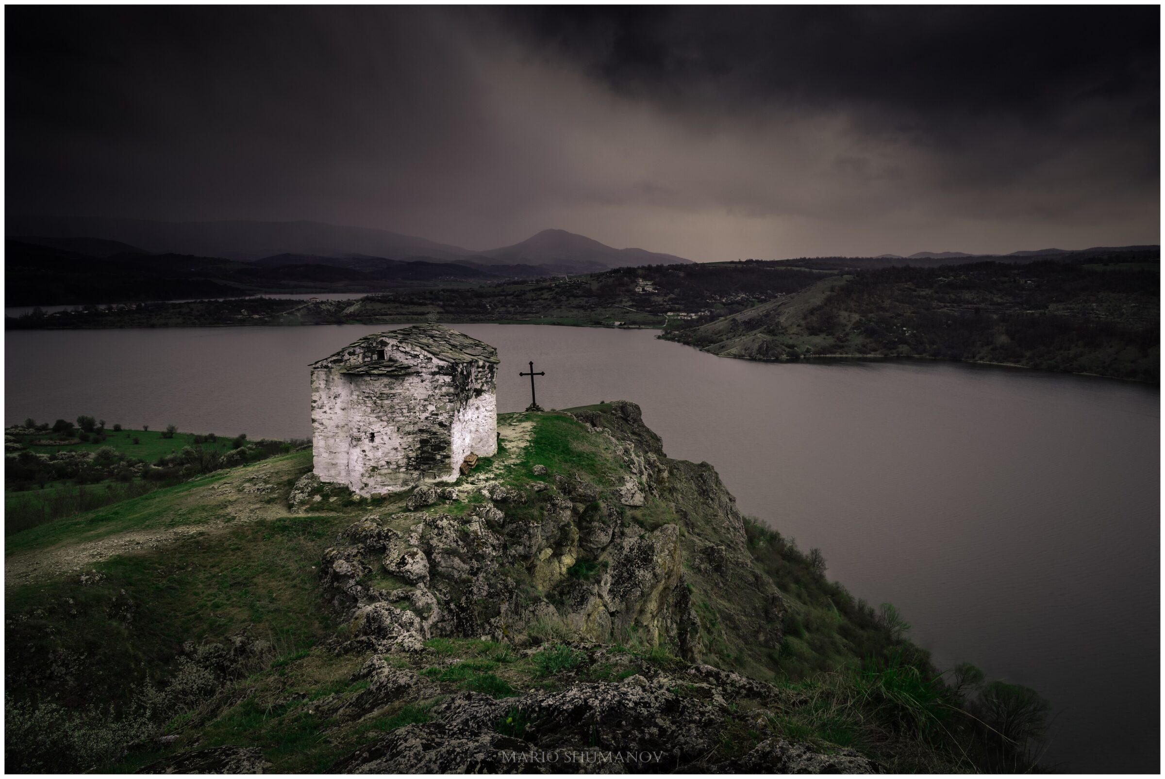
Photo: Marioshumanov · CC BY-SA 4.0

The Pchelina reservoir lies on the Struma in Kovachevtsi municipality, Pernik Province, with a shoreline of about 34 km. It takes its name from the village of Pchelintsi, which was resettled and submerged when the lake was filled.
How it formed
In use since 1974, and called Lobosh until 1976, it is held by an earth dam over 600 m long, near the village of Lobosh. The lake is more than 18 m deep, the mouth of the Svetlya river lies under it, and a great deal of sediment has settled on the bottom.
History
The medieval chapel of St John the Summer, with 16th-century frescoes, stands on the shore. It is the only surviving part of the flooded village.
Visit
Swimming
No reliable information
Tips
The area around the chapel, near the village of Potsarnentsi, is a pleasant place for a weekend walk. The shore also has rest stations of the Bulgarian Academy of Sciences and a leisure complex with pools.
Nearby lakes
Show on mapBulgaria · Southwestern Bulgaria
Dikanya Reservoir
Reservoir · artificial
~26 kmaway
709 metreselevation
Know Pchelina Reservoir well?
Suggest a beach, viewpoint, trail or amenity, or tell us if something has changed. We read every message.
Sources & data
- Bulgaria's 2022 Water Framework Directive reporting to the EEA: lake (LW) and transitional (TW) water bodies, field cArea, European Environment Agency (WISE WFD), reported by Bulgaria, 2022
- OpenStreetMap: яз. Пчелина (relation 12341263), OpenStreetMap contributors
- Bulgarian Wikipedia: Пчелина (язовир на Струма), Wikimedia Foundation
- Wikidata: Pchelina Reservoir (Q12291777), Wikimedia Foundation
- 10 reservoirs for a weekend escape, part 2 (2024), Spisanie 360
- Potsarnentsi: the chapel of St John the Summer (2022), BTA