Bulgaria · Southwestern Bulgaria
Dikanya Reservoir
Reservoir · artificial
~11 kmaway
709 metreselevation
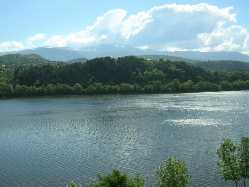
The Studena reservoir lies on the upper Struma at the western edge of Vitosha, on the lands of Studena, Kladnitsa and Bosnek in Pernik municipality. Its main purpose is to supply drinking and industrial water to Pernik and nearby settlements.
Commissioned in December 1953, its concrete dam with buttresses is 53 m high and 268 m long. A landslide soon blocked the lower gate of the intake tower, and its repair in the mid-1960s was the first use of underwater welding in Bulgaria. The spillway was raised in 1992. Besides the Struma, it takes water by canal from the Iskar basin on the far side of Vitosha.
The lake was built over the villages of Vitoshko and Krapets, which were erased in 1953.
No reliable information
Fishing is banned because the reservoir supplies drinking water, and the area is guarded.
Bulgaria · Southwestern Bulgaria
Reservoir · artificial
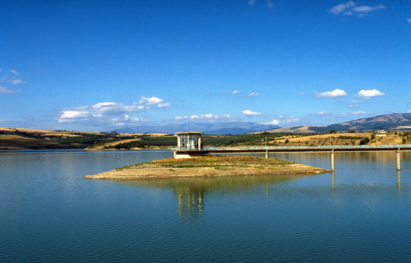 Photo: Historical Museum, Dupnitsa · CC BY-SA 4.0
Bulgaria · Southwestern Bulgaria
Reservoir · artificial
Suggest a beach, viewpoint, trail or amenity, or tell us if something has changed. We read every message.
Thank you. We read every suggestion.