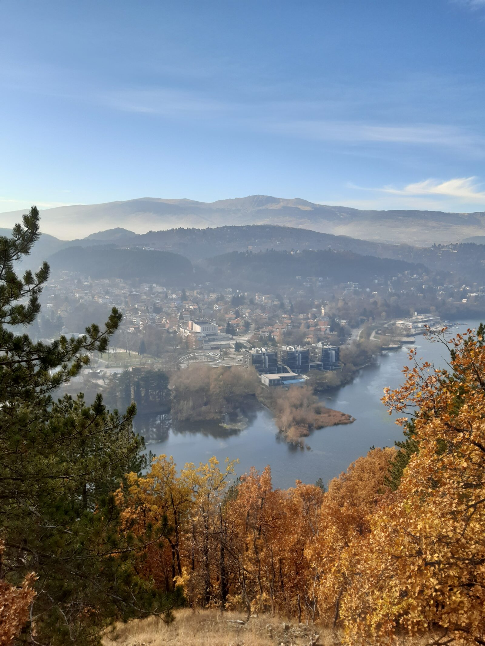


 Photo: No machine-readable author provided. Preslav~commonswiki assumed (based on copyright claims). · Public domain

Bulgaria · Southwestern Bulgaria
Iskar Reservoir
Reservoir · artificial
~19 kmaway
817.65 metreselevation
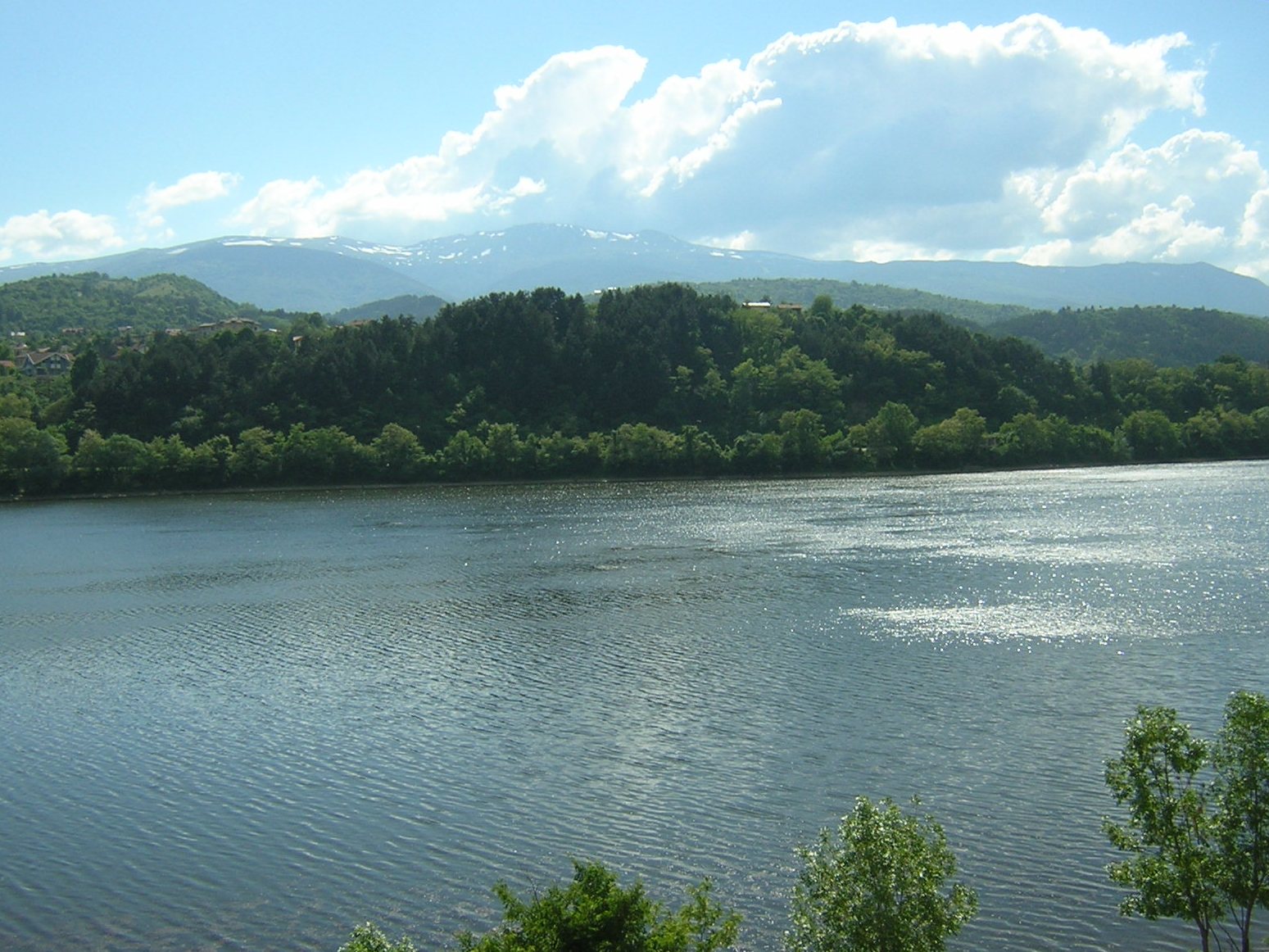
Photo: No machine-readable author provided. Preslav~commonswiki assumed (based on copyright claims). · Public domain
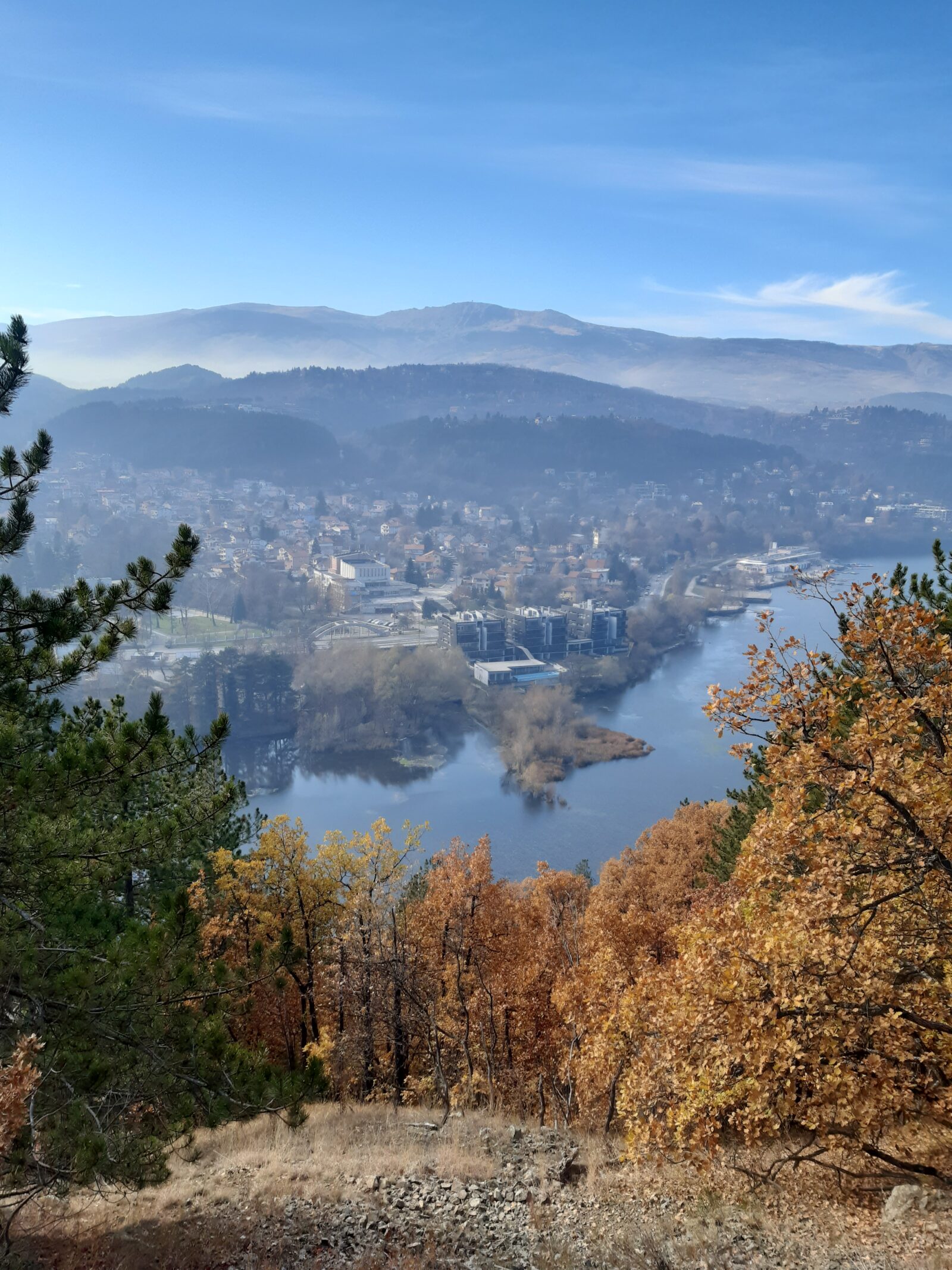
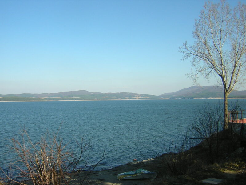
Lake Pancharevo is an artificial lake in western Bulgaria, at the end of the Pancharevo Gorge of the Iskar river, south-east of the capital Sofia. It lies between the mountain ranges of Vitosha and Lozen, and the Vitoshka Bistritsa flows into it. Villages around it include Lozen, Dolni Pasarel, Gabra and German. It lies not far from the centre of Sofia.
The lake was made by damming the Iskar in the mid-1950s, behind an earth dam with a clay core 22 m high. It was first meant as the start of a navigation canal, and the “Sofia Sea” nickname stayed. It is about 2.4 km long, 700 m wide and up to 18 m deep, and it evens out the daily flow from the Pasarel and Kokalyane power plants. The mineral springs in the old riverbed were preserved and brought to the shore, where they still supply a bath building, fountains and an open mineral pool.
The National Rowing Base opened in 1968, then the most modern in the country, with stands, an observation tower and a 2,100 m course. The lake hosted the World Canoe-Kayak Championship in 1977 and the World Youth Water Sports Championship in 1981.
Nearest settlement: Sofia
No reliable information
Pancharevo is about 15 km south-east of central Sofia, with buses 1, 3 and 4. By car, the Panoramic Road comes from Knyazhevo through Boyana, Dragalevtsi, Simeonovo and Bistritsa, and another road through German reaches the eastern end of the dam. The central pier near the rowing centre has boats for hire, and boat and pedal-boat trips are popular. Sailing, rowing and fishing all go on here; anglers have many shoreline spots but need permission, so check the current rules, and there is also a paid fishing pond.
The shore has a beach strip of about 1,300 m, parks, sports grounds and restaurants, mainly on the western side in Pancharevo and Kokalyane. Ask locally about the water before swimming. The 4 km Panoramic eco-trail follows the slopes of the Lozen mountain from above German to the Kokalyane power plant. Urvich fortress and Kokalyane Monastery are in the gorge upstream. May to September suits rowing and cafés, and autumn brings colour and fewer people.
Photo: No machine-readable author provided. Preslav~commonswiki assumed (based on copyright claims). · Public domainBulgaria · Southwestern Bulgaria
Reservoir · artificial
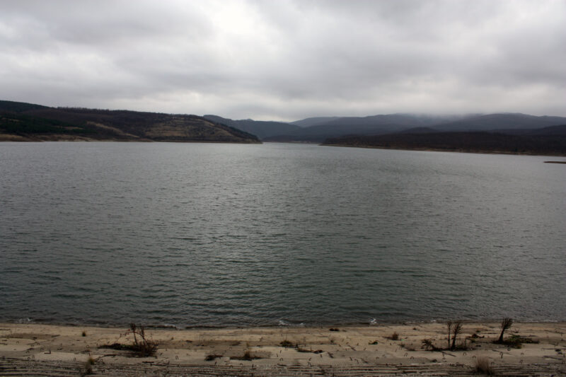 Photo: Edal Anton Lefterov · CC BY-SA 3.0
Suggest a beach, viewpoint, trail or amenity, or tell us if something has changed. We read every message.
Thank you. We read every suggestion.
