
Bulgaria · Southwestern Bulgaria
Dikanya Reservoir
Reservoir · artificial
~10 kmaway
709 metreselevation
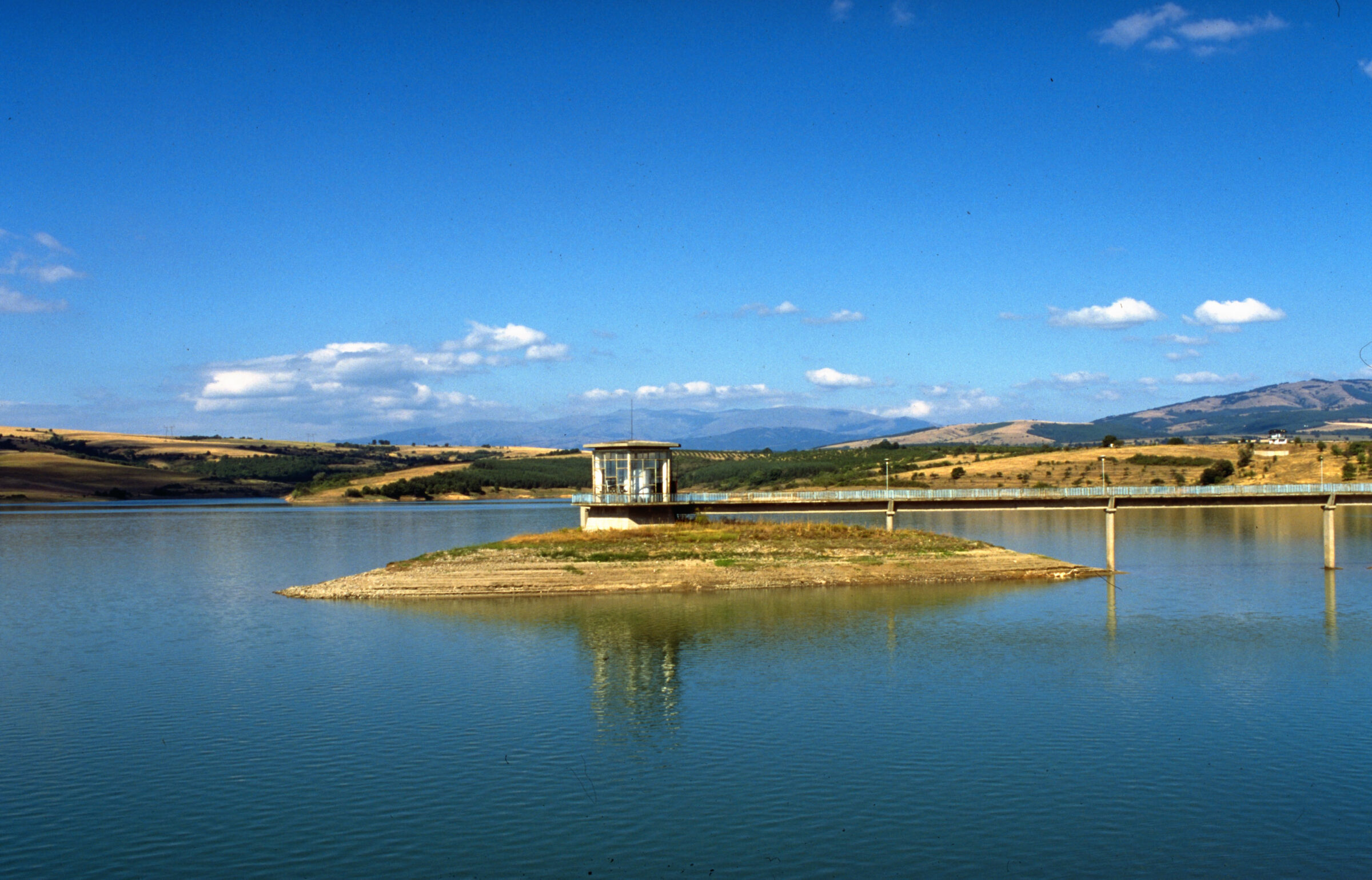
Photo: Historical Museum, Dupnitsa · CC BY-SA 4.0
The Dyakovo reservoir lies at about 666 m on the land of Dyakovo village in Dupnitsa municipality, about 10 km north-west of Dupnitsa. It covers about 2 km² and is known for its spread-out shape, like an open palm.
Completed in 1975, with an earth dam 510 m long, it has hardly any catchment of its own and is filled by two diversion systems from rivers including the Otovitsa, the Bistritsa and the Dzherman. It supplies the Bobov Dol power station and some neighbouring villages.
No reliable information
The lake holds catfish, carp, chub and trout, and in 2024 anglers landed a catfish reported at 2.7 m and 120 kg. Free fishing is said to be forbidden, so ask about permits first. The E79 road passes about 2 km from the village, and Dyakovo station is on the Sofia–Blagoevgrad line. The spa town of Sapareva Banya, with its geyser, is about 20 km away.
Bulgaria · Southwestern Bulgaria
Reservoir · artificial
Suggest a beach, viewpoint, trail or amenity, or tell us if something has changed. We read every message.
Thank you. We read every suggestion.