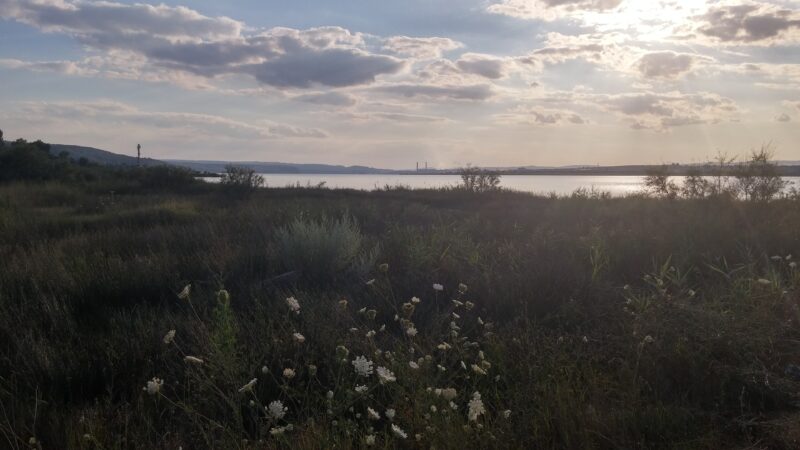
 Photo: ShockD · CC BY-SA 4.0
Lake Beloslav is a smaller liman of about 10 km², up to about 14 m deep, west of Varna Lake and joined to it by a canal. The Devnya and Provadiyska rivers feed it, and with Varna Lake it forms the only wetland between the Shabla and Durankulak lakes in the north and the Burgas lakes in the south.
How it formed
In the 1970s the lakes were converted into a ship canal to the Black Sea, and industrial sites, roads and railways now line the shores. The water is brackish.
Nature
Reed beds line the shore, and small salt pans at the western end hold nesting avocets. The complex is important for waterbirds on migration and in winter, with Dalmatian pelicans each winter and up to 50,000 white storks passing overhead each autumn. The Yatata wetland lies north of the canal between the lakes.
Visit
Swimming
No reliable information
Tips
Guided day tours from Varna head west along the lakes, with Yatata as the main stop for birds, and penduline tits, black-headed buntings and eagle owls among the targets. Spring and autumn, when soaring birds pass overhead along the Via Pontica, are the most rewarding times. Some tours add the Roman mosaics museum in Devnya.
Nearby lakes
Show on map


Know Beloslav Lake well?
Suggest a beach, viewpoint, trail or amenity, or tell us if something has changed. We read every message.
Sources & data
- Bulgaria's 2022 Water Framework Directive reporting to the EEA: lake (LW) and transitional (TW) water bodies, field cArea, European Environment Agency (WISE WFD), reported by Bulgaria, 2022
- OpenStreetMap: Белославско езеро (relation 13456783), OpenStreetMap contributors
- Varna-Beloslav Lakes Complex IBA, BirdLife International
- Fish diversity of the Varna and Beloslav lakes, MDPI Fishes
- Birds, nature and sightseeing tour around the Varna–Beloslav lake, Magpie